photo sharing and upload picture albums photo forums search pictures popular photos photography help login
Dave Beedon | profile | all galleries >> Places >> Utah >> Moab (environs) >> Jackson Butte tree view | thumbnails | slideshow

4922 Plateau | Arches National Park | Canyonlands National Park | Castle Valley (introduction) | Castle Valley: Round Mountain | Castle Valley: Castleton Tower | Corona Arch | Corona Arch Domes | Day Canyon | Dead Horse Point State Park | The Goose Neck | Ida Gulch | Jackson-Kane plateau | Jeep Arch | Monitor and Merrimac Buttes | Negro Bill Canyon ("NBC") | Other Moab Environs | Poison Spider Mesa: Loop Through the Fins | Poison Spider Mesa: Return to the Maw | Potash Area | Sand Flats | Shafer Trail | Tombstone Plateau | White Rim Trail | Moab: Tilted Hunter-Gatherer Plateau

Jackson Butte

Jackson Butte is a tilted mesa near Moab, Utah. It lies inside a curving valley called Jackson Hole,
which is an abandoned meander of the Colorado River. This Jackson Hole is not the same as Jackson
Hole, Wyoming! The butte is at the center of this WikiMapia aerial view.


I first saw Jackson Butte in 2004, when driving through Potash on my way to Shafer Trail.
Immediately I heard it call to me (to be explored), but before I could answer the call
I had to determine how to get to it. Maps showed me that the best access route was via
the Amasa Back Trail.Photos of the butte taken by mountain bikers who rode on that
trail showed that most of the butte was sheer cliffs; only the east side offered any
hope of a scrambling ascent, and even it looked very rugged. My heart sank.

But when I read a book called "Mountain Biking Moab" by David Crowell, I saw something that raised my
spirits again: one of its route maps shows a foot trail going from Jackson Hole to the summit of
Jackson Butte. That meant that reaching the summit was a sure thing. (The book was wrong: there is no trail.)

However, I still had doubts, so I asked around in Moab about the trail. No one knew anything
about it. One or two businesses told me that if anyone knew anything, it would be Pagan
Mountaineering. They, too, knew nothing. So in October 2006 I went to Moab with the intention
of exploring the butte, hoping---but not believing---that a scrambling route to the top
existed. The photos in the "Amasa Back Trail" gallery document that exploration.

In March 2007 I returned for more exploration; that is shown in the "Jackson Trail" gallery.

.
Jackson Butte via Amasa Back Trail
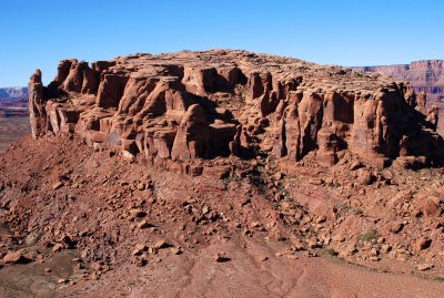
:: Jackson Butte via Amasa Back Trail 
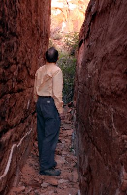
::
The Vine That Ruined My Day
:: The Vine That Ruined My Day 
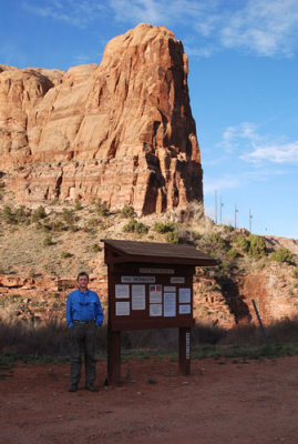
::
Jackson Butte via Jackson's Trail
:: Jackson Butte via Jackson's Trail ::