photo sharing and upload picture albums photo forums search pictures popular photos photography help login
Dave Beedon | profile | all galleries >> Places >> Utah >> Moab (environs) >> Potash Area tree view | thumbnails | slideshow

4922 Plateau | Arches National Park | Canyonlands National Park | Castle Valley (introduction) | Castle Valley: Round Mountain | Castle Valley: Castleton Tower | Corona Arch | Corona Arch Domes | Day Canyon | Dead Horse Point State Park | The Goose Neck | Ida Gulch | Jackson-Kane plateau | Jeep Arch | Monitor and Merrimac Buttes | Negro Bill Canyon ("NBC") | Other Moab Environs | Poison Spider Mesa: Loop Through the Fins | Poison Spider Mesa: Return to the Maw | Potash Area | Sand Flats | Shafer Trail | Tombstone Plateau | White Rim Trail | Moab: Tilted Hunter-Gatherer Plateau

Potash Area


"Potash Area" covers Potash, the site of a huge mine, and Potash Road, the paved highway that provides access to the mine. The name "Potash Road" is not handled uniformly by various media, which is discussed in "Official Naming of Roads Near Potash."

The road continues beyond the mine all the way to Canyonlands National Park. That continuation is covered by the Shafer Trail gallery.


.
Official Naming of Roads Near Potash
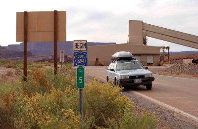
:: Official Naming of Roads Near Potash 
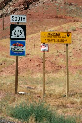
::
Highway 191 and Potash Road (Highway 279)
:: Highway 191 and Potash Road (Highway 279) 
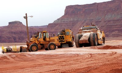
::
Industrial Scenes at the Mine
:: Industrial Scenes at the Mine 
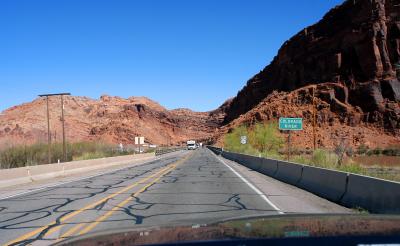
::
Hwy 191 to Rock Slide
:: Hwy 191 to Rock Slide 
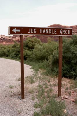
::
Jug Handle Arch
::
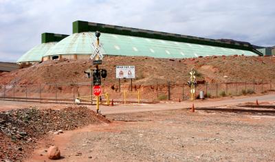
 Jug Handle Arch ::
Potash
:: Potash 
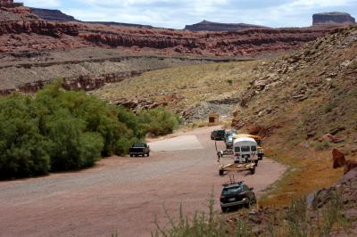
::
Potash Boat Ramp
:: Potash Boat Ramp ::