photo sharing and upload picture albums photo forums search pictures popular photos photography help login
Dave Beedon | profile | all galleries >> Places >> Utah >> Moab (environs) >> Potash Area >> Jug Handle Arch tree view | thumbnails | slideshow

Official Naming of Roads Near Potash | Highway 191 and Potash Road (Highway 279) | Industrial Scenes at the Mine | Hwy 191 to Rock Slide | Jug Handle Arch | Potash | Potash Boat Ramp

Jug Handle Arch

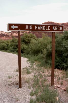
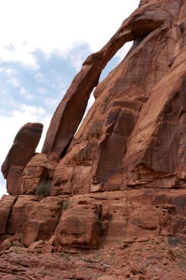
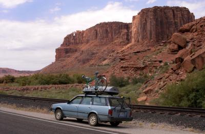
Appealing natural rock formations abound around Moab. Jug Handle Arch is one of these. It is right
next to the highway and appears suddenly as one comes around a curve. Across the river from here
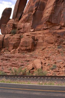
is a huge sandstone wall called "The Billboard," part of the base of a ridge called Amasa Back.

The arch appears at the center of this WikiMapia aerial photo.

.
Sign points the way
Sign points the way
Jug Handle Arch
Jug Handle Arch
Track at the arch
Track at the arch
Crossing
Crossing
Sign
Sign
Car
Car