


|
|
|
|
|
|
| Dave Beedon | profile | all galleries >> Places >> Utah >> Moab (environs) >> Potash Area >> Potash Boat Ramp | tree view | thumbnails | slideshow |
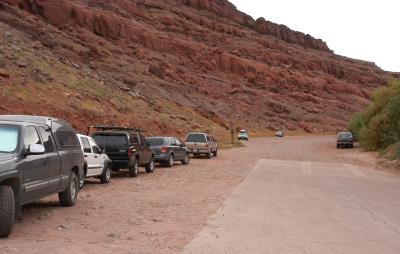
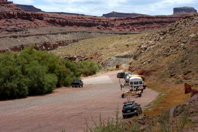 Looking south at the parking lot , top end of the boat ramp, and the pit toilet |
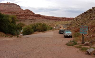 Closer view of the boat ramp and toilet |
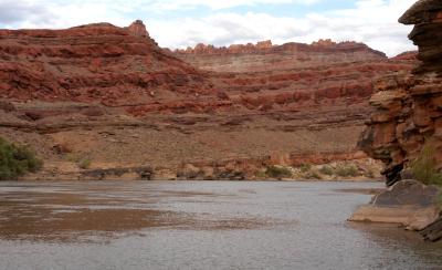
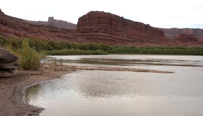 Looking upstream from the bottom of the boat ramp (1 of 2) |
 Looking upstream from the bottom of the boat ramp (2 of 2) |
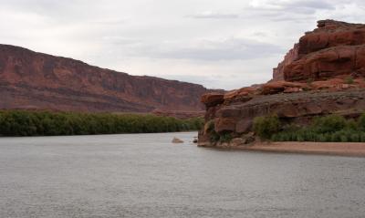
 Looking downstream from the bottom of the boat ramp |
 Looking north from the top of the boat ramp |
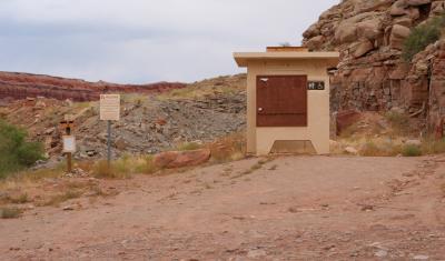 Toilet |
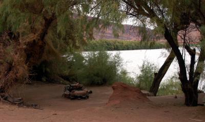 Unofficial campsite in the trees at river's edge |
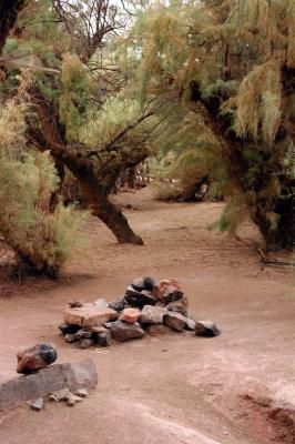 Campsite |
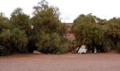 Camping area |
| comment | share |