


|
|
|
|
|
|
| Dave Beedon | profile | all galleries >> Places >> Utah >> Moab (environs) >> Potash Area >> Official Naming of Roads Near Potash | tree view | thumbnails | slideshow |
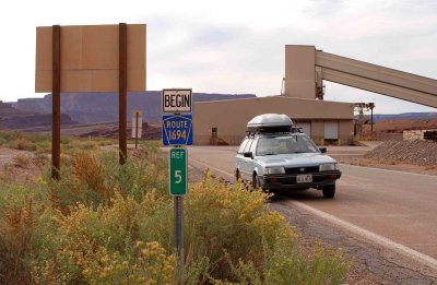 Potash Road ends and Federal Route 1694 begins |
 Federal Route 1694 ends and Potash Road begins |
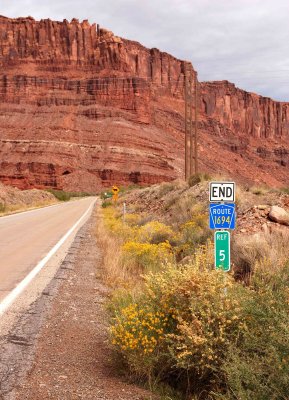
 Federal Route 1694 ends |
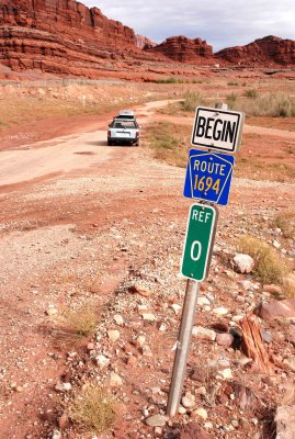 San Juan County Route 142 ends and Federal Route 1694 begins |
| comment | share |
| Dave Beedon | 17-May-2007 07:07 | |
| jCross | 17-May-2007 02:41 | |
| Jason Anderson | 16-May-2007 10:51 | |