


|
|
|
|
|
|
| Dave Beedon | profile | all galleries >> Places >> Utah >> Moab (environs) >> Ida Gulch | tree view | thumbnails | slideshow |
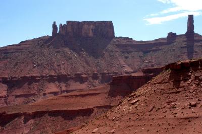
:: Ida Gulch---from Castle Valley Road to south ridge :: |
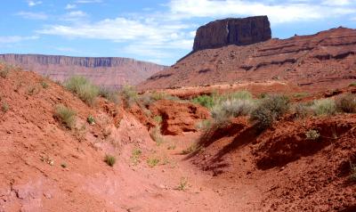
:: Ida Gulch---dry streambeds :: |
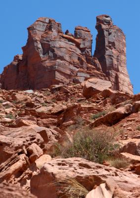
:: Ida Gulch---Ascent to Sister Superior :: |

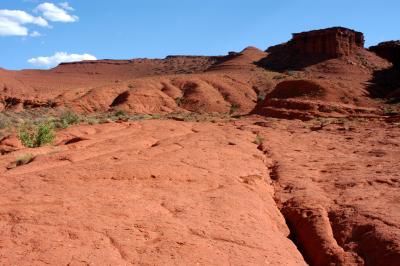
:: Ida Gulch---View from Sister Superior :: |
:: Ida Gulch---Hike Out :: |
| comment | share |