


|
|
|
|
|
|
| Dave Beedon | profile | all galleries >> Places >> Utah >> Moab (environs) >> Castle Valley (introduction) | tree view | thumbnails | slideshow |
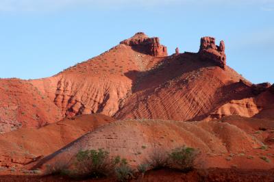 Buttes that are "beauts" |
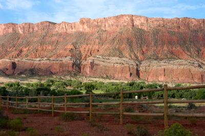 Big wall |
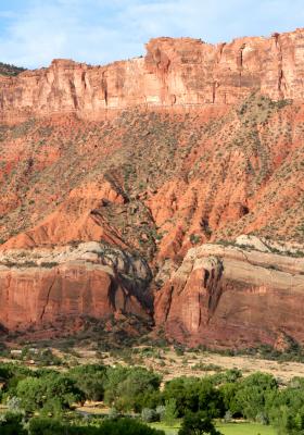 Canyon |
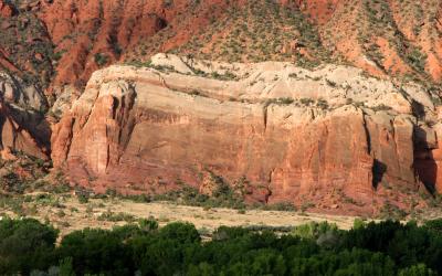 Huge cliff dwarfs a house |
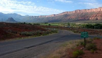 Valley view |
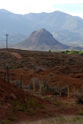 Round Mountain |
| comment | share |