


|
|
|
|
|
|
| Dave Beedon | profile | all galleries >> Places >> Utah >> Moab (environs) >> Negro Bill Canyon ("NBC") | tree view | thumbnails | slideshow |
|
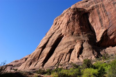
:: Negro Bill Canyon Itself :: |
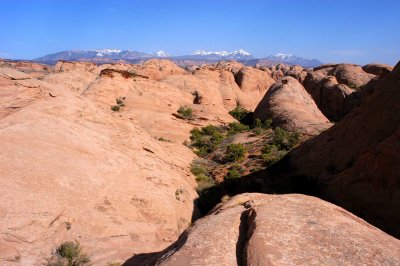
:: NBC Fins :: |
:: Circumnavigation of a Mesa :: |
| comment | share |
| Long Bach Nguyen | 25-Dec-2006 07:20 | |