


|
|
|
|
|
|
| Dave Beedon | profile | all galleries >> Places >> Utah >> Moab (environs) >> Monitor and Merrimac Buttes | tree view | thumbnails | slideshow | map |
|
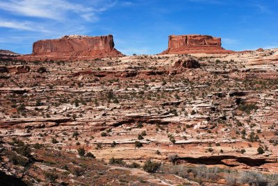 Monitor and Merrimac buttes, taken from Hwy 313 in Sevenmile Canyon |
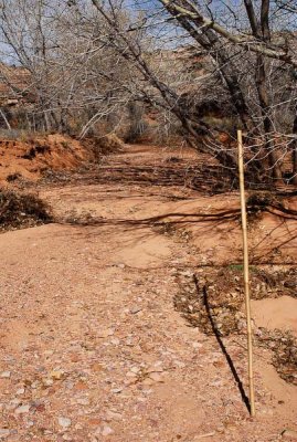 First part of the hike was in this wash, which goes under the highway (see next photo) |
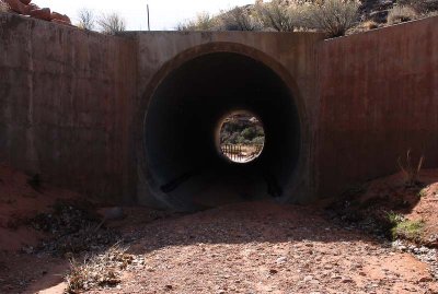 Highway 313---the route to Dead Horse Point State Park---goes over the wash |
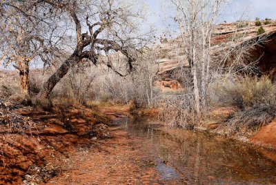 Water in the wash! |
 Hiking out of the wash I encountered the first "step" |
 Highway 313 sits above the wash I just hiked out of |
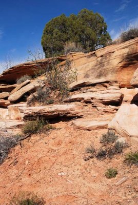
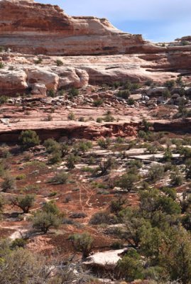
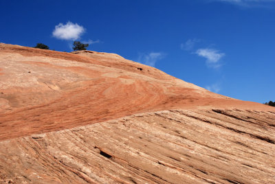
 Rock layers |
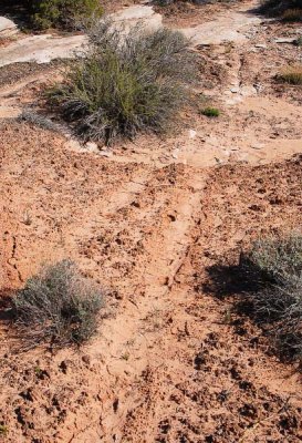
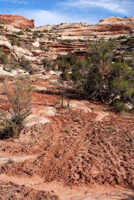 Cryptobiotic soil damaged by motorcycles |
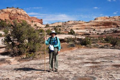 Standing as straight as a bamboo stick |
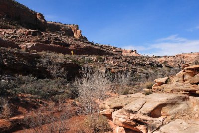
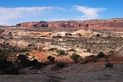
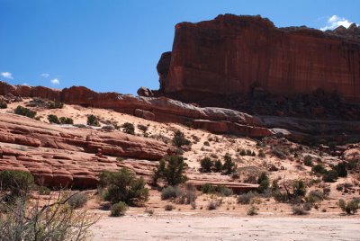
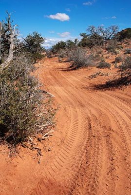
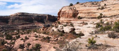 Terrain and road |
 Weird ground of sandstone and cryptobiotic soil |
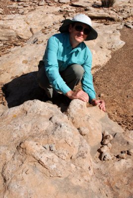 Achieving bliss through firm contact with aura nodules |
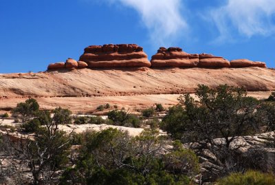
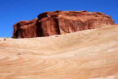
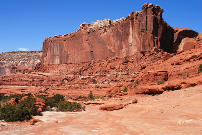
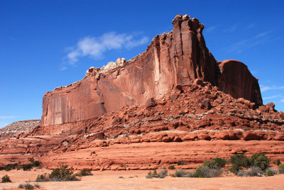
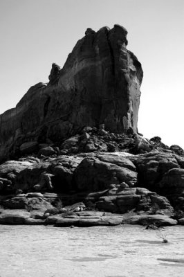
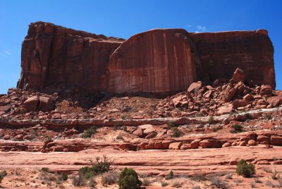
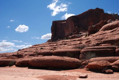
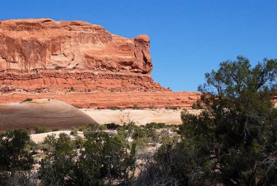
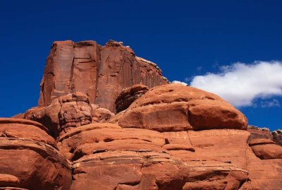
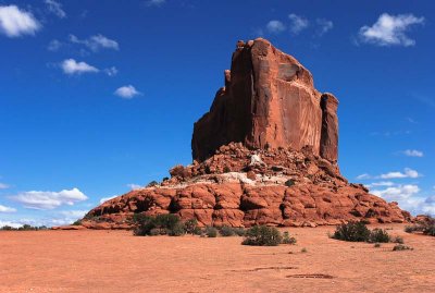
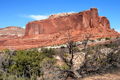 Merrimac Butte |
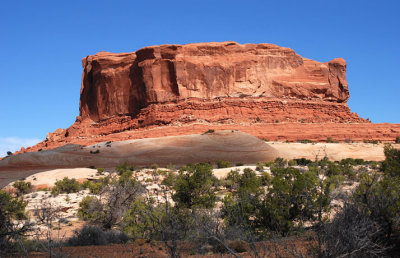 Monitor Butte |
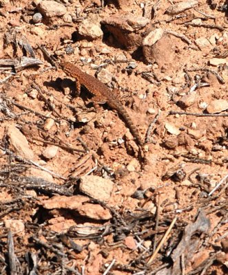 One of a zillion lizards I saw |
 Idiotic motorcyclists have damaged the cryptobiotic crust |
 Who will win this race? |
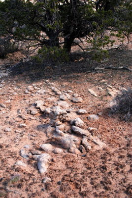
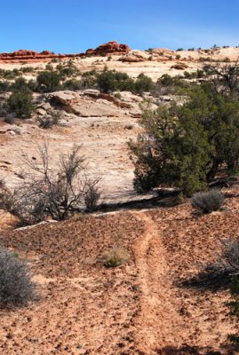 Path through the crypto leads to bedrock |
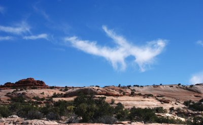 Weird cloud |
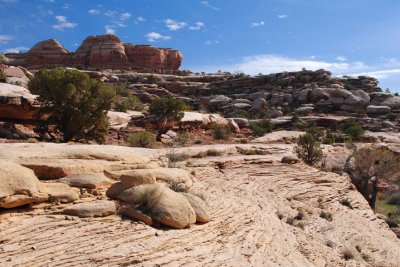
 Layer cake |
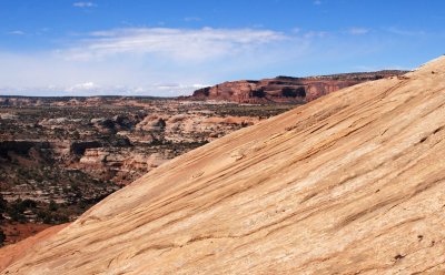
 Colors and lines |
 I think I hear those light-colored hills calling to me... |
 Monitor Butte and solidified sand dunes |
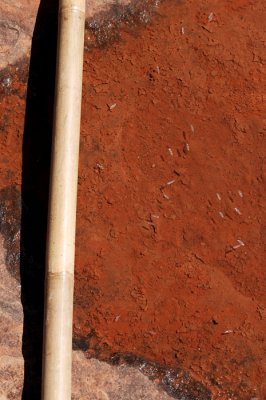
 Rain puddle and moist sand; width of scene is about 24 inches (61cm) |
 Half and half |
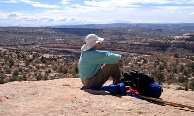 Taking in the view from near Monitor Butte |
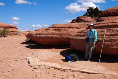
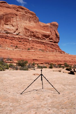 Joe Tripod stretching his legs in front of Monitor Butte |
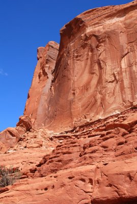 Southwest side of Monitor Butte, taken from the same spot as the previous two photos |
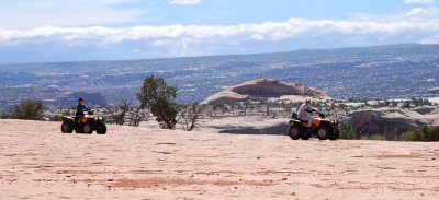
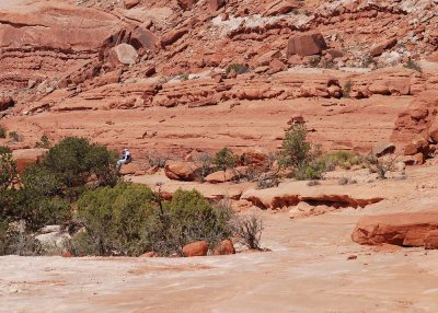
 People in the distance! (Merrimac Butte in the background) |
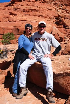 Friendly Floridians far from the flora-filled Everglades |
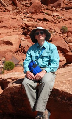 Butte Boy at Monitor Butte |
 Getting closer to Merrimac Butte |
 The Floridians pass me as I approach Merrimac Butte |
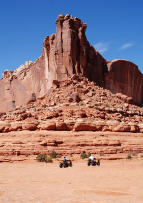 Merrimac Butte towers over the Floridians |
 Insect wings about 1 cm long |
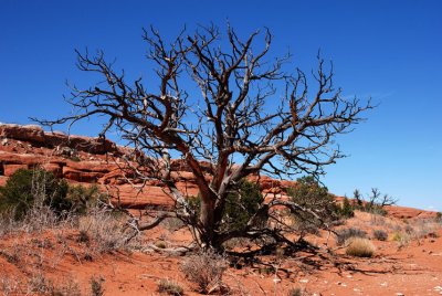 Tree |
 West end of Monitor Butte |
 East face of Merrimac Butte |
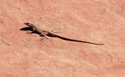 Lizard---one of many seen today |
 Merrimac Butte's "stairs" |
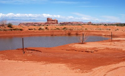 Surprise---a pond (created for grazing cattle?) |
 Sandstone bulbs form a wall not far from the pond of the previous photo |
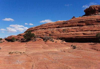
 Very little is level |
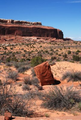 Boulder is a remnant of nearby Merrimac Butte |
 Cryptobiotic crust damaged by motorcycles |
 East end of Monitor Butte |
 People up ahead |
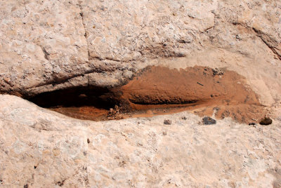
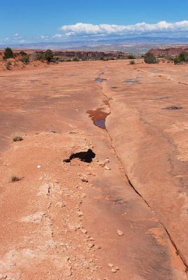 Drainage crack |
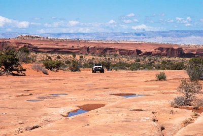 A Jeep approaches |
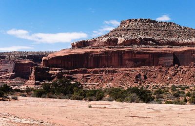 Nearby mesa |
 Untitled |
Marvels of Merrimac |
 Hard rock and soft cloud |
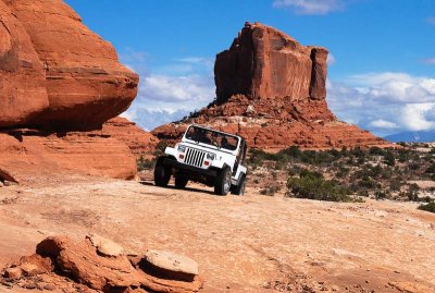 Encounter with a Jeep |
 Top of Merrimac Butte |
 Monitor Butte |
 North side of Monitor Butte |
| comment | share |
| Paolo Peggi (aka Bracciodiferro) | 20-Feb-2014 18:12 | |
| Dave Beedon | 19-Jan-2009 21:25 | |
| Auntie_rain | 19-Jan-2009 20:51 | |
| Dave Beedon | 20-Dec-2007 08:14 | |
| Guest | 04-Sep-2007 16:25 | |