photo sharing and upload picture albums photo forums search pictures popular photos photography help login
Dave Beedon | profile | all galleries >> Places >> Utah >> Moab (environs) >> The Goose Neck tree view | thumbnails | slideshow

4922 Plateau | Arches National Park | Canyonlands National Park | Castle Valley (introduction) | Castle Valley: Round Mountain | Castle Valley: Castleton Tower | Corona Arch | Corona Arch Domes | Day Canyon | Dead Horse Point State Park | The Goose Neck | Ida Gulch | Jackson-Kane plateau | Jeep Arch | Monitor and Merrimac Buttes | Negro Bill Canyon ("NBC") | Other Moab Environs | Poison Spider Mesa: Loop Through the Fins | Poison Spider Mesa: Return to the Maw | Potash Area | Sand Flats | Shafer Trail | Tombstone Plateau | White Rim Trail | Moab: Tilted Hunter-Gatherer Plateau

The Goose Neck

The Goose Neck is a land formation lying inside a long, narrow bend in the Colorado River,
not far from Moab, Utah. It is part of a mind-boggling view from the main overlook in
Dead Horse Point State Park
. Exploring this landscape was the main goal of this trip.
My thanks to Tex's Riverways of Moab, which transported me to and from the Goose Neck with
efficiency; my crazy photo descriptions in the jetboat galleries are for laughs only and
are not meant to denigrate the company's professionalism.

The Goose Neck is at the center of this WikiMapia aerial view.
.
Jetboat ride to the Goose Neck
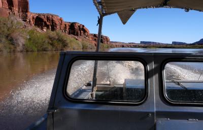
:: Jetboat ride to the Goose Neck 
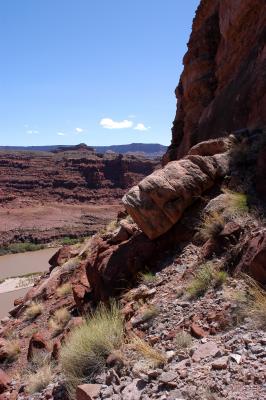
::
Ascent to the Goose Neck's Mesa
:: Ascent to the Goose Neck's Mesa 
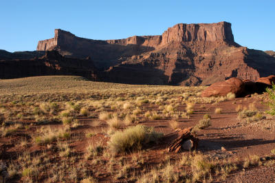
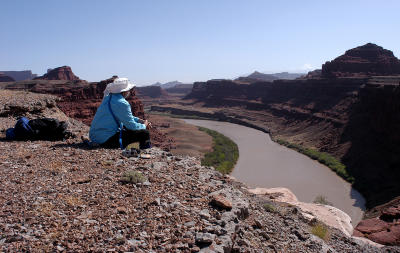
::
Evening Walk on the Goose Neck's Mesa
:: Evening Walk on the Goose Neck's Mesa 
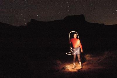
::
Night Shots at Camp on the Goose Neck
:: Night Shots at Camp on the Goose Neck 
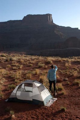
::
Morning Shots in Camp on the Goose Neck
:: Morning Shots in Camp on the Goose Neck ::
Morning Mesa Hike on the Goose Neck
:: Morning Mesa Hike on the Goose Neck ::
Descent from the Mesa to the River
:: Descent from the Mesa to the River 
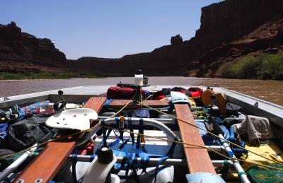
::
Jetboat Ride back to Potash
:: Jetboat Ride back to Potash ::