


|
|
|
|
|
|
| Dave Beedon | profile | all galleries >> Places >> Utah >> Moab (environs) >> Negro Bill Canyon ("NBC") >> Circumnavigation of a Mesa | tree view | thumbnails | slideshow | map |
|
 2007-09-22: Something tells me I've been here before... |
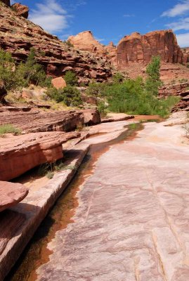 Downstream view of the previous photo |
![Rock something (bamboo stick is six feet [1.8m] long)](https://a4.pbase.com/g6/93/584893/3/86339155.KuUATGwN.jpg) Rock "something" (bamboo stick is six feet [1.8m] long) |
![Rock something (bamboo stick is six feet [1.8m] long)](https://a4.pbase.com/g6/93/584893/3/86339156.jglfKMMX.jpg) Rock "something" (bamboo stick is six feet [1.8m] long) |
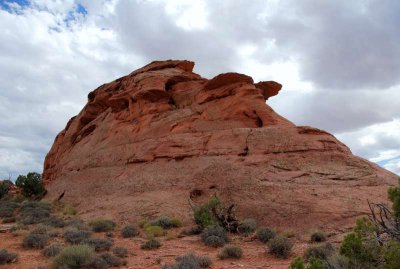
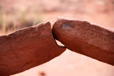 Rock "something" |
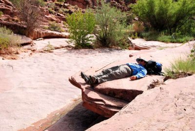
 Psychic transmitter 1: in use by a hiker |
 Fins of a sandstone Cadillac |
 Surrounded by canyons and fins |
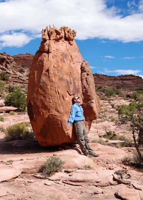
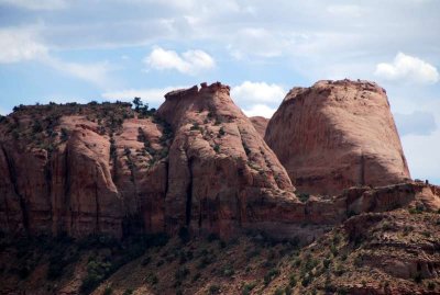
 Battleship Galactica atop the mesa |
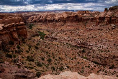
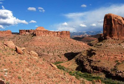 Circumnavigated mesa, from Negro Bill Canyon |
 Negro Bill Canyon |
| comment | share |