


|
|
|
|
|
|
| Dave Beedon | profile | all galleries >> Places >> Utah >> Moab (environs) >> Ida Gulch >> Ida Gulch---from Castle Valley Road to south ridge | tree view | thumbnails | slideshow |
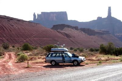 Car at trailhead |
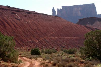 Trail ascending slope |
 The photographer |
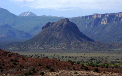 Round Mountain |
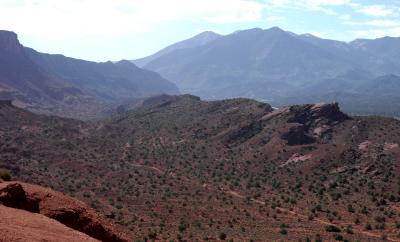
 Porcupine Rim |
 Parriott Mesa |
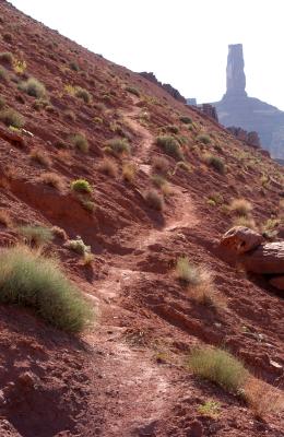 On the trail |
 Dirt road |
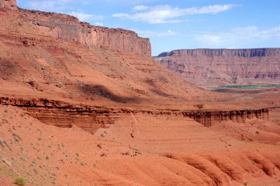
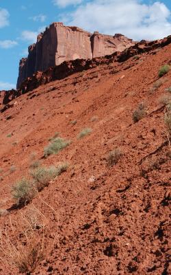 Crypto slope and mesa |
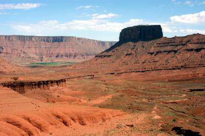
 Buttes |
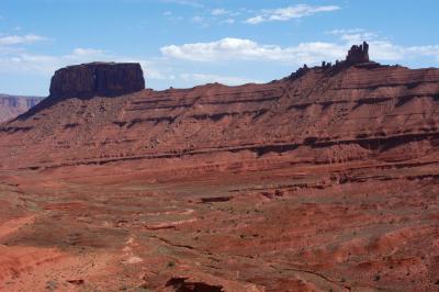
 Parriott Mesa |
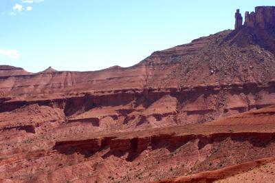
 Parriott Mesa |
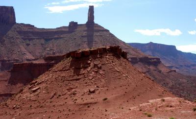
 The Convent |
 The Convent and Sister Superior |
 Sister Superior |
 Priest |
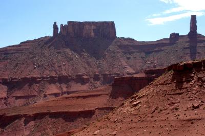 Priest & Nuns and Castle Rock |
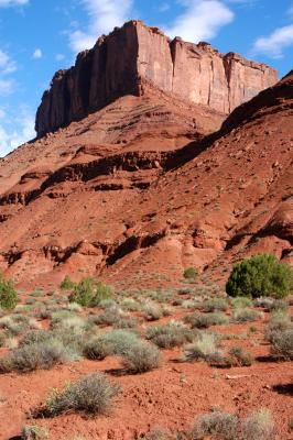
 Castle Rock |
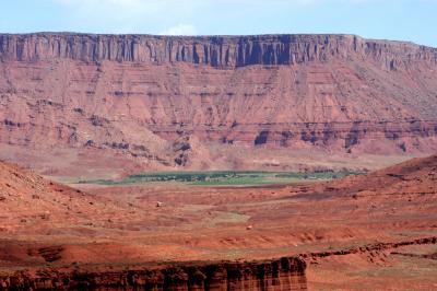 River greenery |
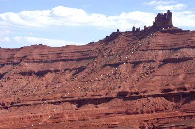 Hiking route (white dots) |
| comment | share |
| Dave Beedon | 09-Dec-2005 08:09 | |
| Guest | 09-Dec-2005 03:37 | |
| Guest | 06-Dec-2005 05:48 | |