


|
|
|
|
|
|
| Dave Beedon | profile | all galleries >> Places >> Utah >> Moab (environs) >> Ida Gulch >> Ida Gulch---Ascent to Sister Superior | tree view | thumbnails | slideshow |
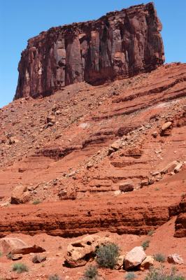
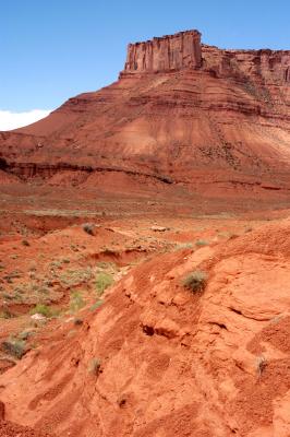 Parriott Mesa |
 Sister Superior |
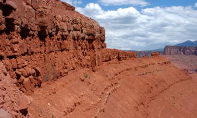
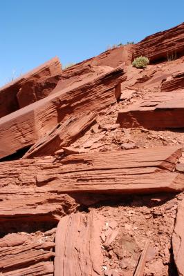 Shelf rocks |
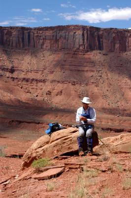 2004-07-10: Note Boy at work |
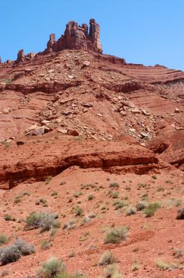
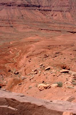
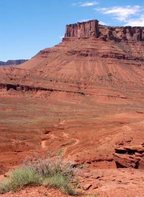 Parriott Mesa and valley |
 The Convent |
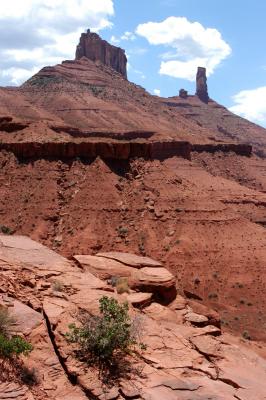
 Sister Superior |
 Priest and Nuns |
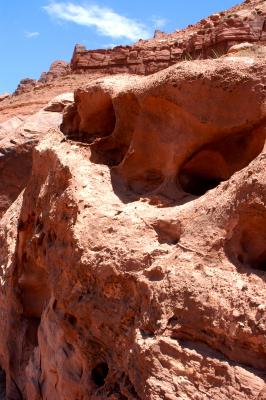 Erosion of rock |
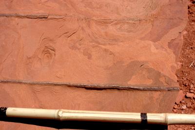 Vein |
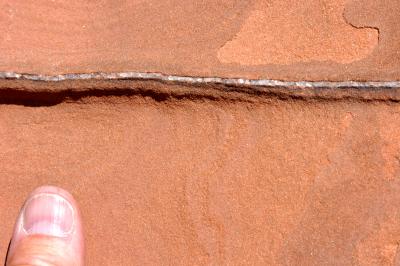 Vain thumb at vein |
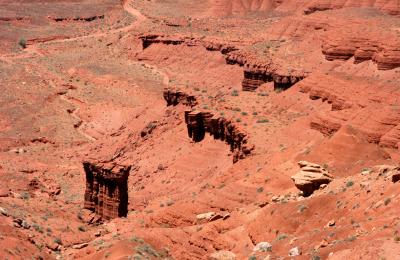
 Plateau trail |
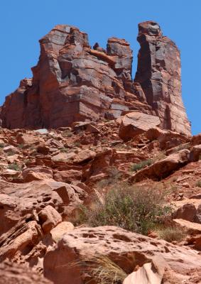
 Tower |
 Wall |
 Sister Superior |
| comment | share |
| Guest | 02-Jan-2006 09:41 | |