


|
|
|
|
|
|
| Dave Beedon | profile | all galleries >> Places >> Utah >> Moab (environs) >> Ida Gulch >> Ida Gulch---dry streambeds | tree view | thumbnails | slideshow |
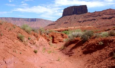 The Convent |
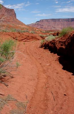
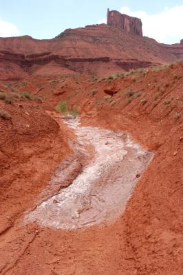
 Curving streambed |
 ATV tracks |
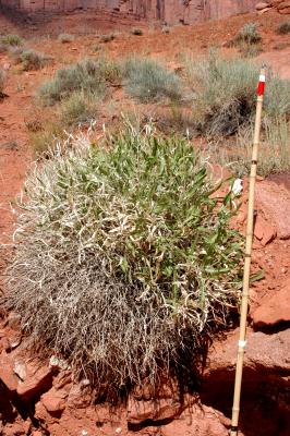
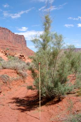 Plant |
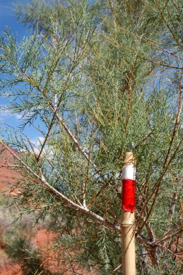 Plant, close |
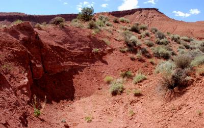
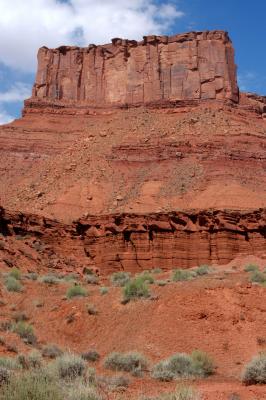 Parriott Mesa and mini-landslide |
 Cryptobiotic soil 1 |
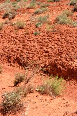 Cryptobiotic soil 2 |
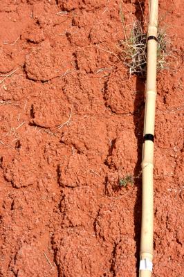
 Stream stain |
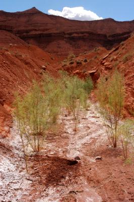 Plants and signs of digging |
 Digging for water |
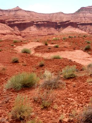 Island in a sea |
 Plant |
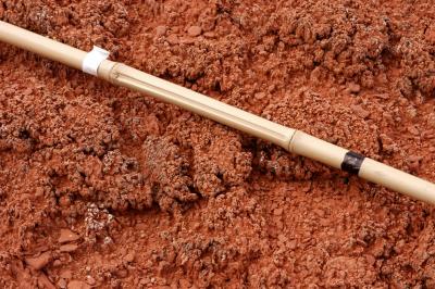 Cryptobiotic soil |
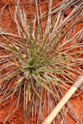 Spiky-leafed plant |
| comment | share |
| Dave Beedon | 07-Dec-2005 20:55 | |
| John Cooper | 07-Dec-2005 08:56 | |