


|
|
|
|
|
|
| Dave Beedon | profile | all galleries >> Places >> Utah >> Moab (environs) >> Jackson Butte >> Jackson Butte via Jackson's Trail | tree view | thumbnails | slideshow | map |
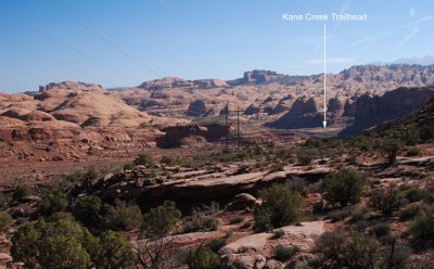
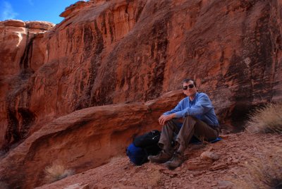
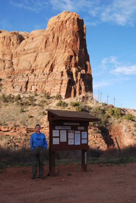 Self-portrait at the Kane Creek Trailhead (start of Jackson's Trail) |
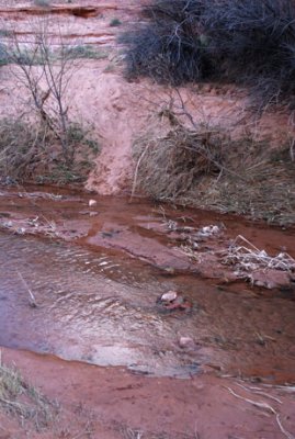 Stepping stones facilitate a fording of Kane Creek |
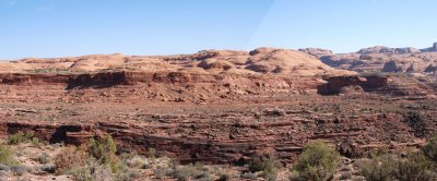
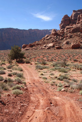
 Trail has been damaged by slumping on the right |
 Trail follows the shelf next to the creek; horizontal white line appears in next photo close up |
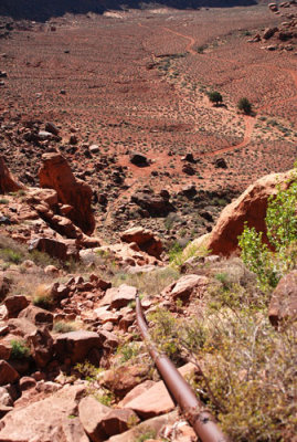
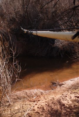 Natural gas pipeline suspended above Kane Creek |
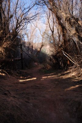 Tamarisk jungle starts to open up |
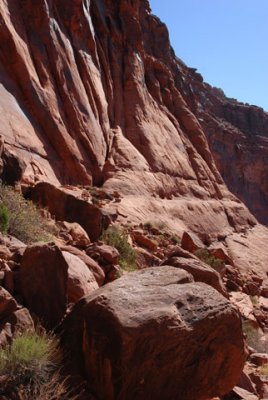
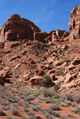
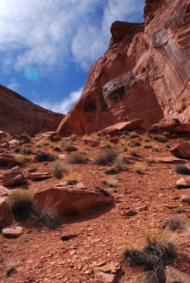
 Buttress visible when exiting the tamarisk jungle |
![This is one way to install a pipeline in the desert (bamboo stick is 6 feet [1.8m] long)](https://a4.pbase.com/g6/93/584893/3/87359954.TS6svz9n.jpg) This is one way to install a pipeline in the desert (bamboo stick is 6 feet [1.8m] long) |
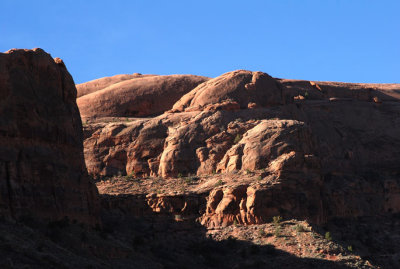
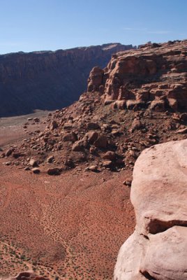
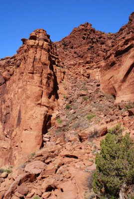
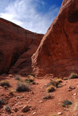
 The long cliff is called Wall Street and is popular with rock climbers |
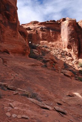
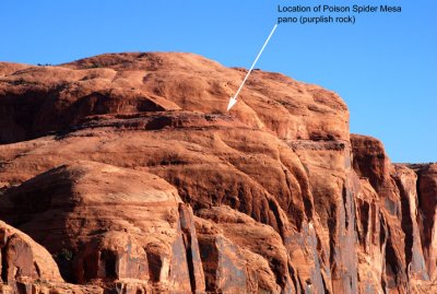 Location of panorama shot (previous photo shows the context) |
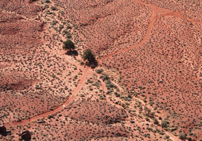
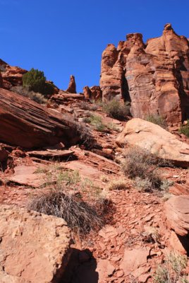
 Not a single straight line to be found... |
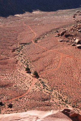
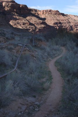 The pipeline follows the trail for a while; trail goes into sunlit area at rear |
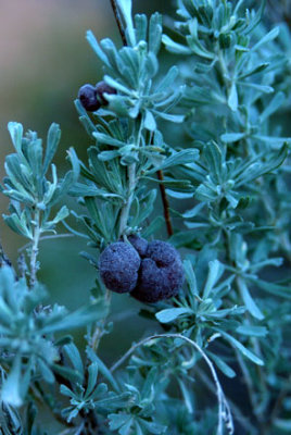 Big sagebrush (Artemisia tridentata); the purple bulbs might not be part of the plant |
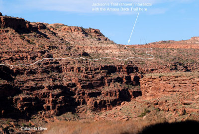 Route of Jackson's Trail on its way to meet the Amasa Back Trail; Jackson Butte is behind the ridge at left |
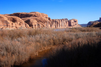
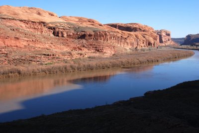 Colorado River and (on far side) the trailhead for the Poison Spider Mesa Trail |
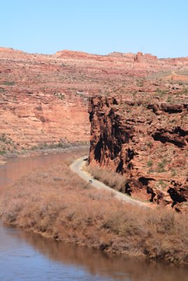 Colorado River and Potash Road |
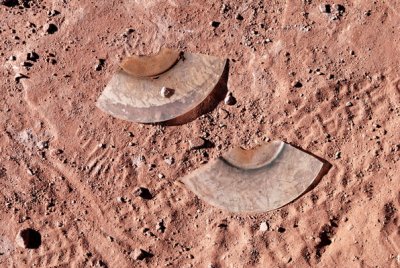 It's a Roy Rogers/Dale Evans CD featuring "Happy Trails to You" |
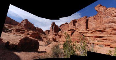
 Panorama of Poison Spider Mesa from the south |
 View back to the starting point (Kane Creek Trailhead) |
 Trail identified at junction with Amasa Back Trail |
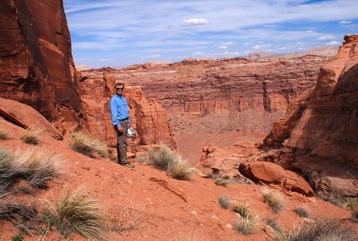
 Looking down through Jackson Hole at the potash mine in the distance |
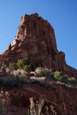
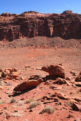
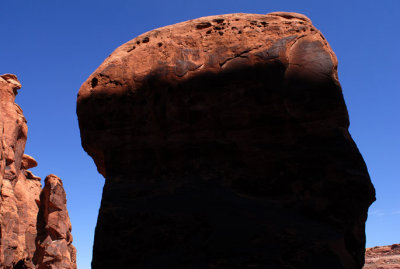
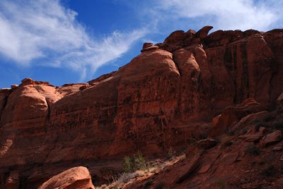
 First view of crumbling Jackson Butte |
 Dirt road in Jackson Hole leads at upper right to Jackson Butte |
 Close-up of road in Jackson Hole (note the white dot in road) |
 Trail (Jackson's Ladder) and pipeline descend to Jackson Hole |
 Wall of Jackson Hole, the rincon surrounding Jackson Butte |
 Jackson's Ladder, the steep trail descending into Jackson Hole |
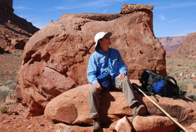 Admiring the canyon wall |
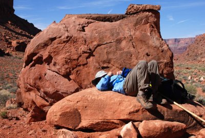 Taking a break from the hard job of PBase exploration |
 Follow the red dirt road to Jackson Butte (upper right) |
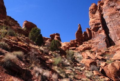
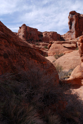
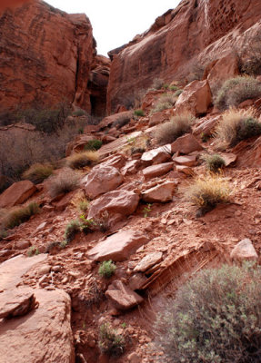
 The route into the innards of Jackson Butte |
 Once on the slope, the view looks like this |
 Looking back down into Jackson Hole |
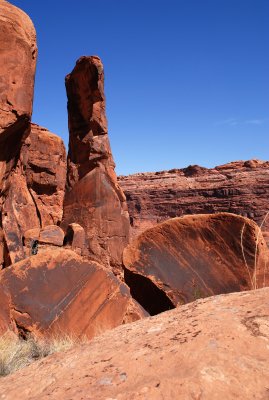
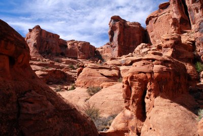
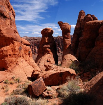
 The route up goes to the left of the two short towers just left of center |
 Bold towers: my route goes around the left side of the left tower |
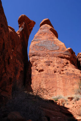
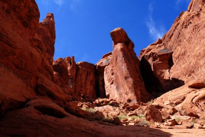
 Ugly but beautiful |
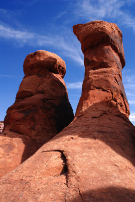
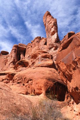
 Manly tower |
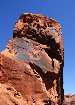
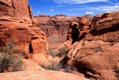
 Hammer head |
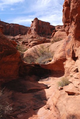
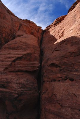
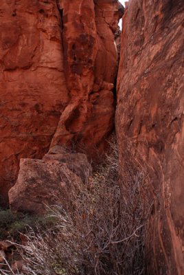
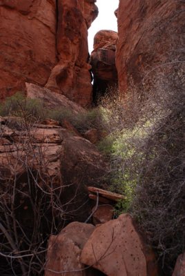
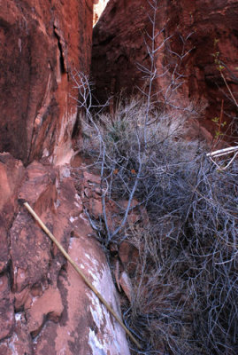 Corridor of opportunity |
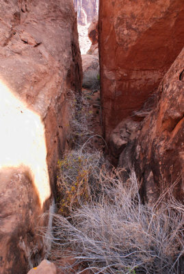
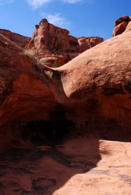
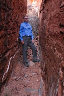 I felt like a slice of meat in a sandstone sandwich, and I relished it |
 2007-03-20: Now I'm beyond the "vine that ruined my day" |
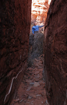
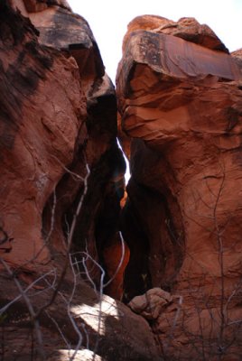
 Sandwich corridor through which I just came |
 The sandwich corridor is just out of view to the right |
 The terrain ahead looks inviting; how far will I be able to go? |
 Amphitheater opens up a bit as I proceed |
 Another obstacle? (a pour-off) |
 Working on a solution to the problem of an obstacle |
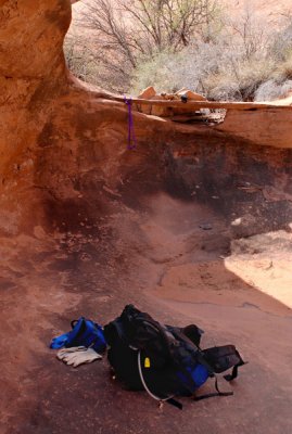
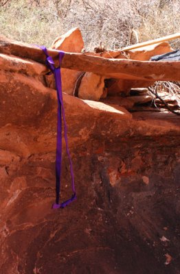 Loop of nylon webbing acting as a step |
 The route goes up to the right, then cuts left just below the "squarish" shadow |
 No way to get up this second pour-off (had to go around) |
 Where I have come from, taken from above the second pour-off |
 Interesting area, but exploring it will have to wait for another visit |
 Where I have come from (again) |
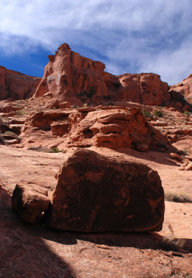 Boulder and delights beyond |
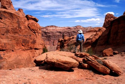 Looking back at Jackson Hole from inside the butte's amphitheater |
 From the boulder of the previous picture, this is the view up into the amphitheater |
 Lip of the amphitheater's south wall |
 The top of this slope might be as far as I can go---is there a scrambling route to the top? |
 Just around the corner is my route--or not |
 Bummer: the route to the top is a climb up a crack |
 Close to the high point of the first area of exploration |
 Resting at the high point of this part of the exploration |
 Second goal of the trip: area to left of the white dot |
 Straight ahead: mysterious alcove |
 Above the dirt slope, the view was not encouraging |
 Not exactly a cakewalk |
 The alcove at last! |
| comment | share |