photo sharing and upload picture albums photo forums search pictures popular photos photography help login
Type your message and click Add Comment
It is best to login or register first but you may post as a guest.
Enter an optional name and contact email address. Name
Name Email
help private comment
Dave Beedon | profile | all galleries >> Places >> Utah >> Moab (environs) >> White Rim Trail tree view | thumbnails | slideshow

4922 Plateau | Arches National Park | Canyonlands National Park | Castle Valley (introduction) | Castle Valley: Round Mountain | Castle Valley: Castleton Tower | Corona Arch | Corona Arch Domes | Day Canyon | Dead Horse Point State Park | The Goose Neck | Ida Gulch | Jackson-Kane plateau | Jeep Arch | Monitor and Merrimac Buttes | Negro Bill Canyon ("NBC") | Other Moab Environs | Poison Spider Mesa: Loop Through the Fins | Poison Spider Mesa: Return to the Maw | Potash Area | Sand Flats | Shafer Trail | Tombstone Plateau | White Rim Trail | Moab: Tilted Hunter-Gatherer Plateau

White Rim Trail

The White Rim Trail is a rough dirt road about 100 miles (160km) long in Canyonlands National
Park. It makes a big loop on a shelf of whitish, erosion-resistant rock called "white rim
sandstone" (duh!). Its east end connects with Shafer Trail in Shafer Canyon.

.
White Rim Trail: Miscellaneous
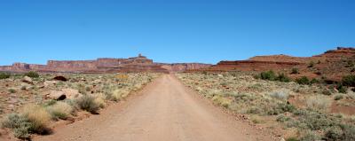
:: White Rim Trail: Miscellaneous 
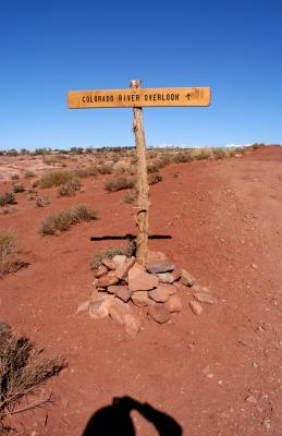
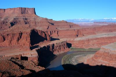
::
White Rim Trail: Colorado River Overlook
:: White Rim Trail: Colorado River Overlook ::
White Rim Trail: Goose Neck Viewpoint
:: White Rim Trail: Goose Neck Viewpoint ::