photo sharing and upload picture albums photo forums search pictures popular photos photography help login
Type your message and click Add Comment
It is best to login or register first but you may post as a guest.
Enter an optional name and contact email address. Name
Name Email
help private comment
Dave Beedon | profile | all galleries >> Places >> Utah >> Moab (environs) >> Sand Flats tree view | thumbnails | slideshow | map

4922 Plateau | Arches National Park | Canyonlands National Park | Castle Valley (introduction) | Castle Valley: Round Mountain | Castle Valley: Castleton Tower | Corona Arch | Corona Arch Domes | Day Canyon | Dead Horse Point State Park | The Goose Neck | Ida Gulch | Jackson-Kane plateau | Jeep Arch | Monitor and Merrimac Buttes | Negro Bill Canyon ("NBC") | Other Moab Environs | Poison Spider Mesa: Loop Through the Fins | Poison Spider Mesa: Return to the Maw | Potash Area | Sand Flats | Shafer Trail | Tombstone Plateau | White Rim Trail | Moab: Tilted Hunter-Gatherer Plateau

Sand Flats


About two miles east of downtown Moab is Sand Flats Recreation Area (SFRA), a wonderland of sandstone fins and domes, desert prairie, and canyons. It is the home of the world-famous Slickrock Bike Trail and of four-wheel-drive trails that take drivers through sand and over fins. Canyons form much of its boundaries.

It has over 100 primitive campsites in eight or nine “clusters.” The only camping amenities are vault toilets, most of which have no roof, picnic tables, and fire rings. There are no hook-ups and no water. Although most users of SFRA ride mountain bikes or drive 4x4 vehicles, hikers like me (few in number in my experience) find it a wonderful place to explore on foot.

Newest uploads are at the BOTTOM of the gallery


Looking for Morning Glory Natural Bridge
:: Looking for Morning Glory Natural Bridge ::
Southeastern Fins
:: Southeastern Fins ::
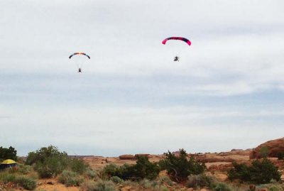
Flight at Sand Flats
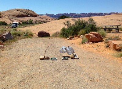
Holding onto a campsite
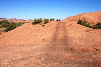
Looking northwest toward Upper Negro Bill Canyon
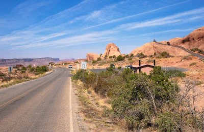
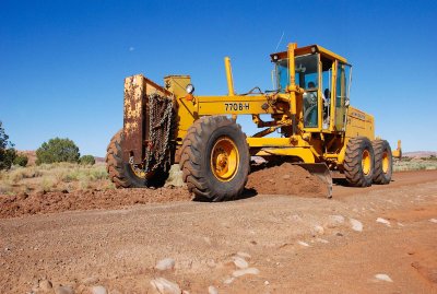
Mooned while grading... 20110620_7298