


|
|
|
|
|
|
| Don | profile | all galleries >> #more of north Queensland# >> # Kirrama Range # | tree view | thumbnails | slideshow |
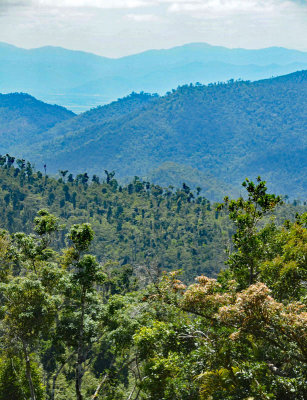
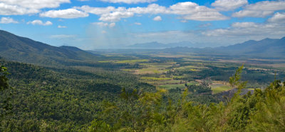 Kirrama Range view |
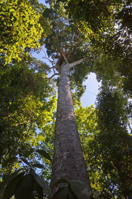
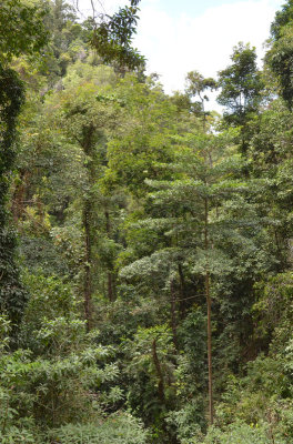 Kirrama Range rainforest |
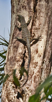 Spotted Tree-monitor (Varanus scalaris) |
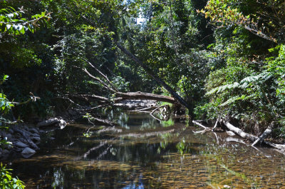 Yuccabine Creek |
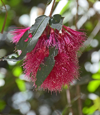 Powderpuff Lillypilly (Syzygium wilsonii) |
 cyclone damaged rainforest |
 Brown Walnut (Endiandra montana) |
| comment |
| Paolo Peggi (aka Bracciodiferro) | 07-Nov-2017 19:37 | |