


|
|
|
|
|
|
| Don | profile | all galleries >> #more of north Queensland# >> #Murray River & Falls# | tree view | thumbnails | slideshow |
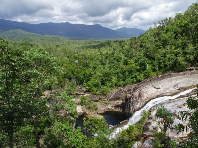 Murray Falls |
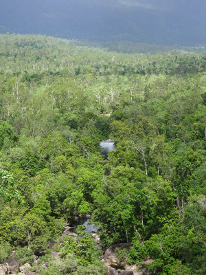
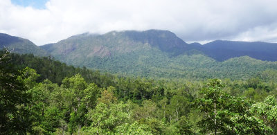 Girramay National Park landscape |
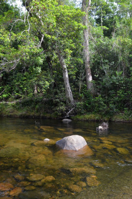
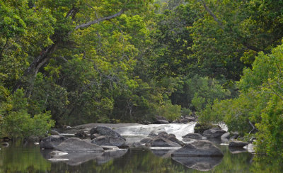
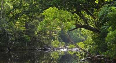 Murray River |
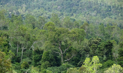
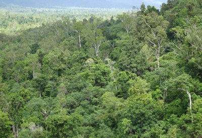 Girramay National Park forestscape |
 Murray River |
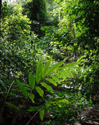 forest gully with native ginger |
 Murray River landscape |
 Girramay National Park forestscape |
 Murray River |
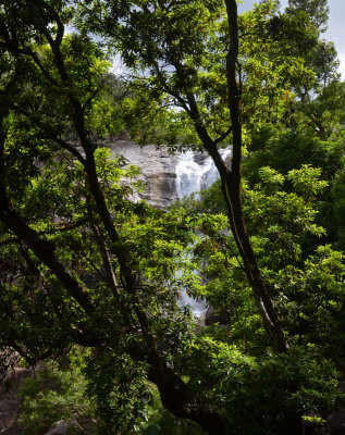 Murray Falls |
| comment |
| carlogalliani | 24-Jan-2018 08:11 | |
| Tom Murray | 06-Jan-2018 00:36 | |
| George McCarten | 28-Dec-2017 10:10 | |