


|
|
|
|
|
|
| Don | profile | all galleries >> #more of north Queensland# >> # Eubenangee Swamp # | tree view | thumbnails | slideshow |
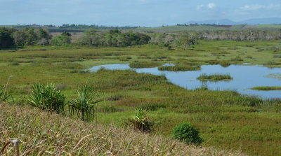
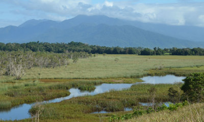
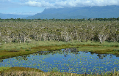 Eubenangee Swamp |
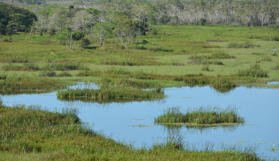 Eubenangee Swamp |
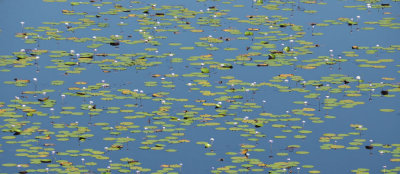 Giant Water-lily |
 life on the edge |
 Eubenangee Swamp |
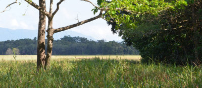
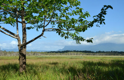
 overshadowed |
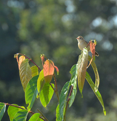 Golden-headed Cisticola |
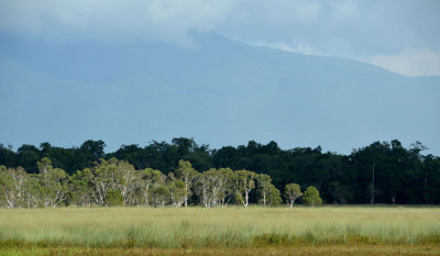
 Eubenangee Swamp |
 Eubenangee Swamp |
| comment |