


|
|
|
|
|
|
| Dave Beedon | profile | all galleries >> Places >> Utah >> San Rafael Reef | tree view | thumbnails | slideshow | map |
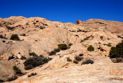
 Starting point just north of Interstate 70 |
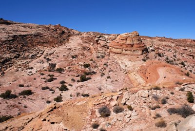
My route went from the white dot (at right) to the black dot (at left) |
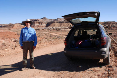
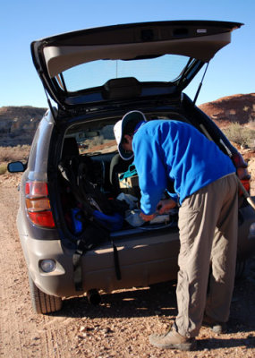 The preparations are never-ending |
 Looking back at where I came from near start of hike |
 Crossroads |
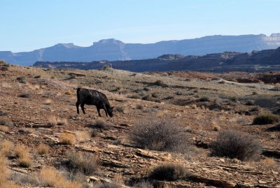 Exotic Utah wildlife |
 Interstate 70, with Shadscale Mesa behind it |
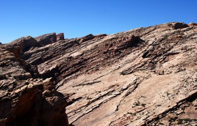
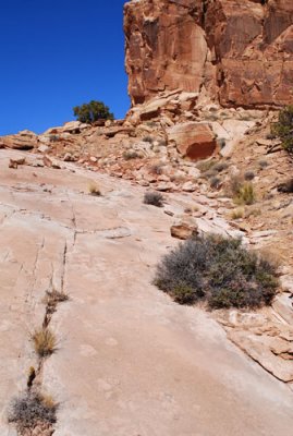
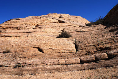
 Surface of thin rock plates |
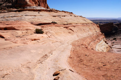
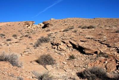 Low slope (previous photo shows close-up of the ground) |
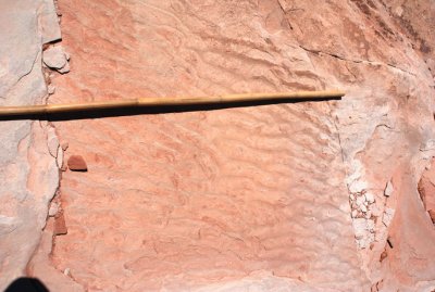
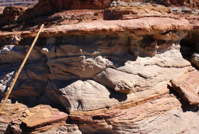
 Ripples: bamboo is about four feet (1.2m) long |
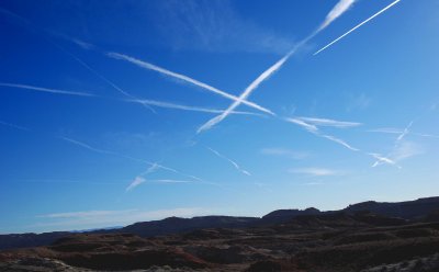
 Weird message above Interstate 70 |
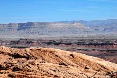
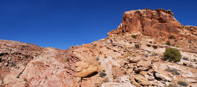
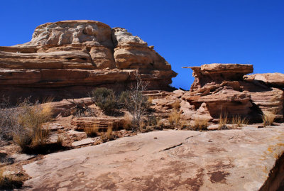
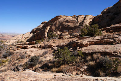
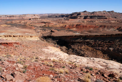
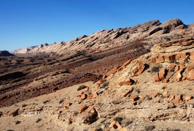 San Rafael Reef, looking south toward Interstate-70 |
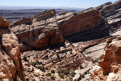
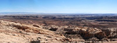
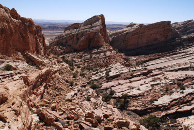
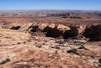
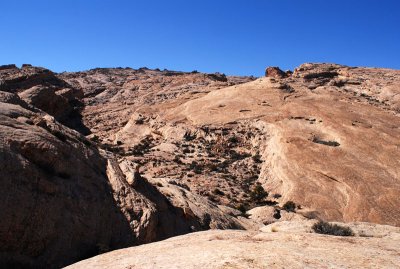
 Lower reef topography north of the Interstate |
 Dabbling in Oneness |
 A few minutes ago I was over there on the high point |
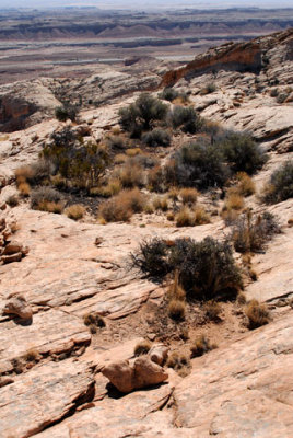
 An island of cryptobiotic soil in a sea of sandstone |
 The route ahead: rock, rock, and more rock |
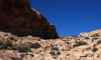
 Shadowy cliff is about 50 feet (15m) tall |
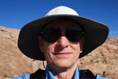 That barely-controlled smirk is a sign of sandstone intoxication |
 Not quite a rainbow, but nice-looking anyway |
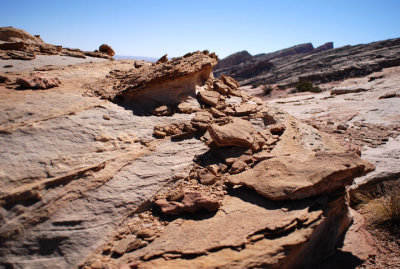
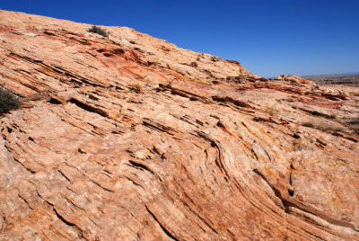
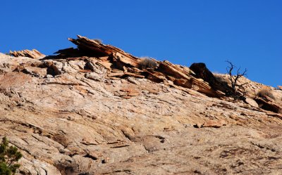 Flakes |
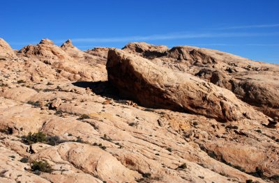
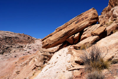
 Humongous slabs |
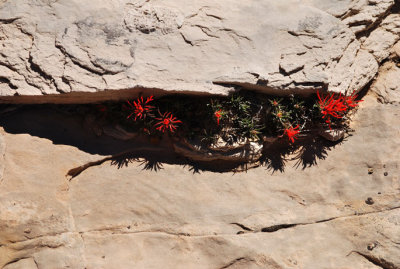 Paintbrush in a crack |
 Looking southeast at Interstate 70 and the La Sal Mountains (about 50 miles away) |
Four-image panorama (my route followed the base of the shadowy cliff to the skyline) |
![Tracks of a ??? (bamboo stick is about one inch [2.5cm] wide)](https://a4.pbase.com/g6/93/584893/3/83491929.3czBAPSB.jpg) Tracks of a ??? (bamboo stick is about one inch [2.5cm] wide) |
 I descended the gentle rock gradient at right and walked to this spot |
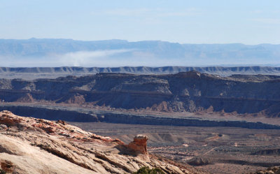 Smoke plume |
 I followed this rampart to its upper end |
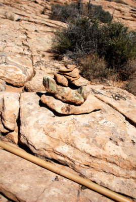 This cairn shows that others have preceded me |
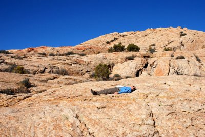
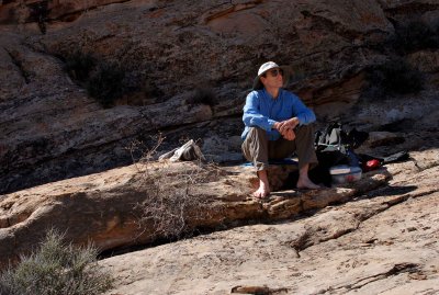 2007-03-17: First break: bare feet on rock |
 Resting in the reef |
 Mountain mahogany above and Mormon tea below |
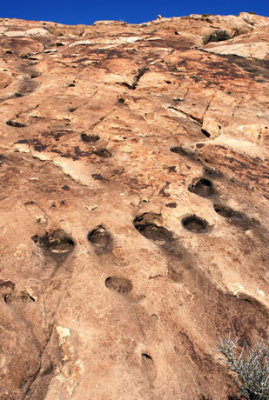 Holes in the rock |
Looking back at terrain I have hiked through |
 Survey post installed near a precipice |
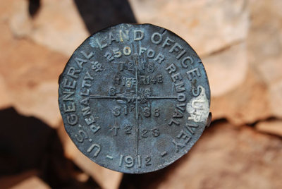 Survey post marker, installed in 1912, showing its position in the township-and-range system |
 "Albert Pryne" cut into the steel survey marker post |
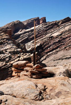 Survey post installed near a precipice (just behind the rocks); height of bamboo is 6 feet (1.8m) |
 View of Book Cliffs from the survey marker |
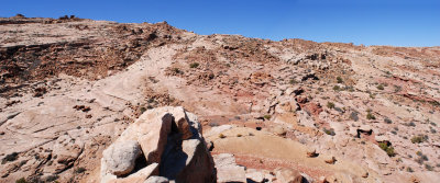
 Terrain "below and above" |
 These prows are hiking dead-ends, making route-finding a challenge |
 Disorganized rocks---what an annoyance (they should be sorted and aligned) |
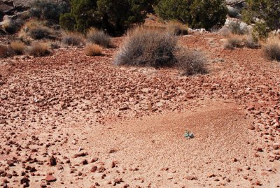
 The reef is not made entirely of rock |
 My route (upper right) followed the the light shelf behind the green bush all the way to the skyline |
![Rock bridge supporting a bamboo hiking stick (stick is 6 feet [1.8m] long)](https://a4.pbase.com/g3/93/584893/3/87559994.K49JSpF7.jpg) Rock bridge supporting a bamboo hiking stick (stick is 6 feet [1.8m] long) |
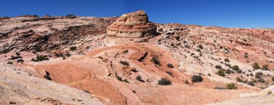
100-degree panorama made from eight images |
 Odd arrangement of stones, the largest of which (bottom left) is about 3 inches (7.5cm) tall |
 Another view of the rock bridge |
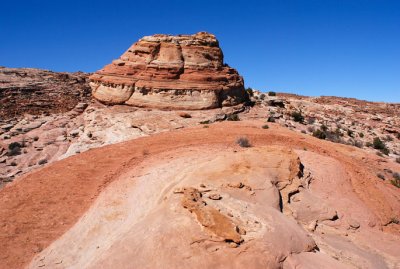
 Panorama |
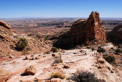
 Where I'm going |
 Petrified ripples; bamboo is one inch (2.5cm) thick |
 Hanging rock |
 I have just come up the bench at far left, going above the tilted boulder |
 End of hike is in view (white dot on rock below white dot in sky) |
 Down this "finger" to base of hump, then around the right side on shelf |
 Sandstone cross-bedding; bamboo is one inch (2.5cm) thick |
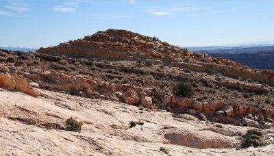
 Getting closer to the hump |
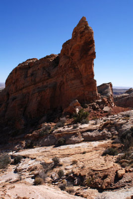
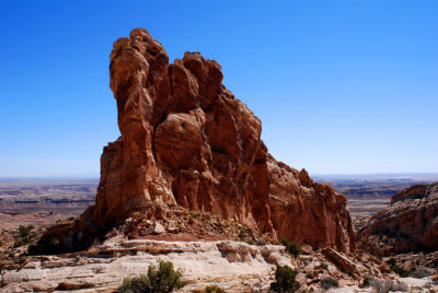 Reef prow (posted out of sequence--should be higher in gallery) |
 Over the slab, between the rocks, and up a shelf going around the hump |
 My turn-around point (a dead end)---looking at the top rim of the reef |
 My turn-around point (a dead end)---looking at the route I took to get here |
 Steps to success (route to the rim) |
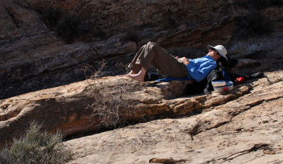
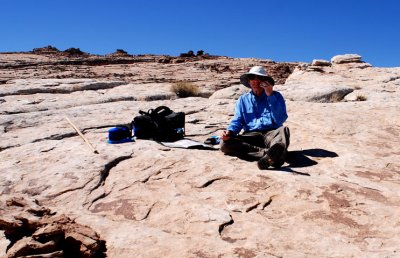
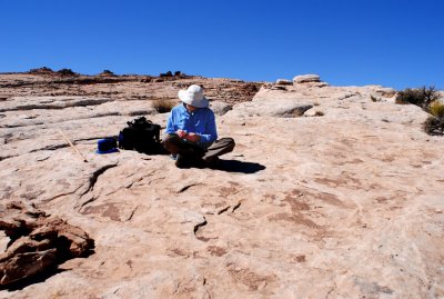 Making notes about the hike |
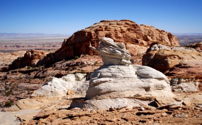
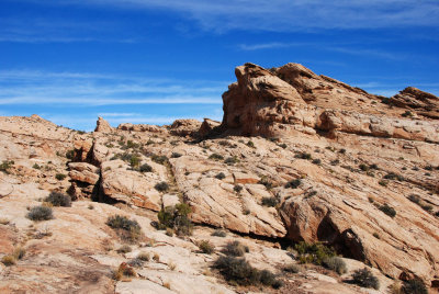
 Odd geology |
 Talking to my wife via cell phone before heading down (thank you, Verizon) |
 More odd geology: white "rock" is about four feet (1.2m) tall |
 Layers, close and distant |
 Layers, rounded |
 Heading down to the prow |
 Near base of the prow |
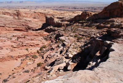
 Valley which I descended |
![Varnish (bamboo stick is six feet [1.8m] long)](https://a4.pbase.com/g3/93/584893/3/89904554.neM1tcB0.jpg) Varnish (bamboo stick is six feet [1.8m] long) |
 Route: straight down to the shadows, then left to lower white dot, then up to other white dot |
 Bumps: middle bump is four inches (10cm) tall |
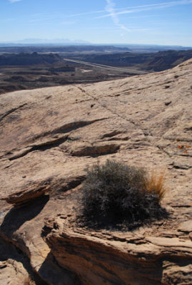
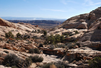
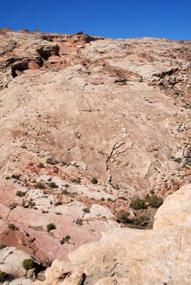
 Landscape of sandstone and bushes |
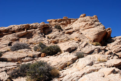
 Ascending this slope was a pleasant zigzag |
 I descended from the upper right portion of this scene |
 Disturbance |
 Descend into the canyon to level ground |
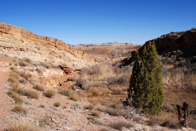 In the stream canyon |
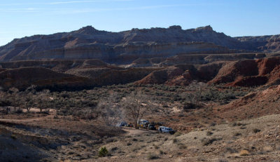
 Cattle |
 End of first hike in the reef |
 0831...View westward from the rim of San Rafael Reef |
 San Rafael Reef, just north of Black Dragon Canyon |
| comment | share |
| Lee G | 21-Dec-2007 17:31 | |
| Hans Chr. Sřrensen | 03-Aug-2007 09:16 | |
| Dave Beedon | 12-Jul-2007 00:06 | |
| exzim | 11-Jul-2007 22:42 | |