


|
|
|
|
|
|
| Dave Beedon | profile | all galleries >> Places >> Utah >> US 6 Corridor | tree view | thumbnails | slideshow | map |
|
 The Green Weenie, Swell, and Dennis Udink at Woodside... 20140510_0870 |
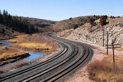 Kurves at Kyune |
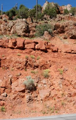 Road cut |
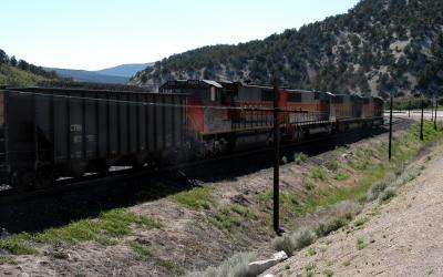
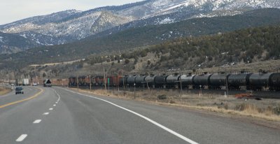
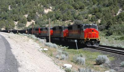 Coal train |
 Westbound coal train |
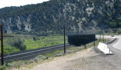 Brake smoke |
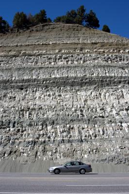 Road cut |
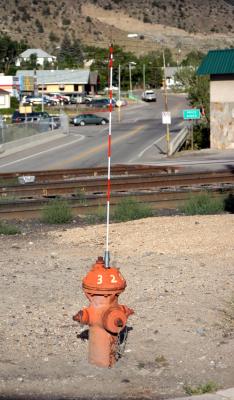 Marker on fire hydrant |
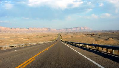 U.S. 6 landscape |
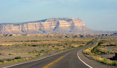 Mt. Elliott |
 Seven locomotives! |
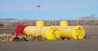 Kilroy was here |
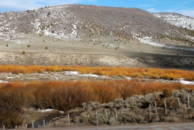 Vegetation (photographed at 65 mph) |
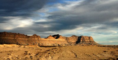 Book Cliffs northwest of Green River, Utah (shot at 65mph) |
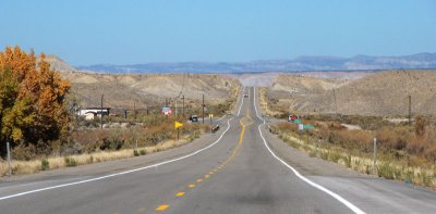 Looking north on US 6 at Woodside, Utah (site of a closed gas station) |
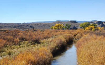 Price River at Woodside, Utah |
 Tucker Rest Area---Gone but not forgotten |
| comment | share |