photo sharing and upload picture albums photo forums search pictures popular photos photography help login
Dave Beedon | profile | all galleries >> Places >> Utah >> Moab (town) tree view | thumbnails | slideshow

Arches National Park | Bingham Canyon Copper Mine | Blue Castle Canyon | Dead Horse Point State Park | Dewey Bridge | Utah: I-70 | Lakeside | Lucin | Utah: Miscellaneous Photos | Moab (town) | Moab (environs) | Salt Lake City (miscellaneous) | Salt Lake City (Red Butte Garden) | San Rafael Reef | Spiral Jetty | Sun Tunnels (Celestial Art in the Utah Desert) | Timpie: Abandoned Truck Stop | US 6 Corridor | Valley of the Gods | Wendover Area

Moab (town)


(SCROLL DOWN FOR THUMBNAILS LEADING TO GALLERIES)

Moab is my home away from home. This small town in southeastern Utah is surrounded by a collection of bizarre sandstone landscapes that boggle my mind. Geologic forces over eons have created sandstone fins and humps that look like nothing else on Earth and produced natural rock arches in great numbers. These features have been preserved by the creation of Arches National Park, Canyonlands National Park, and various areas of land managed by the Bureau of Land Management. The Colorado River flows by the outskirts of Moab and has created a series of canyons that rival the Grand Canyon in beauty and greatly surpass it in accessibility. The world-famous Slickrock Bike Trail is here, as are numerous other cycling routes (and Jeep trails) of varying difficulty, making Moab the equivalent of a religious shrine for devotees of mountain bicycling and off-road vehicle thrills. A huge salt/potash mine, downriver from the town, provides visual and scientific interest, though its presence has raised some environmental questions.

The summers are HOT, so the busy seasons for most activities are spring and fall, when temperatures are in the 70s and 80s. Moab is in a desert. The air is so dry it sucks the moisture off the surface of your body before it can become sweat. Because of this, almost all books, pamphlets, and Web sites about the area stress the importance of having plenty of drinking water with you at all times when hiking, bicycling, etc. The phrase "a gallon of water per person a day" is seen everywhere. In the summer this rule is not an exaggeration, as I found out the hard way with three liters of water for a hike and scramble at Ida Gulch. Sunscreen and protective clothing are also important.

Moab is also special in that it has an excellent tourist information center, called---appropriately enough---"Moab Information Center." It's in the heart of downtown, stays open long hours, and offers helpful information about recreation, lodging, and weather, and sells book, maps, and postcards. That it exists is a tribute to co-operation among various government agencies; it is a sensible and valuable example of "your tax dollars at work." On the bulletin board behind the counter is the weather forecast for the next three or four days, updated daily---a great planning tool for people who don't watch TV or listen to the radio while on vacation.


.
Back Side of Moab
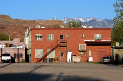
:: Back Side of Moab 
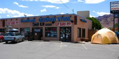
::
Gearheads Outdoor Store
:: Gearheads Outdoor Store ::
Jeep Safari
:: Jeep Safari 
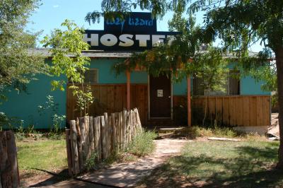
::
Lazy Lizard Hostel
:: Lazy Lizard Hostel ::
More of Moab
:: More of Moab ::
Outfitter's Truck
:: Outfitter's Truck ::
Rim Cyclery's Cord-Dispensing System
:: Rim Cyclery's Cord-Dispensing System ::
Scott M. Matheson Wetlands
:: Scott M. Matheson Wetlands ::