photo sharing and upload picture albums photo forums search pictures popular photos photography help login
Dave Beedon | profile | all galleries >> Places >> Utah >> Lucin tree view | thumbnails | slideshow | map

Arches National Park | Bingham Canyon Copper Mine | Blue Castle Canyon | Dead Horse Point State Park | Dewey Bridge | Utah: I-70 | Lakeside | Lucin | Utah: Miscellaneous Photos | Moab (town) | Moab (environs) | Salt Lake City (miscellaneous) | Salt Lake City (Red Butte Garden) | San Rafael Reef | Spiral Jetty | Sun Tunnels (Celestial Art in the Utah Desert) | Timpie: Abandoned Truck Stop | US 6 Corridor | Valley of the Gods | Wendover Area

Lucin


(SCROLL DOWN TO SEE THUMBNAIL IMAGES)

Lucin is a ghost town in northwest Utah. It was created long ago, probably as a water stop for steam locomotives. A small community got established there, but now there is little evidence of Lucin's past. A casual visitor would not know (other than from reading the interpretive signs) that people once lived and worked there.

Most of what exists at Lucin is related to the Union Pacific Railroad's line that runs through Lucin on its route between Ogden and California. There is a grade crossing, a small railroad storage yard, a spur track, a couple of interpretive signs, some trees, and a pond fed by a water line originating in the Pilot Mountains. The trees and pond make for a small oasis. Just north of the town site is an abandoned rock quarry on the shoulder of a small mountain. The only entertainment in Lucin is provided by the freight trains that pass through and by cattle that graze nearby. The Sun Tunnels, 5.2 road miles away, are an attraction. Most of the time the place is dead quiet.

Access to Lucin is easy from Utah's SR 30, a few miles to the north. From Grouse Creek Junction on SR 30, a graded dirt/gravel road runs south to Lucin, where it crosses the railroad track. From there it continues southward past a few isolated ranches to Leppy Pass, which is near Wendover. Nearby side roads lead northeast to Rabbit Springs, southeast to Little Pigeon Mountain, and west to Tecoma, Nevada (near Montello; site of a grade crossing).

This gallery covers a wide area surrounding Lucin: the site of the old town, the present-day grade of the Union Pacific Railroad, the original but long-abandoned grade of the transcontinental railroad of Promontory fame, an abandoned quarry close by to the north, Lion Mountain (five miles south of Lucin), the privately-owned airfield four miles northeast of Lucin, and the site of pivot irrigation south of the airfield. About four miles southeast of Lucin are the Sun Tunnels, but they are documented in another gallery. Distances quoted here are from the grade crossing at Lucin.

How is "Lucin" pronounced? I have heard two versions: LEW-sin (as in "loosen your grip") and lew-SIN (as in “Lou, sin no more”). More information about Lucin appears in the Wikipedia article about it.

Newest uploads are at the TOP of the gallery.

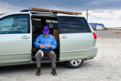
Toilet Paper Boy at Lucin, Utah
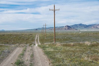
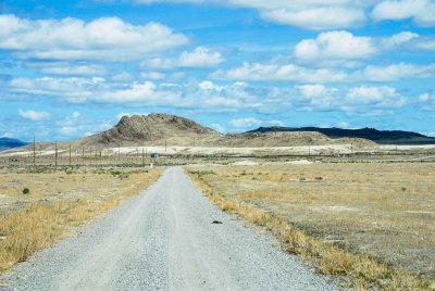
Looking south from near the Lucin VORTAC
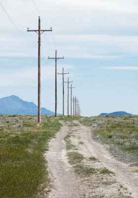
Looking north toward the Lucin VORTAC
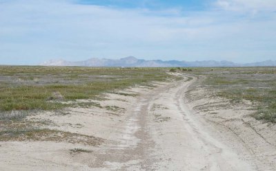
Farther south on the road
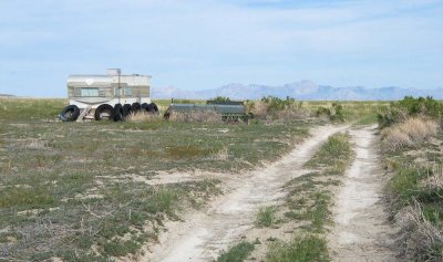
Approaching the storage trailer
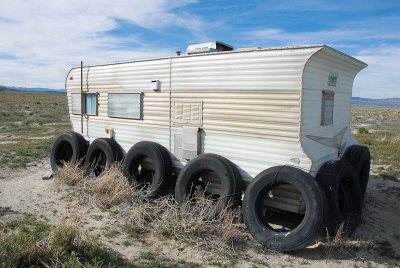
Storage trailer
Storage trailer
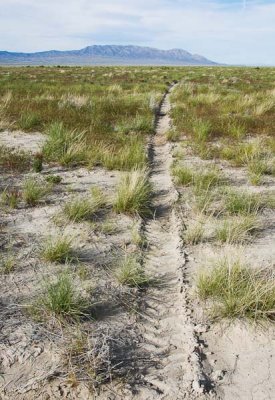
Tite track of the irrigator
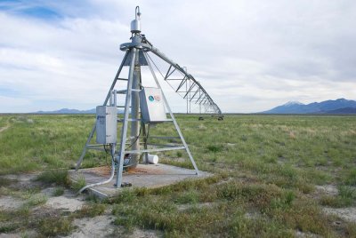
Looking southwest at the pivot irrigator
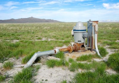
Irrigation pump
Irrigation pump
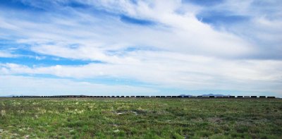
Train on the horizon
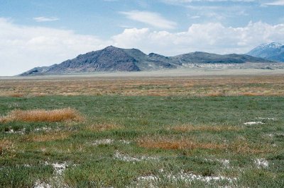
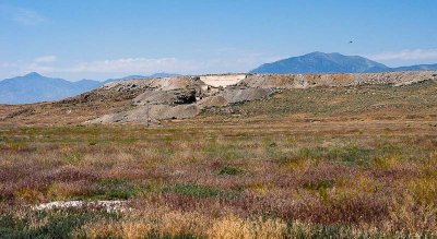
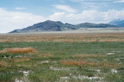
Lion Mountain as seen from near the Sun Tunnels
Quarry car
Quarry car
Looking southwest at Lion Mountain from the Sun Tunnels
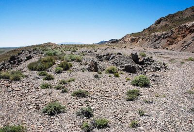
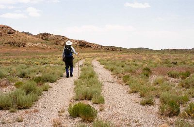
The not-so-exciting hike to Lion Mountain (off to the left)
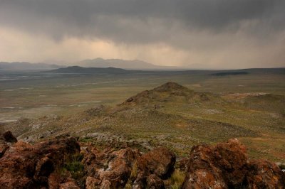
Storm passing over Lion Mountain
Looking north from Lion Mountain
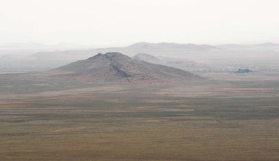
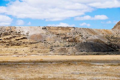
Looking northwest at the quarry mountain at Lucin
Looking south-southeast along the long axis of the abandoned Lucin quarry
Looking west at the remnants of a quarry structure at Lucin (next photo taken from farther north)
Remnant of a rock quarry (previous photo taken from farther south)
I got here too late
I got here too late
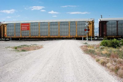
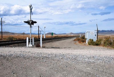
Grade crossing in a wide open space
 Looking southeast at Lucin
Looking southeast at Lucin
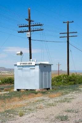
Railroad identification of Lucin: CP RV680
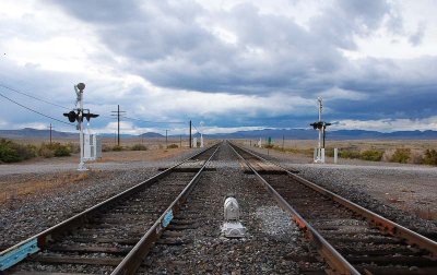
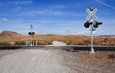
Looking northwest at the grade crossing at Lucin
Disinformation at the Lucin grade crossing
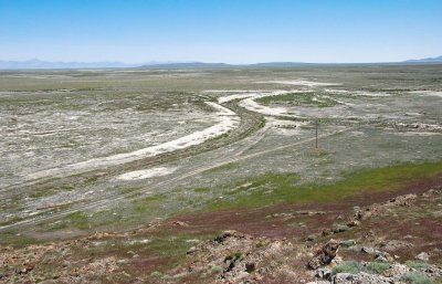
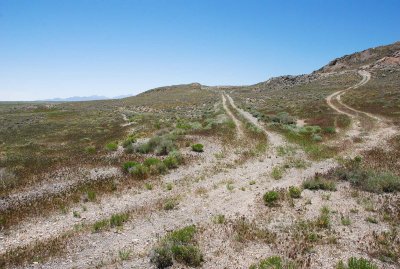
Roads leading to an abandoned quarry at Lucin
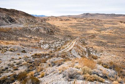
Road leading to the abandoned quarry at Lucin
Looking southeast at abandoned railroad grades (shot from the old quarry at Lucin)
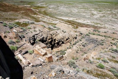
Remnants of a quarry structure
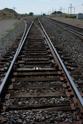
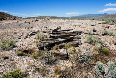
Crossties at an abandoned quarry at Lucin