


|
|
|
|
|
|
| Henk Bril | profile | all galleries >> AstroHistorica - maps, atlases and books (updated 2025) >> Star Atlases and Celestial Maps before 1900 (updated 2025) >> Argelander (1843) (new 2025) | tree view | thumbnails | slideshow |
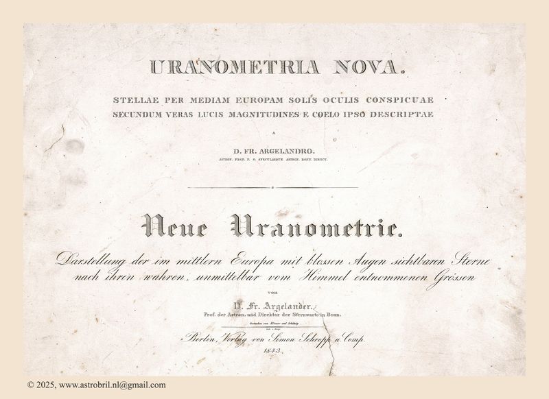 Titlepage |
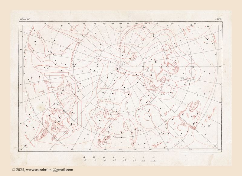 No. I |
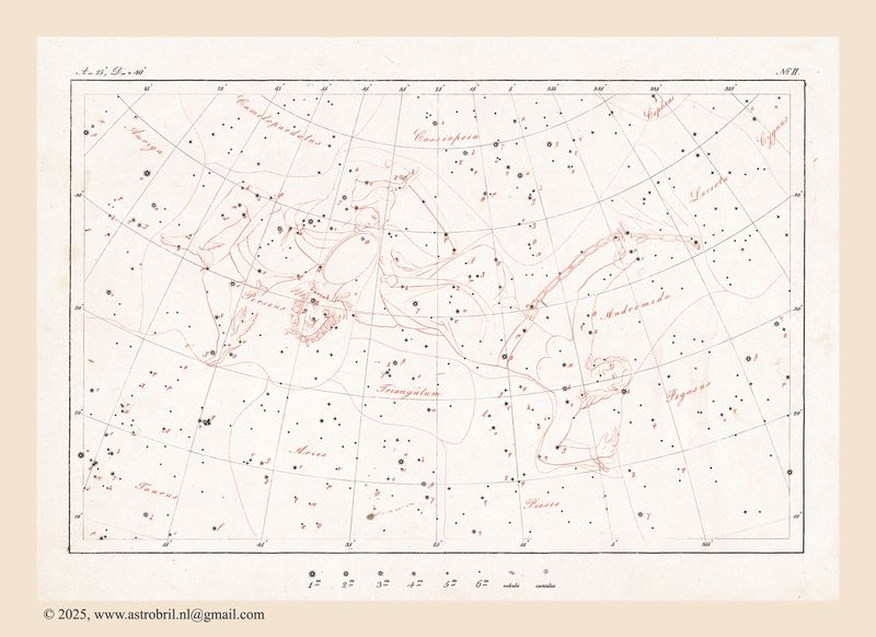 No. II |
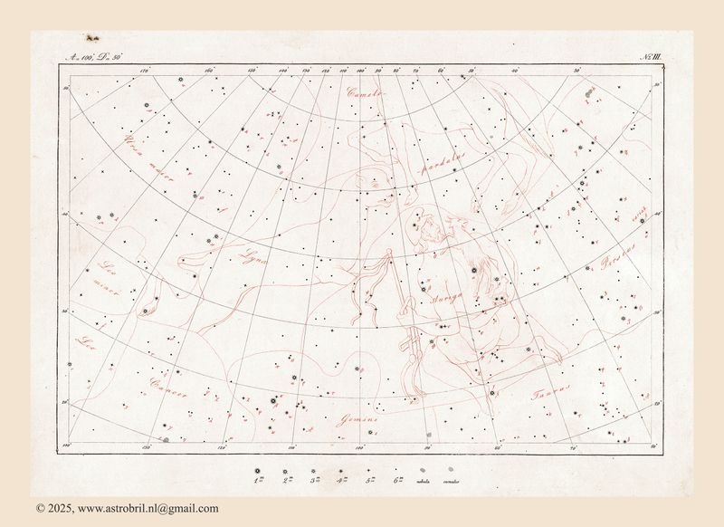 No. III |
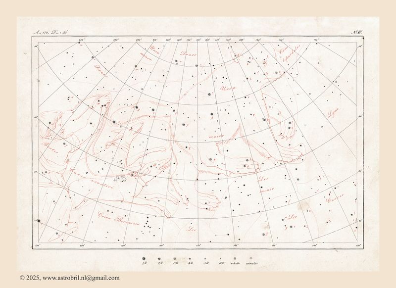 No. IV |
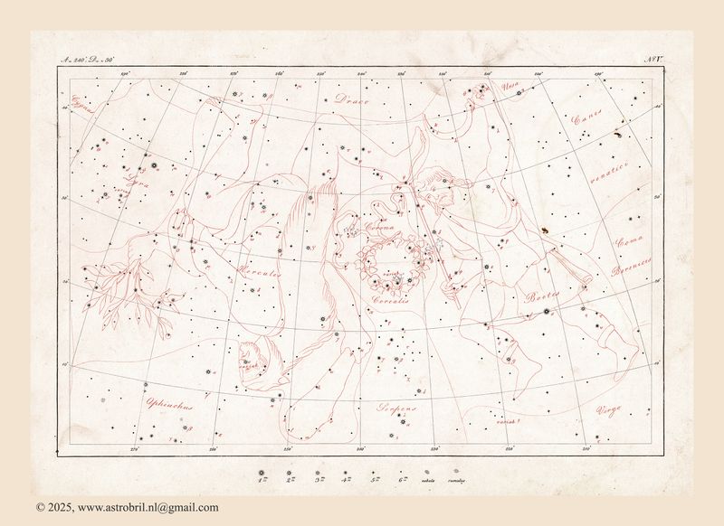 No. V |
 No. VI |
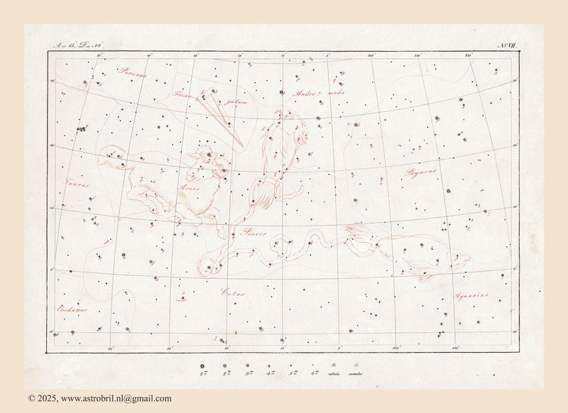 No. VII |
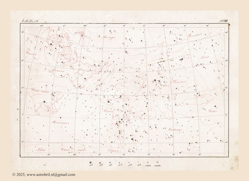 No. VIII |
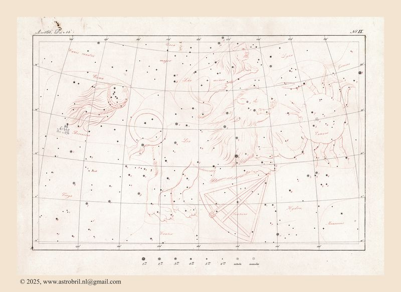 No. IX |
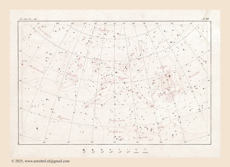
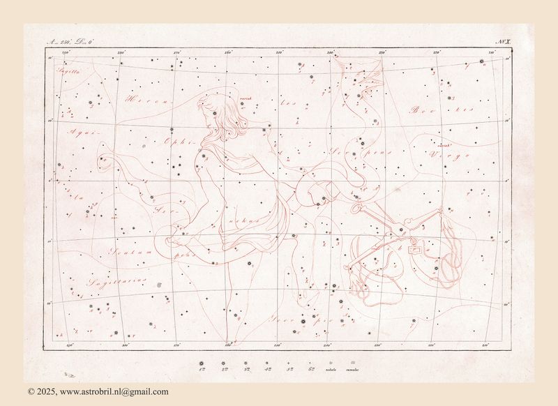 No. X |
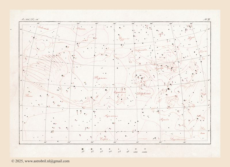 No. XI |
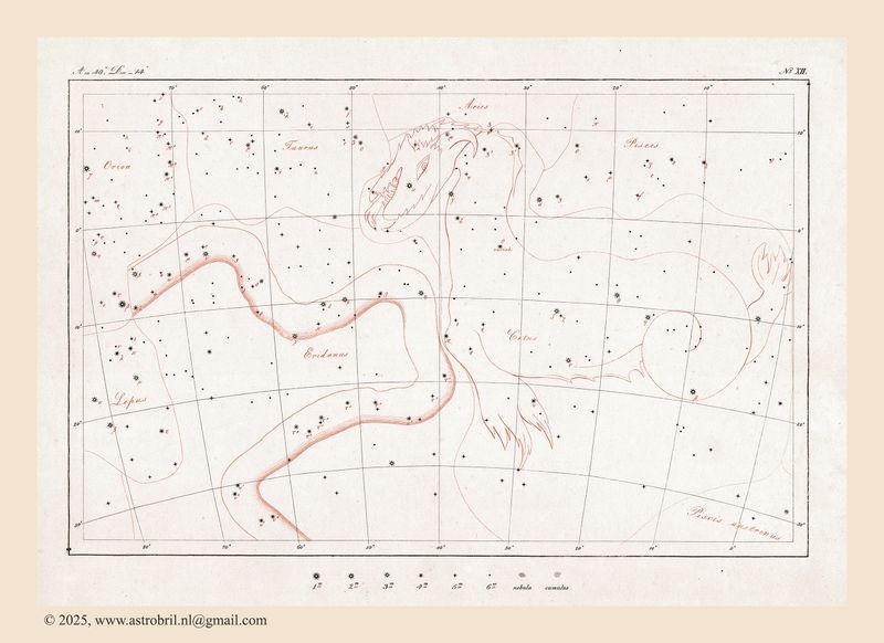 No. XII |
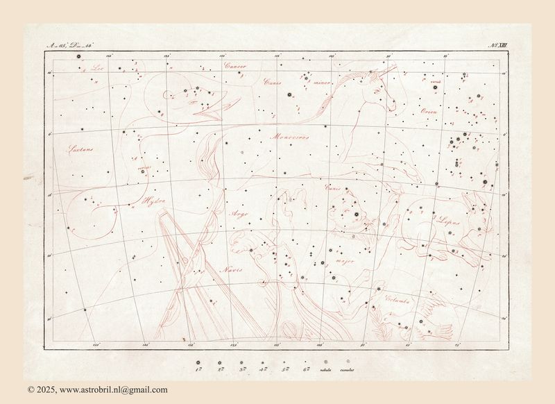 No. XIII |
 No. XIV |
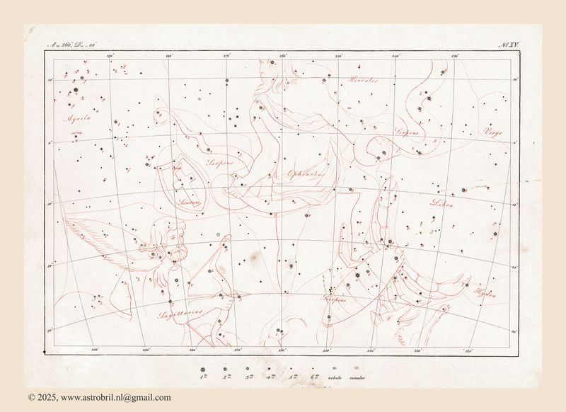 No. XV |
 No. XVI |
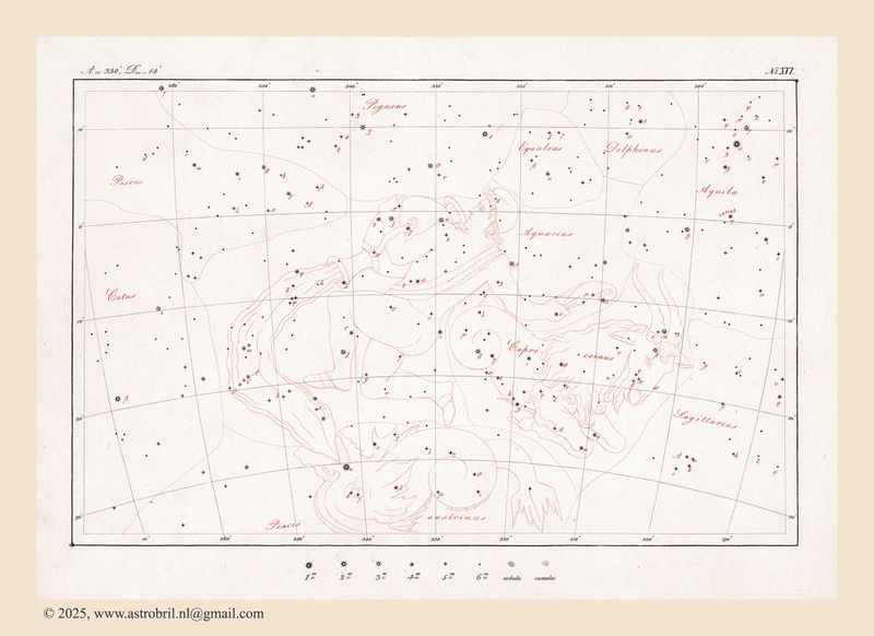
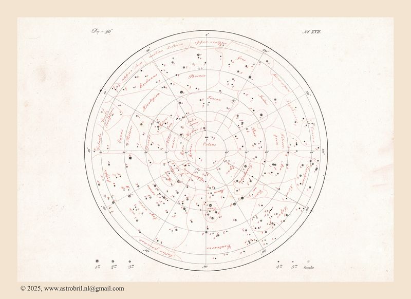 No. XVII |
| comment | share |