photo sharing and upload picture albums photo forums search pictures popular photos photography help login
Henk Bril | profile | all galleries >> Astrohistorica (updated 2025) >> Star Atlases and Celestial Maps before 1900 (updated 2025) >> Jamieson 1824 (updated 2025) tree view | thumbnails | slideshow

Bayer 1624 - 1661 | Fortin 1776 | Flamsteed 1781 | Bode 1782 | Fortin 1795 | Goldbach 1799/1803 | Bode 1801 | Ciera/Villas-Boas 1804 | Bode 1805 | Rees (1807/1808) (new 2025) | Jamieson 1822 | Jamieson 1824 (updated 2025) | Archer 1833-1834 | Hoffmann 1835 | S.D.U.K. 1851

Jamieson 1824 (updated 2025)

In 2013 I bought three mysterious maps. Unmistakably based upon Fortin/Bode, unmistakably English - but also for a while unidentifiable; it took me nine years to identify them.
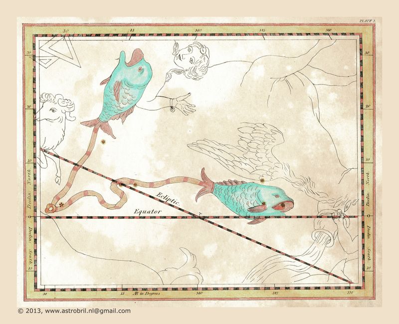
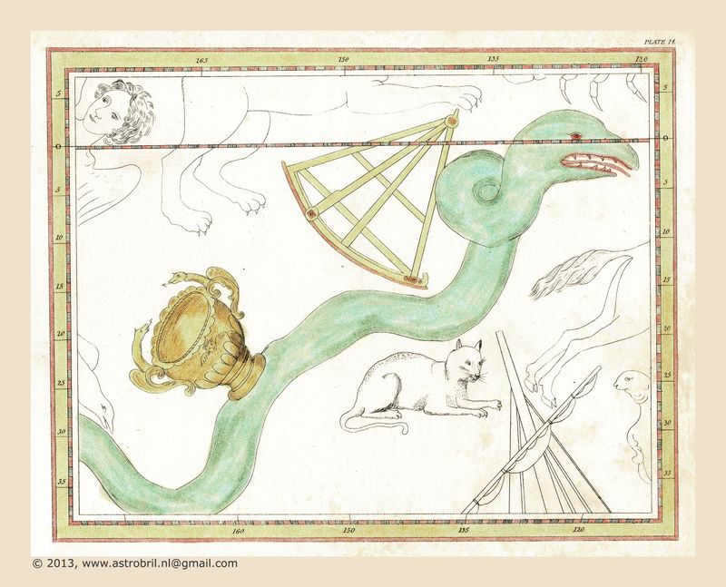
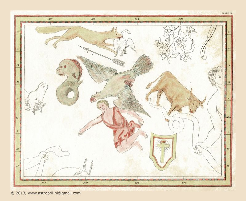
They are from "An Atlas of Outline Maps of the Heavens" by Alexander Jamieson.
This consisted of 28 charts the same size as those in his Celestial Atlas, depicting the outlines of the constellation figures only, with no stars.
Students were expected to position the stars on the charts for themselves by reference to his Celestial Atlas.
Plate 02
Plate 02
Plate 14
Plate 14
Plate 21
Plate 21