photo sharing and upload picture albums photo forums search pictures popular photos photography help login
Rolf Olsen | profile | all galleries >> Bicycle Tours >> Alaska/Canada 1999 tree view | thumbnails | slideshow

Alaska/Canada 1999

My Bicycle Tour of Alaska and Western Canada


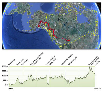
Click here to view larger map
Click here to download google Earth .kml file

On this page you'll find photos from my solo bicycle ride from Anchorage, Alaska to Calgary, Alberta. The trip was completed during 42 consecutive days from July 4th to August 19th 1999.
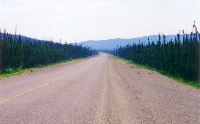
I bicycled up the Parks Hwy from Anchorage to Fairbanks, passing Broad Pass and the 6194 m high peak of Mt McKinley and then down the Richardson Hwy to Tok. From here I went north along the desolate Taylor Hwy and across the Alaska/Yukon border via Top of the World Hwy and on to Dawson City and the historic Klondike gold fields area.
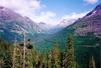
From here I continued south on the Klondike Hwy to Whitehorse and took a detour west on the Alaska Hwy to Haines Jct and down over the Chilkat Pass to Haines on the Pacific coast. I took the ferry to Skagway, admiring some of the highest coastal mountains in the world, and then pedalled up over White Pass, which many hopeful stampeders had to cross during the gold rush days.
I then joined the Alaska Hwy again and went east to Watson Lake and then south along the Stewart-Cassiar Hwy, passing through the beautiful vast wilderness of British Columbia. At Meziadin Lake I took a short turn-off west to Stewart and Hyder, and further up to the impressive Salmon Glacier. I then returned to Meziadin Lake and continued east on the Yellowhead Hwy through Prince George and Jasper. Finally I traversed the majestic Icefields Parkway in the heart of the Rocky Mountains through Jasper and Banff National Parks and ultimately arrived in Calgary after 42 days and 5270 kilometers.


DayFrom - ToDistance
1Anchorage - Portage Lake97.3 km
2Portage Lake - Park/Glenn Hwy Jct158.2 km
3Park/Glenn Hwy Jct - Trapper Creek Trading Post129.1 km
4Trapper Creek Trading Post - Carlo Creek Lodge175.8 km
5Carlo Creek Lodge - Nenana131.7 km
6Nenana - North Pole110.3 km
7North Pole - Cherokee Lodge147.4 km
8Cherokee Lodge - Tok159 km
9Tok - Chicken127 km
10Chicken - Dawson City180 km
11Sightseeing in Dawson City-
12Dawson City - McQuesten River130 km
13McQuesten River - Pelly Crossing115 km
14Pelly Crossing - Twin Lakes 151.8 km
15Twin Lakes - Whitehorse120.7 km
16Whitehorse - Otter Falls Cutoff117 km
17Otter Falls Cutoff - Million Dollar Falls122.8 km
18Million Dollar Falls - Haines156.3 km
19Haines - Carcross117.3 km
20Carcross - Mukluk Annies Salmon Bake142.5 km
21Mukluk Annies Salmon Bake - Morley River Lodge 52.1 km
22Morley River Lodge - Walkers Continental Divide89 km
23Walkers Continental Divide - Watson Lake - Jct 37164.9 km
24Jct 37 - Jade City123 km
25Jade City - Dease Lake119.5 km
26Dease Lake - Willow Ridge Resort140 km
27Willow Ridge Resort - Bell II107.7 km
28Bell II - Meziadin Jct 100.8 km
29Meziadin Jct - Salmon Glacier - Stewart159 km
30Stewart - Meziadin Jct60.3 km
31Meziadin Jct - Yellowhead Hwy Jct169.8 km
32Yellowhead Hwy Jct - Telkwa161.8 km
33Telkwa - Burns Lake135.7 km
34Burns Lake - Brookside Resort160 km
35Brookside Resort - Purden Lake 133.2 km
36Purden Lake - McBride155 km
37McBride - Mt Robson86 km
38Mt Robson - Mt Kerkeslin128 km
39Mt Kerkeslin - Wilcox Creek87.1 km
40Wilcox Creek - Mosquito Creek105.2 km
41Mosquito Creek - Banff98.5 km
42Banff - Calgary144.3 km
Total distance:5270 km
Daily average:128.5 km
Route map and profile
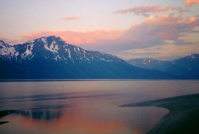
Turnagain Arm
Turnagain Arm
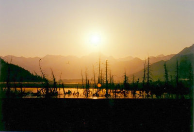
Sunrise on the Seward Highway
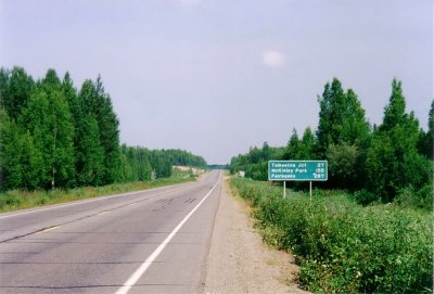
Parks Highway
Parks Highway
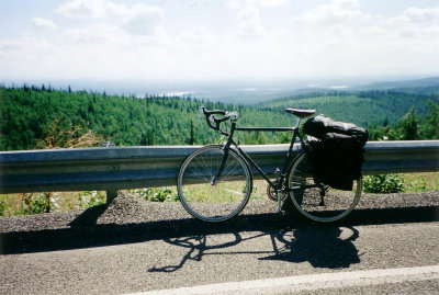
Looking south near Fairbanks
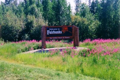
Welcome to Fairbanks
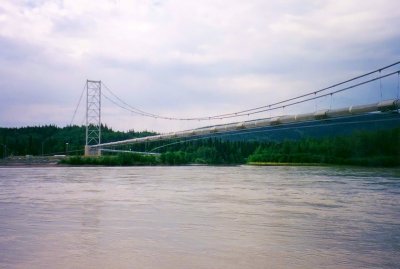
Alaska Pipeline - Tanana River crossing
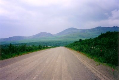
Beginning of Taylor Highway near Tok
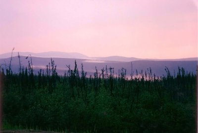
Sunset on the Taylor Highway
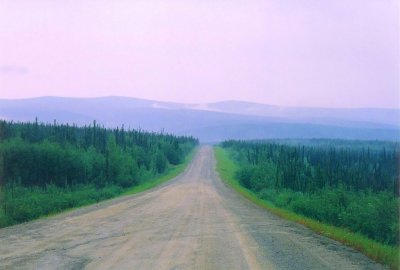
Taylor Highway at dusk
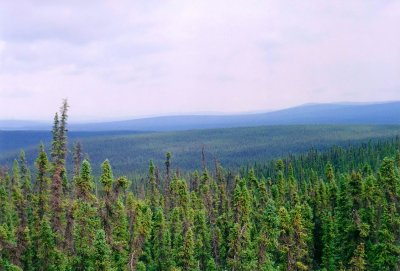
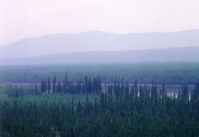
Looking north through endless boreal forest from Top of the World Highway
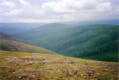
Top of the World Highway - near Alaska/Canada border crossing
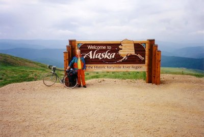
Top of the World Highway - Alaska/Canada border crossing
Sunset viewed from Top of the World Highway
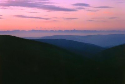
Sunset over Ogilvie Mountains
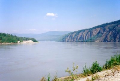
The Yukon River at Dawson City
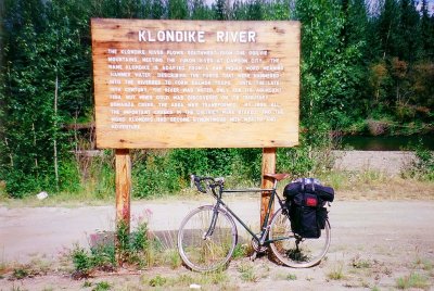
The Klondike River
The Klondike River
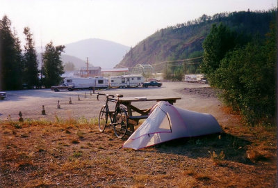
My camp site in Dawson City
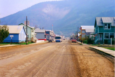
Dawson City Main Street
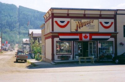
Dawson City
Dawson City
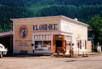
Klondike Kate's in Dawson City
Beginning of the Dempster Highway
The Klondike Highway
View of the Yukon River from the Klondike Highway
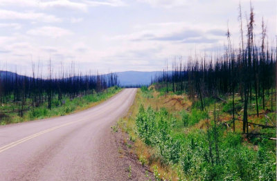
Burned spruce forest on the Klondike Highway
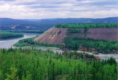
 Five Finger Rapids on the Yukon River
Five Finger Rapids on the Yukon River
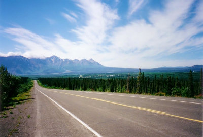
Going west on Alaska Highway towards Haines Junction
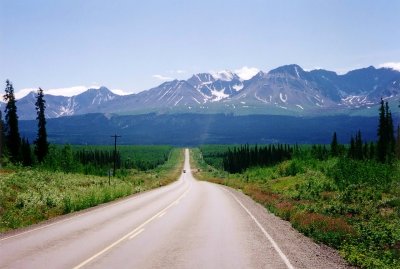
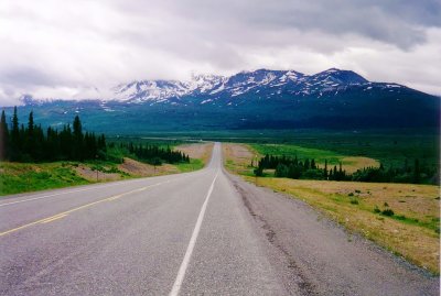
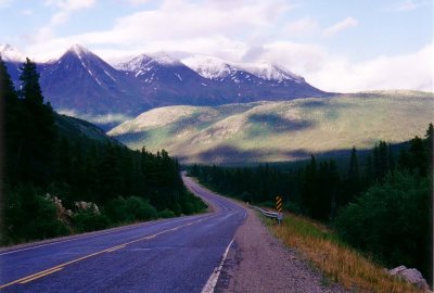
Haines Highway near Haines Junction
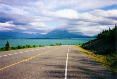
Dezadeash Lake - Haines Highway
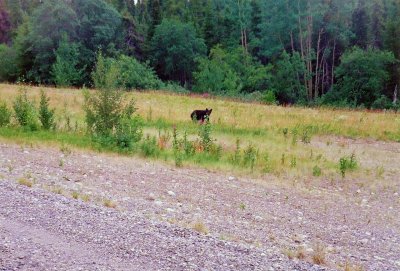
Black bear on the Haines Highway
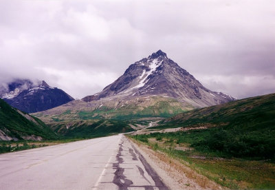
Near the summit of Haines Highway
Three Guardsmen Mountain viewed from Haines Highway
White Pass and Yukon Route narrow gauge railroad line
Bernard Lake
Bernard Lake
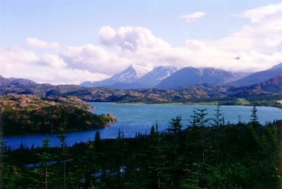
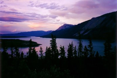
Tutshi Lake
Tutshi Lake
Tagish Lake
Tagish Lake
Tagish Road
Tagish Road
Alaska Highway - Yukon Southern Lakes area
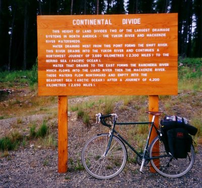
Alaska Highway - The Continental Divide
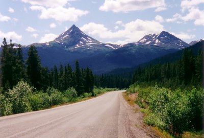
Needlenose Mountain on the Stewart-Cassiar Highway
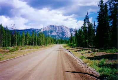
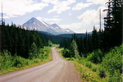
Stewart-Cassiar Highway (Highway 37)
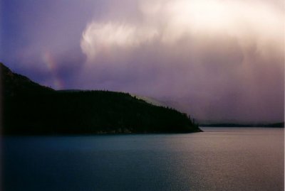
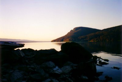
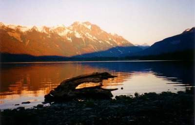
Sunrise at Meziadin Lake
Bear Glacier
Bear Glacier
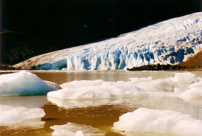
Bear Glacier terminus
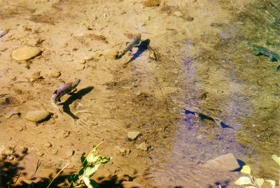
Salmon in Fish Creek, Hyder AK
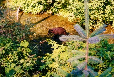
Bear in Fish Creek near Hyder, AK
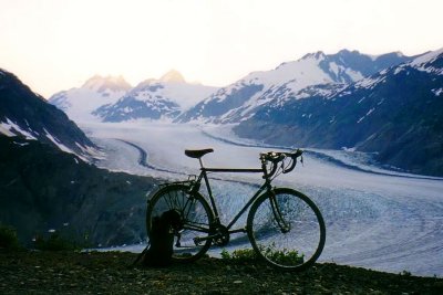
Sunset over Salmon Glacier
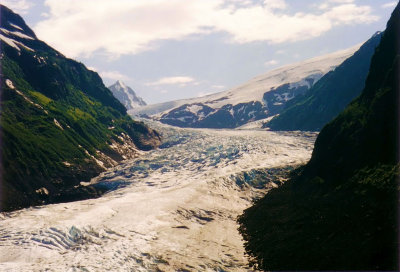
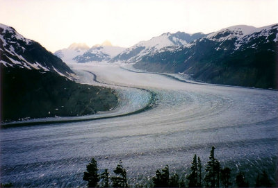
Salmon Glacier from the summit of Salmon Glacier Road
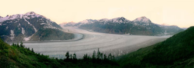
Salmon Glacier panorama
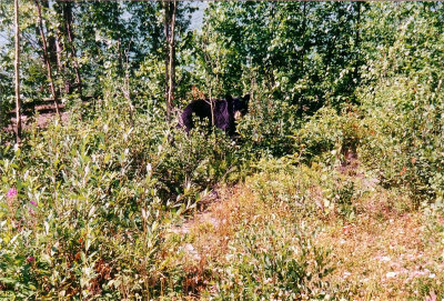
Black bear on Yellowhead Highway
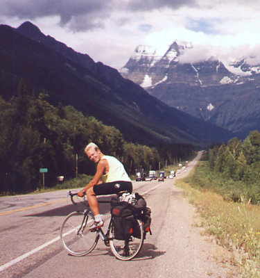
Me in front of Mount Robson
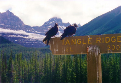
Ravens at Tangle Ridge
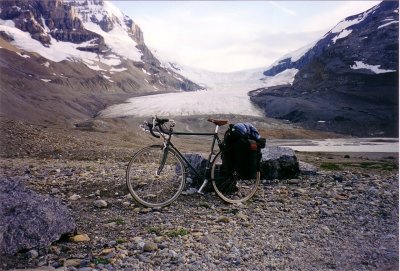
The Columbia Icefield - Athabasca Glacier
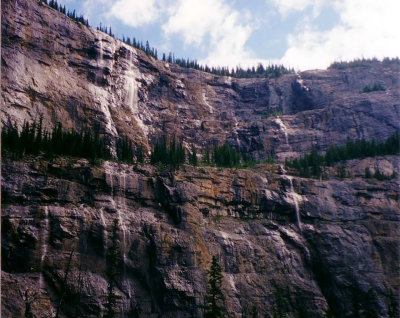
The Weeping Wall
The Weeping Wall
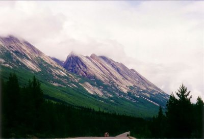
Banff National Park
Banff National Park
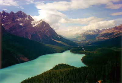
Peyto Lake
Peyto Lake
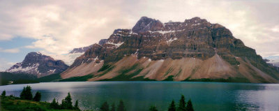
The Crowfoot Glacier and Bow Lake
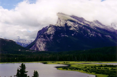
Mount Rundle - Banff National Park