


|
|
|
|
|
|
| Dave Beedon | profile | all galleries >> Places >> Utah >> Wendover Area >> Floating Island >> Floating Island's Main Summit (2006) | tree view | thumbnails | slideshow | map |
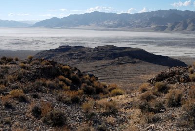
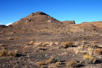
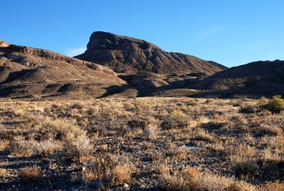
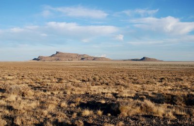 Floating Island as it appears from the Silver Island Backcountry Byway |
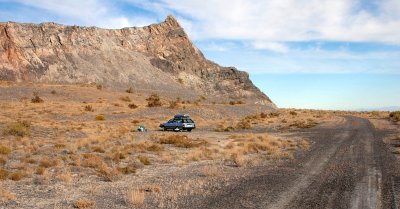 Campsite: just a level, gravelly spot next to the road |
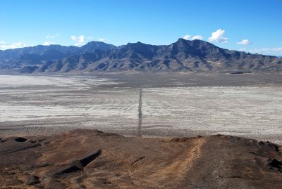
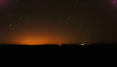 Looking east from Floating Island |
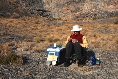 Breakfast in the morning sun |
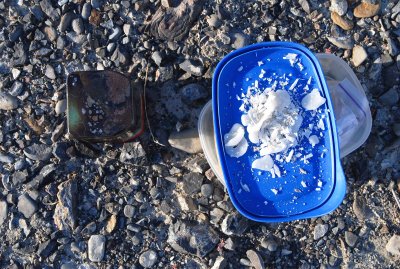 I had to clean up the wax mess made the previous night by a candle |
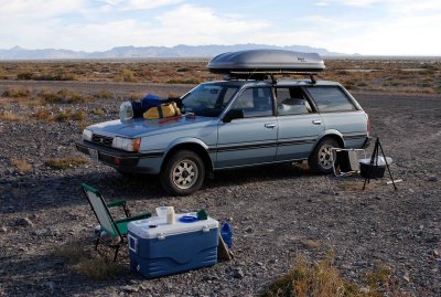 Another view of camp, looking out over the playa (Newfoundland Mountains in background) |
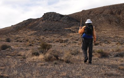
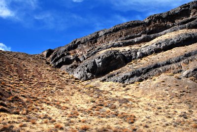
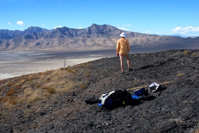
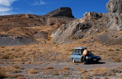 Ready to start hiking, north of the summit (the black buttress) |
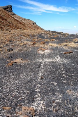
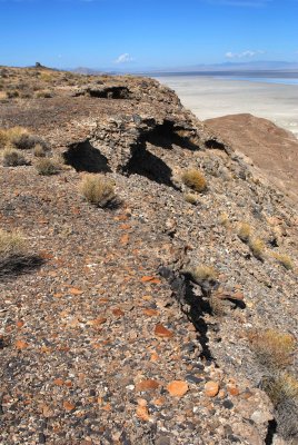
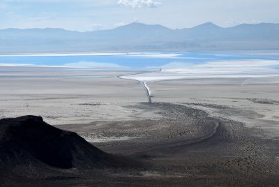
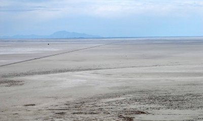
 Lines made in quarry during construction of a causeway |
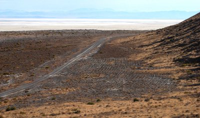 Nazca lines for Chariots of the Gods? |
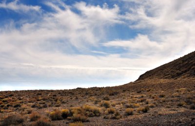
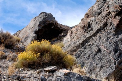
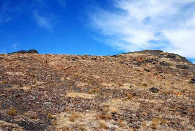
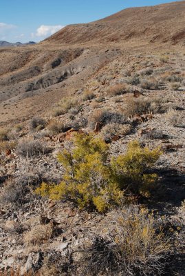
 No shade trees here: maximum height of vegetation is about 18 inches (0.6m) |
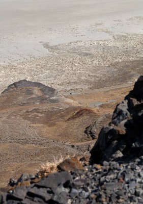
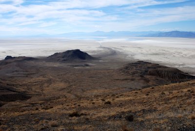
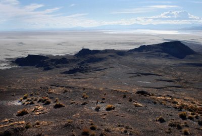
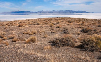 Plateau and playa, with Newfoundland Mountains in the distance |
 Summit |
 Joe Tripod stays behind in the service of my ego |
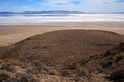 Plateau and playa, with Newfoundland Mountains at upper left |
 ATV tracks---but no evidence of surfing---on a wave terrace created by Lake Bonneville |
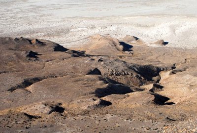
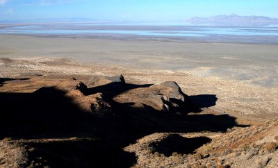
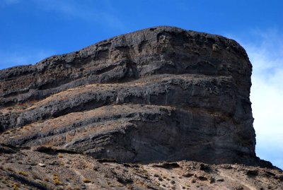 Northeast side of the summit block |
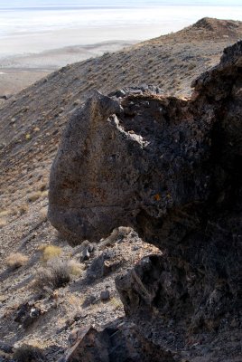
 Rocky lip of the wave terrace |
 Terrace and sky |
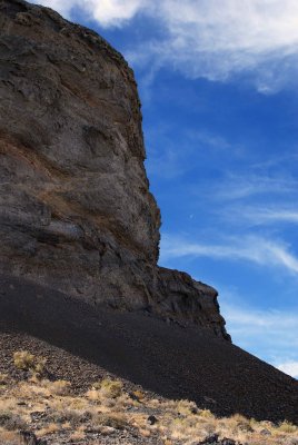 Big cliff, little Moon |
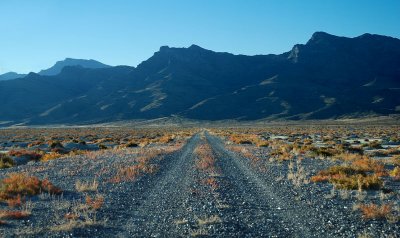
 Access routes to Gate 74 of the Utah Test and Training Range (UTTR) |
 Final scramble |
 Upper slope: turn right and go under the dark overhang |
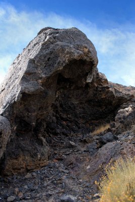 The evil Dark Overhang |
 The evil Dark Overhang from above |
 I beg your pardon, I didn't promise you a rose garden |
 Cairn on false summit; true summit in background; 300-foot (91m) drop beyond that |
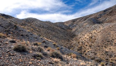
 Trough between summits |
 PARENTS: shield your impressionable offspring from this debauchery in the wilderness |
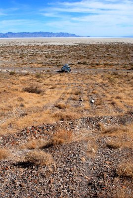
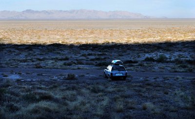
 My car at the center of the image, 900 feet (274m) below |
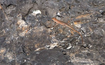 My only animal company on the summit |
 Looking northwest at the causeway and Silver Island Mountains |
 Scenery dispoiled by uncaring visitor |
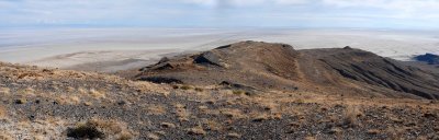
 Wide-angle view to the southwest (toward Wendover) |
 Telephoto view to the southwest (toward Wendover) |
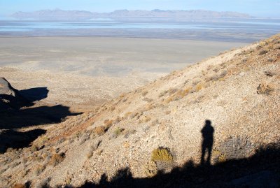
 Afternoon shadows |
 Lake Bonneville terraces |
 Dried soil (1 of 2) |
 Dried soil (2 of 2) |
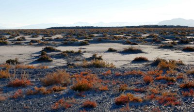
 Vegetation on the lower terrace |
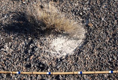 Plant that thinks it's a brush |
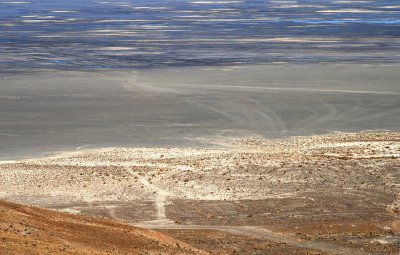
 Looking southwest at playa and Silver Island Mountains |
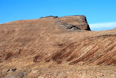
 The Hill |
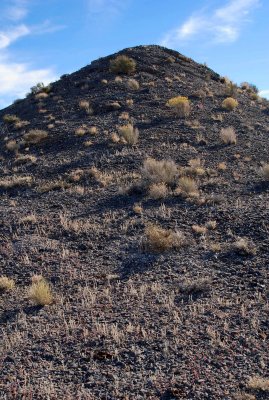 The Hill, up close |
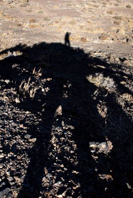 Shadow shot while standing atop The Hill |
Panorama of the Lake Bonneville Terrace from "The Hill" (Floating Island's summit at left) |
 East causeway (and Interstate 80, 11 miles away)---see ORIGINAL size image |
 Eight shorelines of Lake Bonneville on the mountain slopes |
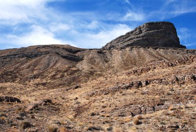
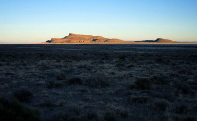
 Bare summit above a large terrace formed by Lake Bonneville |
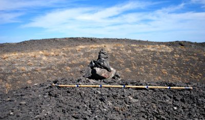
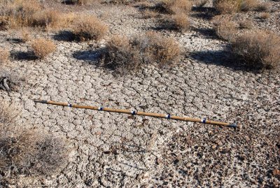
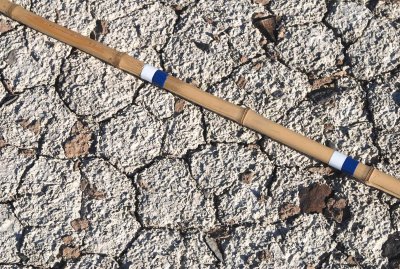
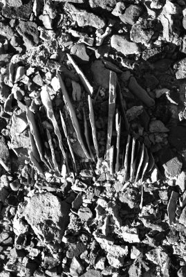
![Rock blades on terrace of Lake Bonneville (blue marks on bamboo stick are one foot [30cm] apart)](https://a4.pbase.com/g6/93/584893/3/79635082.wIAjRC5m.jpg) Rock blades on terrace of Lake Bonneville (blue marks on bamboo stick are one foot [30cm] apart) |
 Close-up view of weird rock of previous photo |
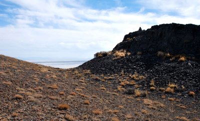
 Southern end of the island |
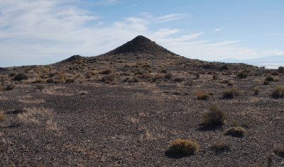
 Hill and summit |
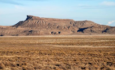 Hill and summit (from the Silver Island Backcountry Byway) |
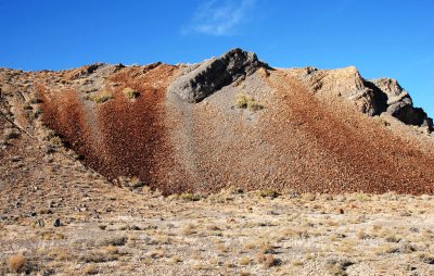 Streaky talus above a Lake Bonneville terrace |
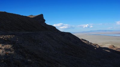 Shadowy terrain |
 Heading for the car, a blue speck between shadows at bottom right |
 Shadow on Floating Island |
 Car in shadow by the time I reached it |
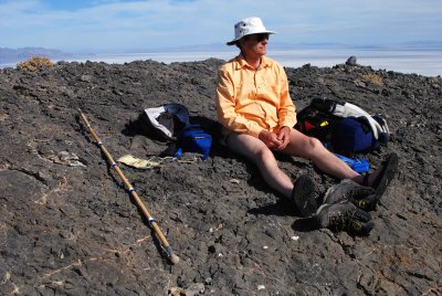
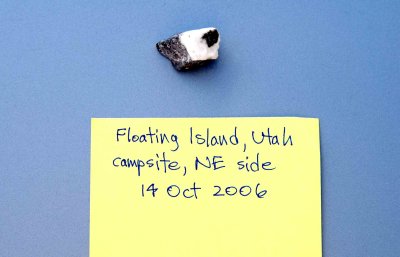 Digital record takes the place of a labelled Zip-Loc bag |
 Summit from the west |
 View from the causeway, looking northwest at the Silver Island Mountains |
 Playa, as seen from the causeway |
 FIoating Island at sunset |
| comment | share |
| L Barnes | 16-May-2007 02:38 | |
| 1moremile | 09-May-2007 23:05 | |