photo sharing and upload picture albums photo forums search pictures popular photos photography help login
Dave Beedon | profile | all galleries >> Places >> Utah >> Wendover Area >> Floating Island >> Floating Island's Main Summit ( 2004) tree view | thumbnails | slideshow

Floating Island's Main Summit ( 2004) | Floating Island's Main Summit (2006) | Floating Island 's South Summit | Floating Island: Gate 74 Re-visited | Floating Island: Miscellaneous Photos

Floating Island's Main Summit ( 2004)

This was my first trip to Floating Island. I hiked and scrambled to its main summit,
approaching from the northwest. I started off in beautiful sunny weather, and returned
to the car in the bleakness of a rain storm. While on the summit I watched the storm kick
up a salt cloud over the Bonneville Salt Flats: the cloud was about 2000 feet (600m) tall.

Before starting the hike I explored the playa on the mountain's east side, walking to the
fence bordering the Utah Test and Training Range. The summit is at the center of this WikiMapia
aerial view: http://www.wikimapia.org/#lat=40.915783&lon=-113.639059&z=14&l=0&m=a&v=2 .

Photos were taken in June 2004.
.
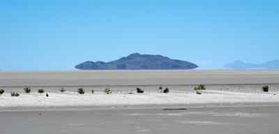
Approach to Floating Island
:: Approach to Floating Island ::
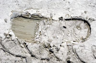
Mud Flats and UTTR Gate 74
:: Mud Flats and UTTR Gate 74 ::
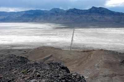
Hike to Top of Floating Island
:: Hike to Top of Floating Island ::