


|
|
|
|
|
|
| Dave Beedon | profile | all galleries >> Places >> Utah >> Wendover Area >> Floating Island >> Floating Island's Main Summit ( 2004) >> Approach to Floating Island | tree view | thumbnails | slideshow | map |
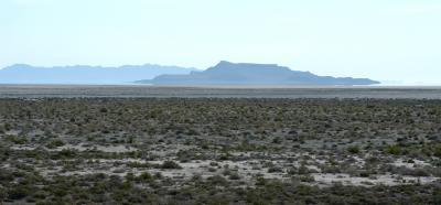
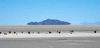 Floating Island "floats" |
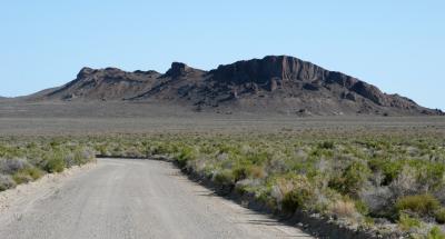
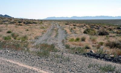
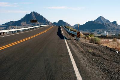 Road and ridge |
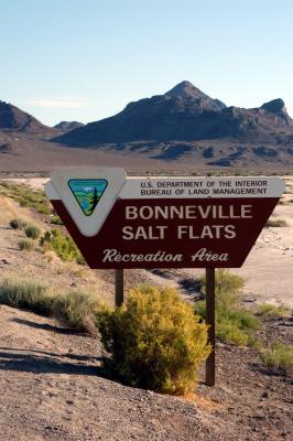 BLM sign |
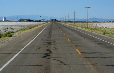 Asphalt leads to Exit 4 |
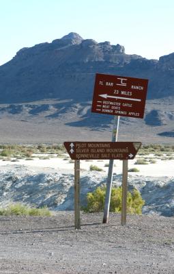 Directions |
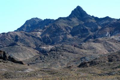
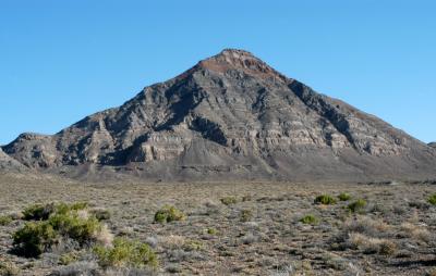 Rishel Peak |
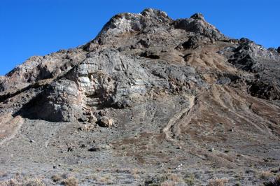 Mountain details |
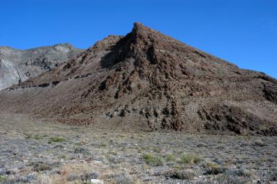 Pointing mountain |
 Floating Island awaits |
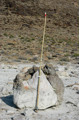 Crusty boulder |
 Mountains |
 Pyramid |
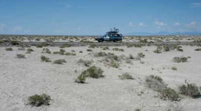
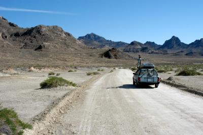 Photo stop |
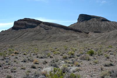
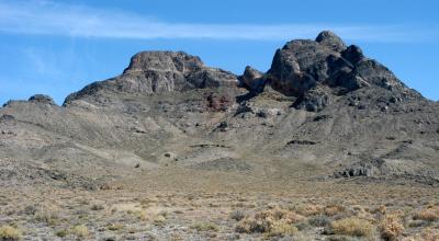 Bumpy mountains |
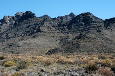 Layers |
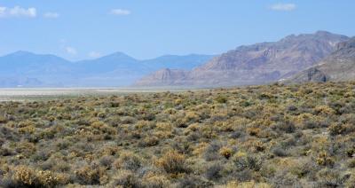 Tetzlaff Peak and Peak 4944 |
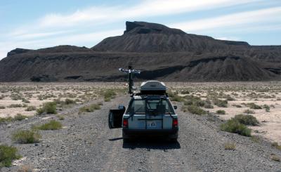
 Route to Floating Island |
 Causeway view |
 Playa and causeway |
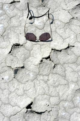 Cracked mud |
 Summits |
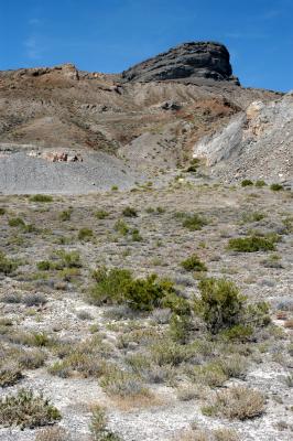 Main summit |
| comment | share |
| Al Booton | 10-Mar-2006 02:28 | |