photo sharing and upload picture albums photo forums search pictures popular photos photography help login
Dave Beedon | profile | all galleries >> Places >> Utah >> Wendover Area >> Floating Island >> Floating Island's Main Summit (2006) tree view | thumbnails | slideshow | map

Floating Island's Main Summit ( 2004) | Floating Island's Main Summit (2006) | Floating Island 's South Summit | Floating Island: Gate 74 Re-visited | Floating Island: Miscellaneous Photos

Floating Island's Main Summit (2006)

I get a thrill from going somewhere that most people---whether by choice or by ignorance---don't
go, as long as the place is reasonable accessible. Floating Island is one of those places. From the
summit of this isolated mountain, surrounded by salt flats and playa, one has a fantastic view of
the surrounding terrain. And the visitor is guaranteed to not encounter another person there.

Floating Island appears at the center of this WikiMapia aerial view (click on any rectangle
for information): http://www.wikimapia.org/#y=40904172&x=-113638458&z=10&l=0&m=a&v=2 .

Photos appear roughly in chronological order and were taken in 2006.
.
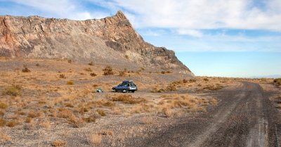
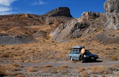
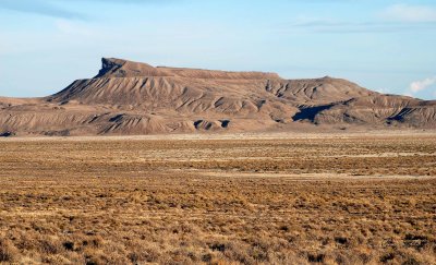
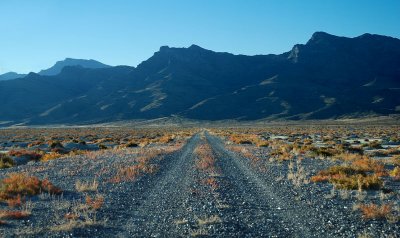
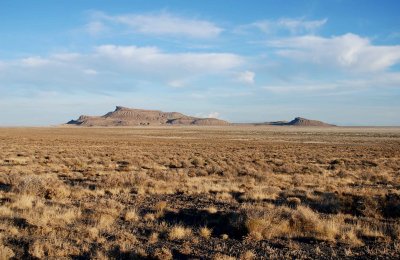
Floating Island as it appears from the Silver Island Backcountry Byway
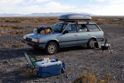
Campsite: just a level, gravelly spot next to the road
Looking east from Floating Island
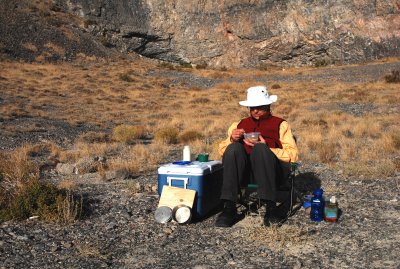
Breakfast in the morning sun
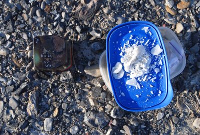
I had to clean up the wax mess made the previous night by a candle
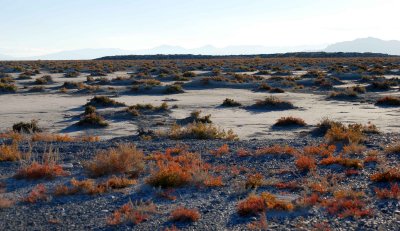
Another view of camp, looking out over the playa (Newfoundland Mountains in background)
Ready to start hiking, north of the summit (the black buttress)
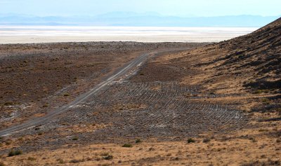
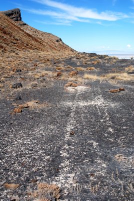
Lines made in quarry during construction of a causeway
Nazca lines for Chariots of the Gods?
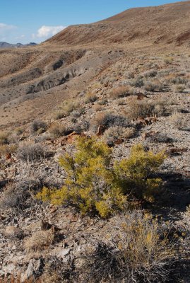
No shade trees here: maximum height of vegetation is about 18 inches (0.6m)
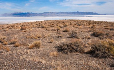
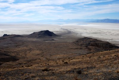
Plateau and playa, with Newfoundland Mountains in the distance
Summit
Summit
Joe Tripod stays behind in the service of my ego
Plateau and playa, with Newfoundland Mountains at upper left
ATV tracks---but no evidence of surfing---on a wave terrace created by Lake Bonneville
Northeast side of the summit block
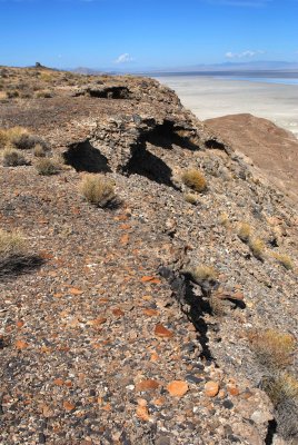
Rocky lip of the wave terrace
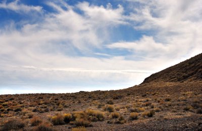
Terrace and sky
Terrace and sky
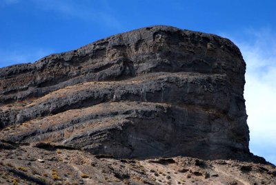
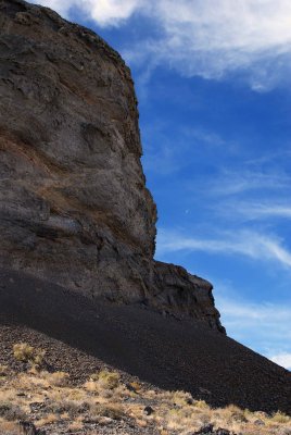
Big cliff, little Moon
Access routes to Gate 74 of the Utah Test and Training Range (UTTR)
Final scramble
Final scramble
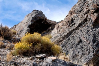
Upper slope: turn right and go under the dark overhang
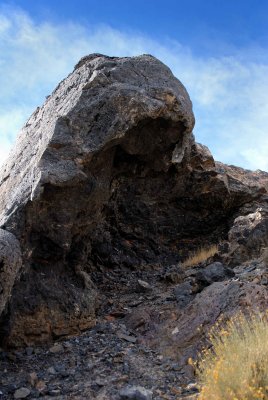
The evil Dark Overhang
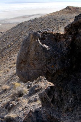
The evil Dark Overhang from above
I beg your pardon, I didn't promise you a rose garden
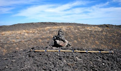
Cairn on false summit; true summit in background; 300-foot (91m) drop beyond that
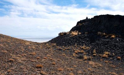
Trough between summits
PARENTS: shield your impressionable offspring from this debauchery in the wilderness
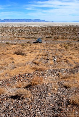
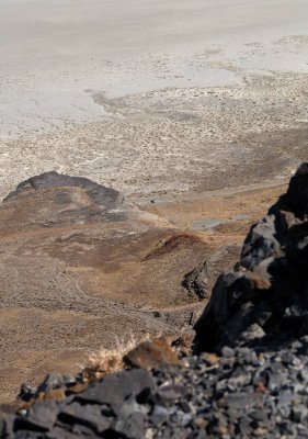
My car at the center of the image, 900 feet (274m) below
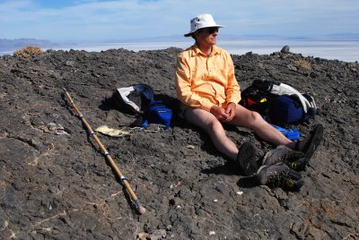
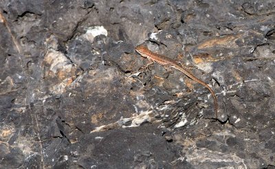
My only animal company on the summit
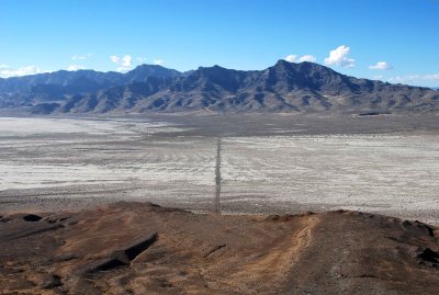
Looking northwest at the causeway and Silver Island Mountains
Scenery dispoiled by uncaring visitor
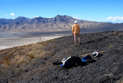
Wide-angle view to the southwest (toward Wendover)
Telephoto view to the southwest (toward Wendover)
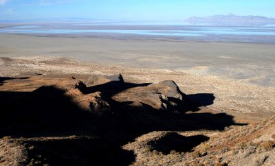
Afternoon shadows
Afternoon shadows
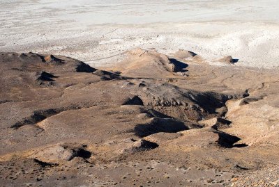
Lake Bonneville terraces
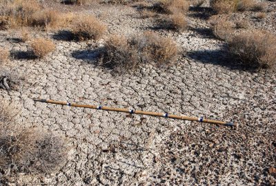
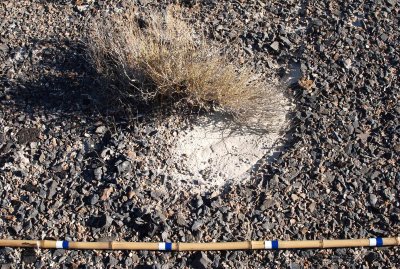
Dried soil (1 of 2)
Dried soil (1 of 2)
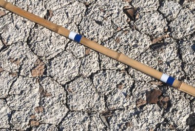
Dried soil (2 of 2)
Dried soil (2 of 2)
Vegetation on the lower terrace
Plant that thinks it's a brush
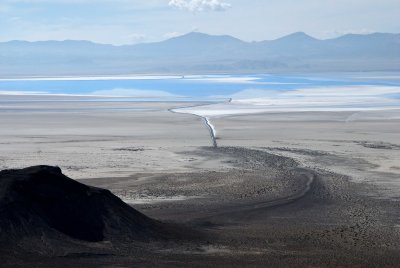
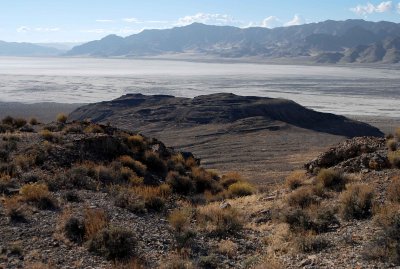
Looking southwest at playa and Silver Island Mountains
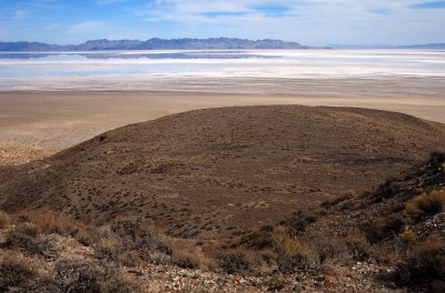
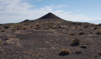
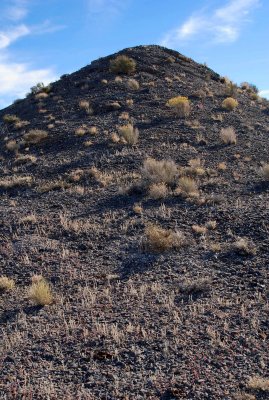
The Hill
The Hill
The Hill, up close
The Hill, up close
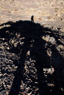
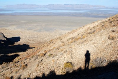
Shadow shot while standing atop The Hill
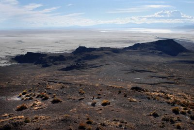
Panorama of the Lake Bonneville Terrace from The Hill (Floating Island's summit at left)
Panorama of the Lake Bonneville Terrace from "The Hill" (Floating Island's summit at left)
East causeway (and Interstate 80, 11 miles away)---see ORIGINAL size image
Eight shorelines of Lake Bonneville on the mountain slopes
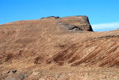
Bare summit above a large terrace formed by Lake Bonneville
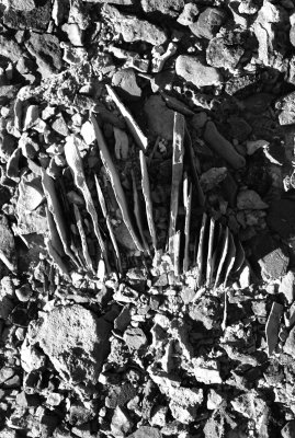
Rock blades on terrace of Lake Bonneville (blue marks on bamboo stick are one foot [30cm] apart)
Close-up view of weird rock of previous photo
Southern end of the island
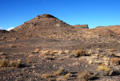
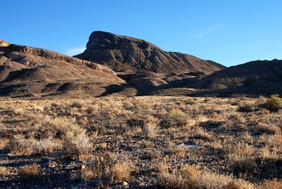
Hill and summit
Hill and summit
Hill and summit (from the Silver Island Backcountry Byway)
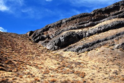
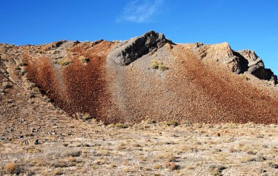
Streaky talus above a Lake Bonneville terrace
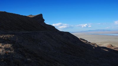
Shadowy terrain
Shadowy terrain
Heading for the car, a blue speck between shadows at bottom right
Shadow on Floating Island
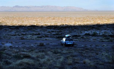
Car in shadow by the time I reached it
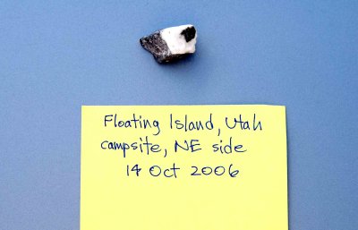
Digital record takes the place of a labelled Zip-Loc bag
Summit from the west
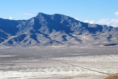
View from the causeway, looking northwest at the Silver Island Mountains
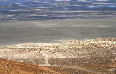
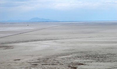
Playa, as seen from the causeway
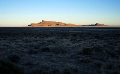
FIoating Island at sunset