photo sharing and upload picture albums photo forums search pictures popular photos photography help login
Type your message and click Add Comment
It is best to login or register first but you may post as a guest.
Enter an optional name and contact email address. Name
Name Email
help private comment
Dave Beedon | profile | all galleries >> Places >> Utah >> Wendover Area >> Floating Island >> Floating Island's Main Summit ( 2004) tree view | thumbnails | slideshow

Floating Island's Main Summit ( 2004) | Floating Island's Main Summit (2006) | Floating Island 's South Summit | Floating Island: Gate 74 Re-visited | Floating Island: Miscellaneous Photos

Floating Island's Main Summit ( 2004)

This was my first trip to Floating Island. I hiked and scrambled to its main summit,
approaching from the northwest. I started off in beautiful sunny weather, and returned
to the car in the bleakness of a rain storm. While on the summit I watched the storm kick
up a salt cloud over the Bonneville Salt Flats: the cloud was about 2000 feet (600m) tall.

Before starting the hike I explored the playa on the mountain's east side, walking to the
fence bordering the Utah Test and Training Range. The summit is at the center of this WikiMapia
aerial view: http://www.wikimapia.org/#lat=40.915783&lon=-113.639059&z=14&l=0&m=a&v=2 .

Photos were taken in June 2004.
.
Approach to Floating Island
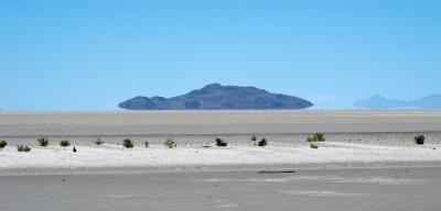
:: Approach to Floating Island ::
Mud Flats and UTTR Gate 74
:: Mud Flats and UTTR Gate 74 
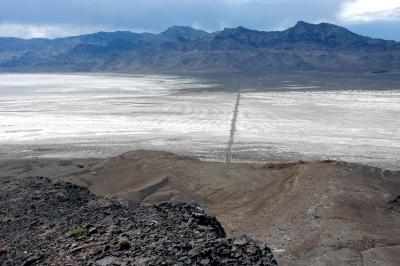
::
Hike to Top of Floating Island
:: Hike to Top of Floating Island ::