photo sharing and upload picture albums photo forums search pictures popular photos photography help login
Type your message and click Add Comment
It is best to login or register first but you may post as a guest.
Enter an optional name and contact email address. Name
Name Email
help private comment
Brian H | profile | all galleries >> Travels >> Southern Utah - October 2004 tree view | thumbnails | slideshow

Southern Utah - October 2004

In October 2004 we took a twelve day camping, sightseeing, hiking and off-roading trip through California, Nevada, Utah and touching Colorado. We visited ten National Parks, Monuments and Recreation Areas and camped every night except one which was on our return. We viewed a wide variety of scenery, took a ferry ride, hiked more than 20 miles and drove off-pavement about 200 miles.
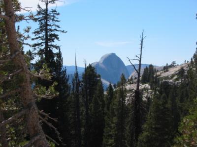
Half Dome from Tioga Pass road
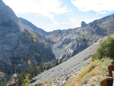
Top of Tioga Pass
Top of Tioga Pass
Devil's Postpile National Monument
Hexagonal stone formations
Sotcher Lake in early morning
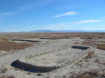
Baker Village archeological site
Great Basin National Park
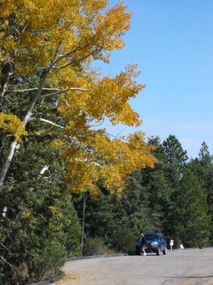
Aspen trees at Great Basin NP
Lehman Caves
Lehman Caves
Bryce Canyon National Park at sunset
Sunrise Point at Bryce
Morning glow
Morning glow
Happy campers
Happy campers
Peekaboo Loop Trail
Peekaboo Loop Trail
Natural bridge
Natural bridge
From Sunset Point
From Sunset Point
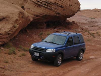
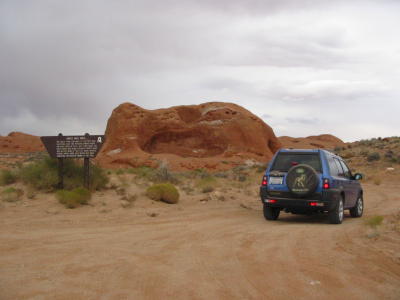
Grand Staircase Escalante - Dance Hall Rock
Turn around point on Hole in the Rock Road
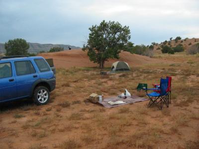
Camp at Grand Staircase Escalante
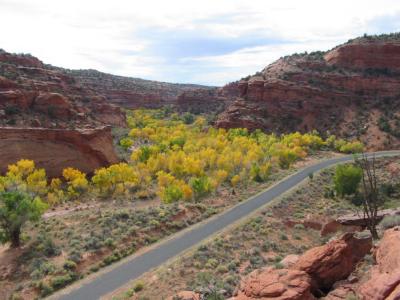
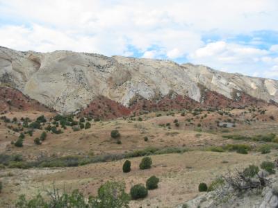
Yellow cottonwood trees from the Burr Trail
Burr Trail
Burr Trail
Color in the canyons
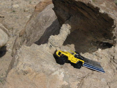
Geocache on the Burr Trail
Capitol Reef National Park - Waterpocket District
Mineral variety
Mineral variety
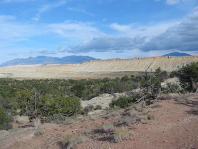
Sunset on Waterpocket Fold
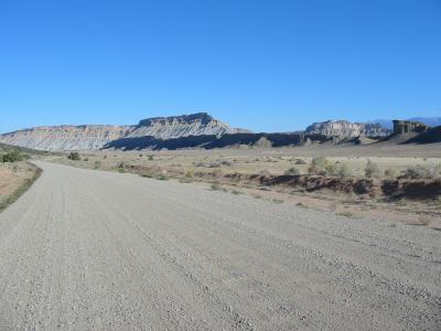
Waterpocket Fold - early morning
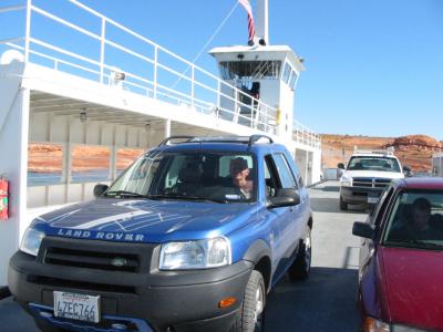
Utah State Ferry
Utah State Ferry
Cliff dwelling east of Halls Crossing, UT
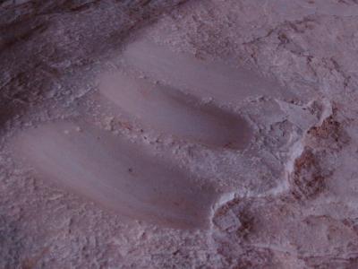
Grinding stone marks
Natural Bridges National Monument
Down into the canyon
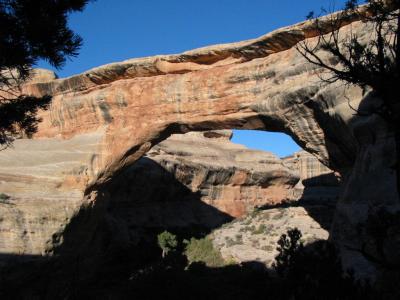
Kachina Bridge
Kachina Bridge
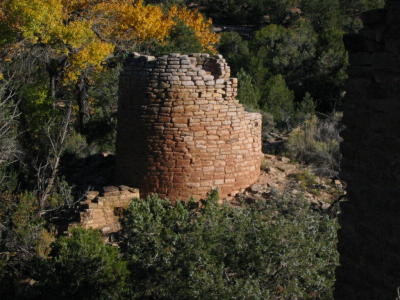
Hovenweep National Monument
Little Ruin Canyon
Little Ruin Canyon
Square Tower
Square Tower
Tower Point Ruin
Tower Point Ruin
Hackberry Unit tower
Canyonlands National Park - Sunset
Near sunset - Island in the Sky District
White Rim Road
White Rim Road
Gooseneck Overlook on the White Rim Road
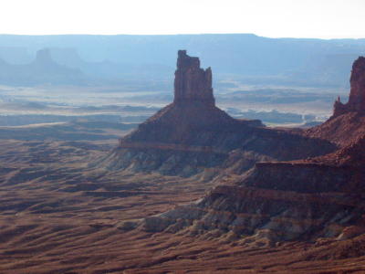
Airport Tower from Airport Campground
Mesa Arch
Mesa Arch
Island in the Sky - White Rim Plateau
Sunset on red cliffs
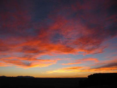
Red skys at night - travelers delight