


|
|
|
|
|
|
| Ruth Moorhead | profile | all galleries >> Galleries >> Topography | tree view | thumbnails | slideshow | map |
 |
 |
 |
 |
||
 |
 |
 |
 |
 |
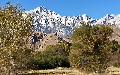 Whitney View from Lone Pine |
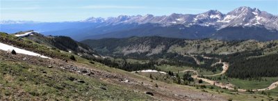
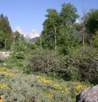
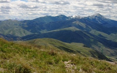
Impressive Stretch of Sierra Peaks |
 |
 |
 |
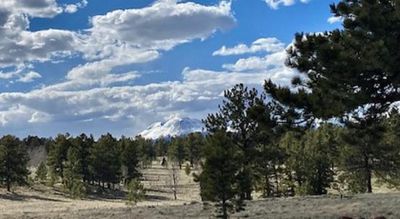 |
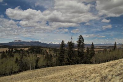
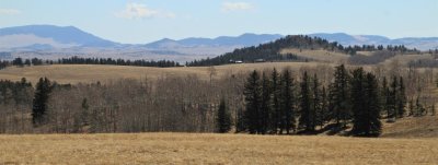
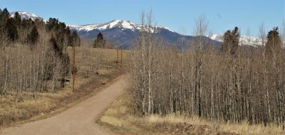
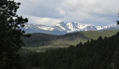
 Pike's Peak from Woodland Park |
 |
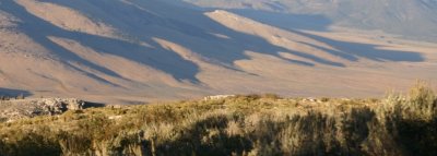
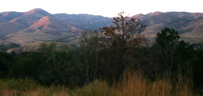
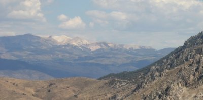
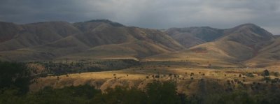
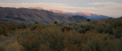
 Humboldt Range Gleams in Setting Sunlight |
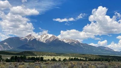
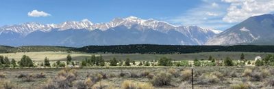
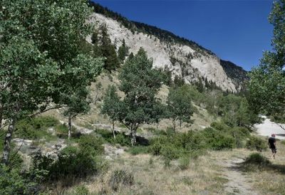
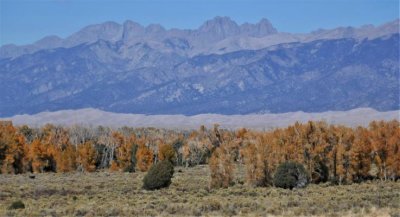
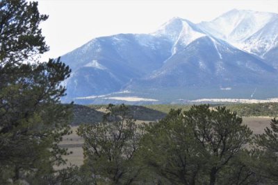
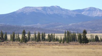
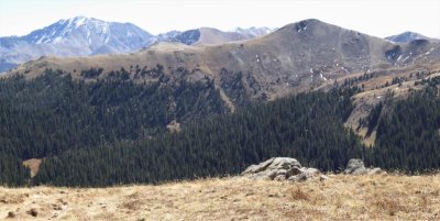
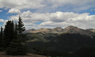
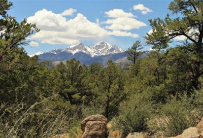
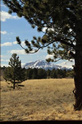
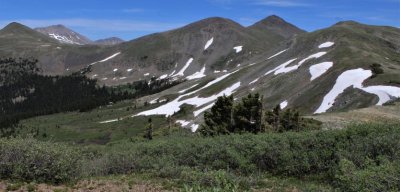
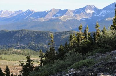
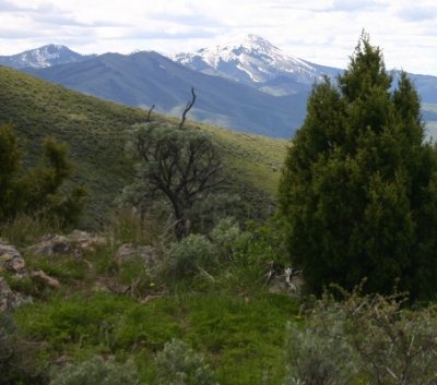
 Toward Mt. Antero |
 |
 |
 |
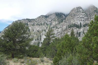
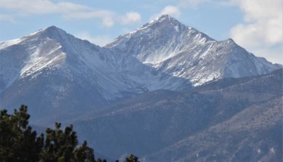
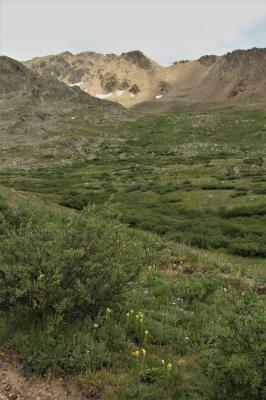
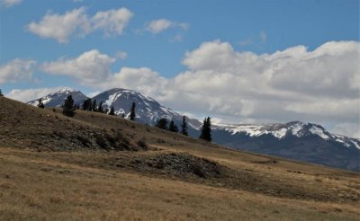
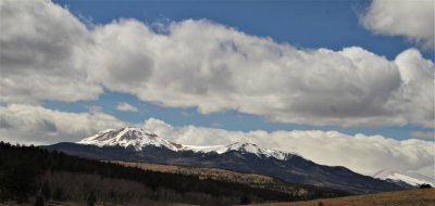
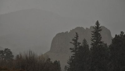
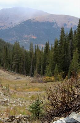
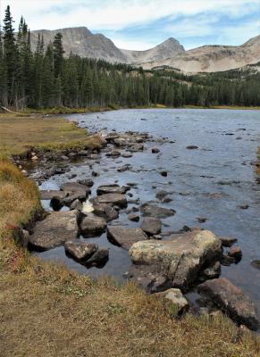
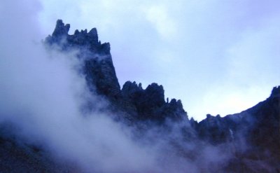
 Mount Antero, Misty |
 |
 |
 |
 |
 |
 Mt. Cleveland |
 |
 |
 |
 |
 |
 |
 |
 |
 |
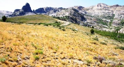
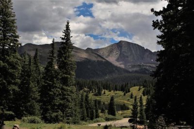
 Mascot Peak, Mount Yale, and Point 13,105 |
 |
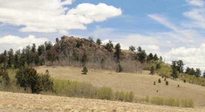
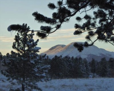 Goodnight, Mountain |
 |
 |
 Mt. Silverheels |
 |
 |
 |
 |
 |
 |
 |
 |
 |
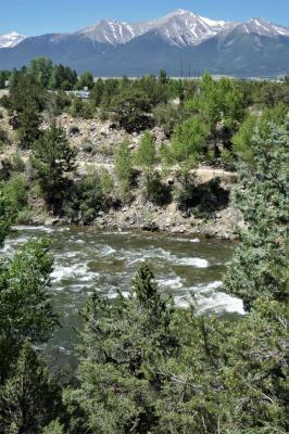
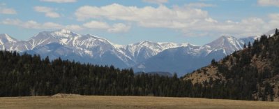
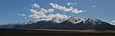
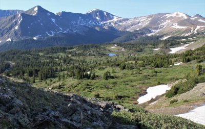
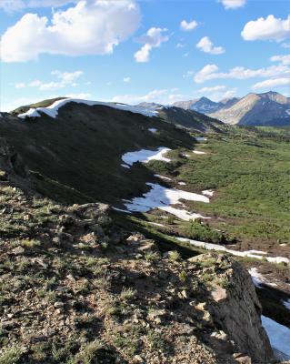
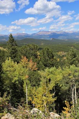
 Collegiate Peaks, Chaffee County, Colorado |
 |
 Pacific Peak |
 |
 |
 |
 |
 |
 |
 |
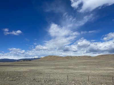
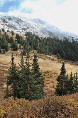
 End-of-May Snow on Mosquito Range |
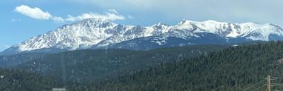
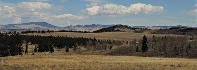
 Pike's Peak |
 |
 |
 |
 |
|
 |
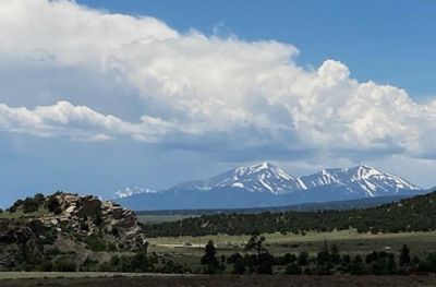
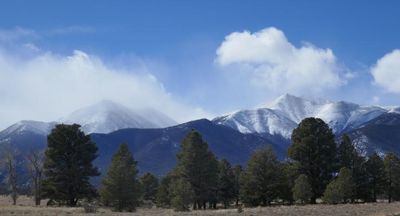
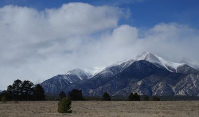
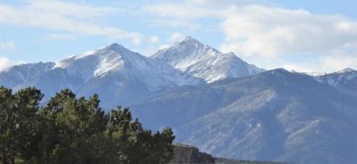
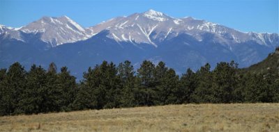
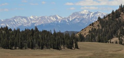
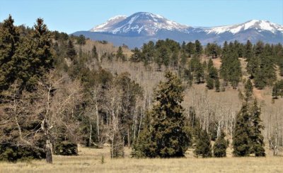
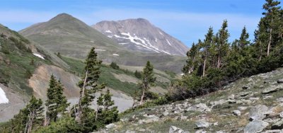
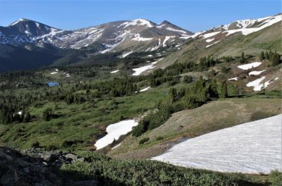
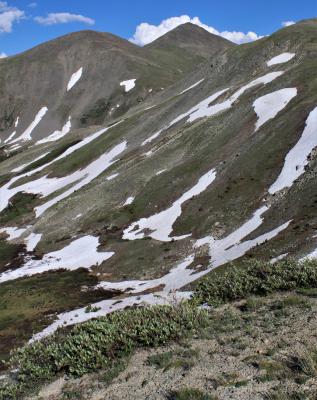
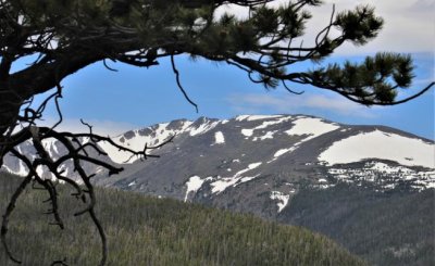
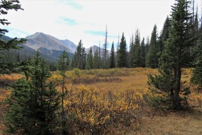
 Mt. Antero |
 |
 |
 |
 |
 |
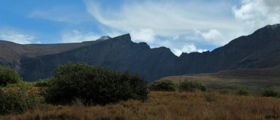
 West and East Buffalo Peaks |
 |
|||
 |
 |
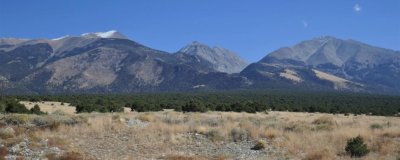
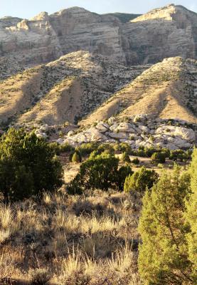
 Mt. Princeton from Recycling Center |
 |
 |
 Buffalo Peaks |
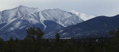
 Mt Princeton |
 Mt. Princeton from Whipple Trail |
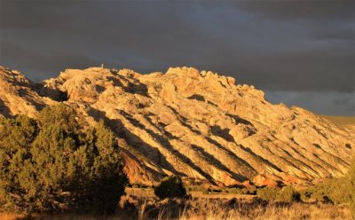
 A Castle in the Rain |
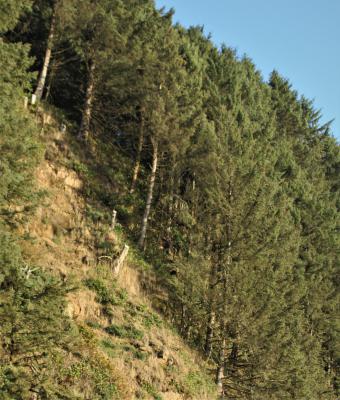 Hillside across Highway from Heceta Lighthouse |
 |
|
 |
 |
 |
 |
 |
 |
 |
 |
 |
 |
 |
 |
 |
 |
 |
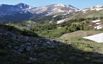
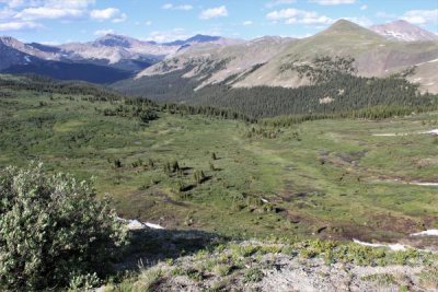
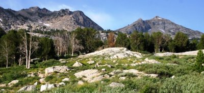
 Collegiate Peaks |
 |
 |
 |
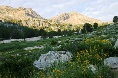
 Collegiate Peaks Wilderness |
 |
 |
 |
 Fall Mountain from Fish Creek Trail |
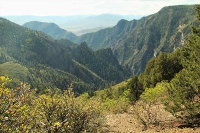
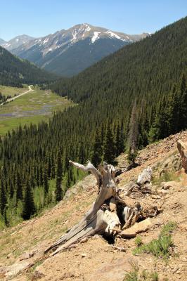
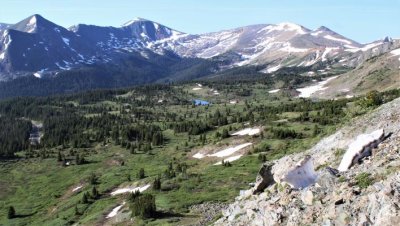
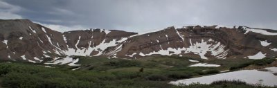
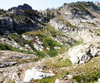
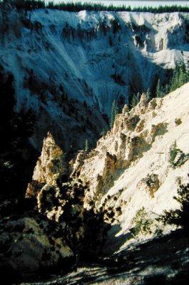
 A Look into a Glacial Past |
 |
 Stormy Peaks, Pingree Park |
 Sacramento Mountains |
 |
|
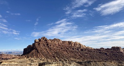
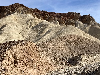
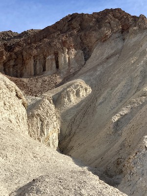
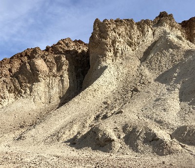
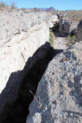
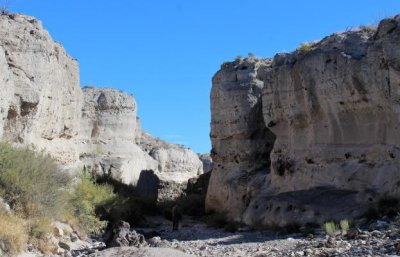
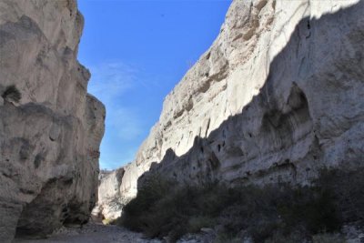
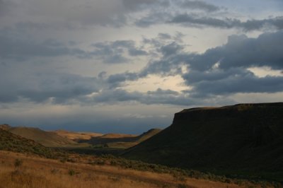
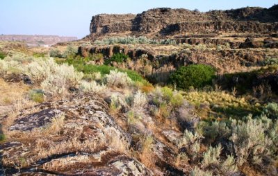
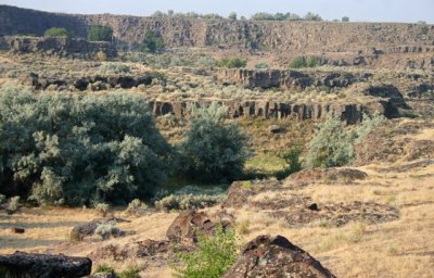
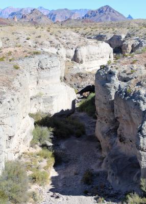 Tuff Canyon |
 |
 |
 |
 |
 |
 |
 |
 |
 |
 |
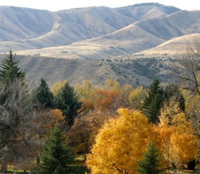
 Mountain Backdrop, Granby |
 Mt. Sopris |
 Red Mountain, White |
 |
 |
 |
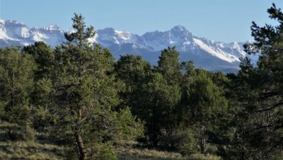
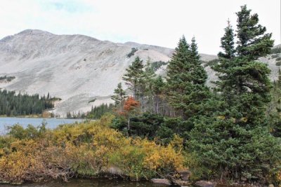
 The View to Mt. Audubon |
 |
 |
 |
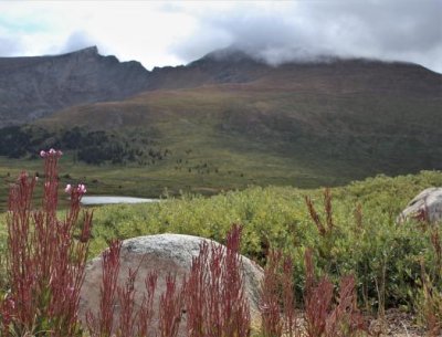 Toward Mt. Bierstadt |
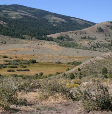
 South from Monitor Pass Summit |
 |
 |
 Horseshoe Mountain |
 |
 View from Ute Trail |
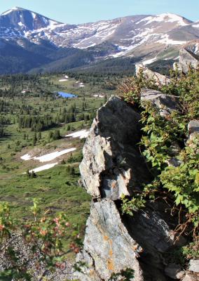
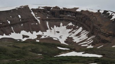
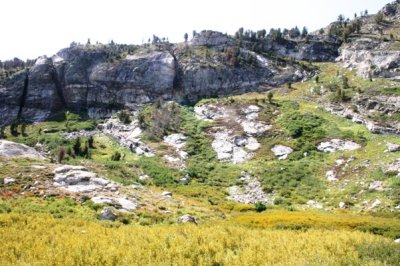
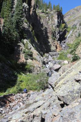
 Glacier Work |
 |
 |
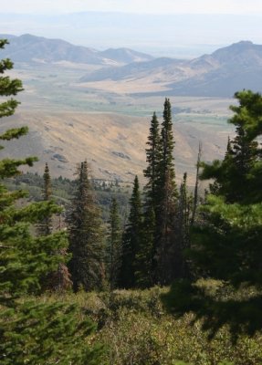
 Toward Chama Basin |
 |
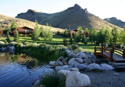 Living Waters Ranch |
 Along Garden Creek |
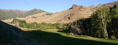
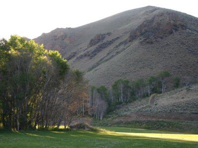
 From the Golf Course |
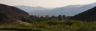
 The Road into Morning |
 Haloed Massif |
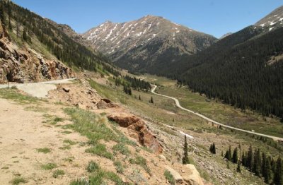
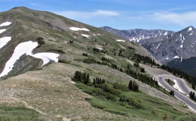
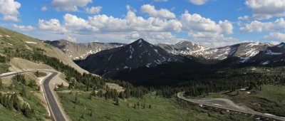
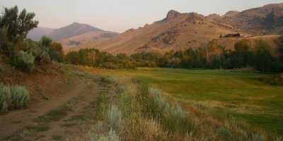
 Top of the road |
 |
 |
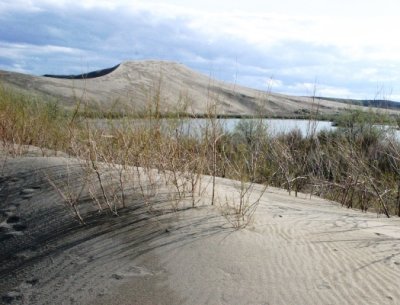 |
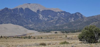
 Dune from a Distance |
 |
 Leaving Mt. Independence |
 Scout Mountain from Kirkham Trailhead |
 Ready for Summer |
 Dawn on Western Hills, September 2007 |
 Just Up from West Center Street |
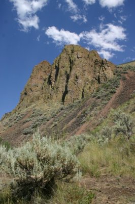
 Canyon Wren Cliff |
 Up the Trail into Summer |
 Snake River Welcomes Morning |
 Something on Every Inch |
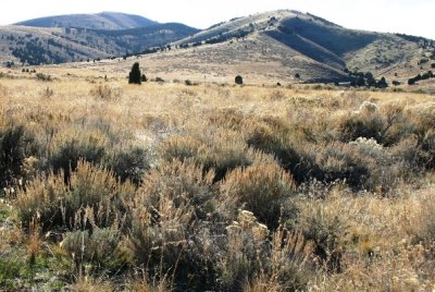
 Mountains South of Pocatello |
 Chinese Peak from Kirkham Trail |
 |
 |
 |
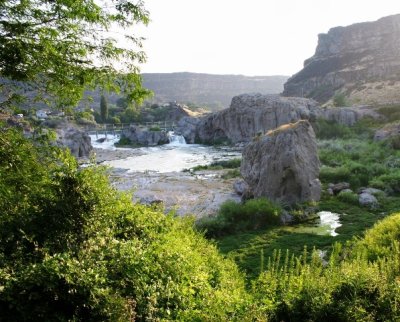 Shoshone Falls Coming into View |
 Above Shoshone Falls |
 Basalt Stairsteps |
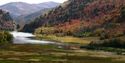 Bear River in Fall Regalia |
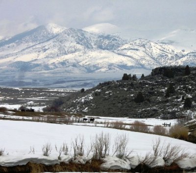 From Marsh Valley in March |
 Goodenough Canyon |
 Salmon River Backdrop |
Pocatello's Southern Hills |
 View East from Coldwater Rest Area |
Picabo Sunset |
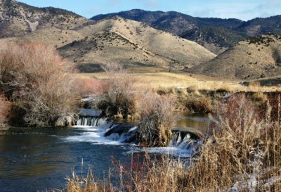 Cascades in the Portneuf River |
 Hills in Early Snow |
 Snowline Recession |
 From East of Inkom |
 The Far Edge of Winter |
 Western Hills, from Ridgecrest Apts. |
 Toward Chinese Peak and Portneuf Gap |
 |
 Alpenglow from Nordic Center |
 View from the Lift (Subalpine Firs) |
 Above Inkom |
 |
 East toward Green Creek Watershed |
 Looking West from Inkom |
 |
 |
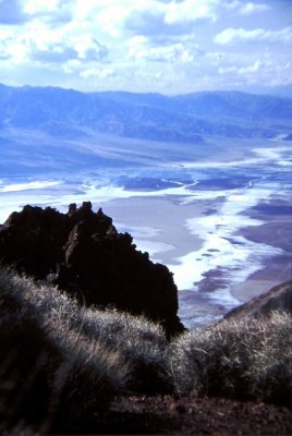
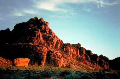 Valley of Fire State Park |
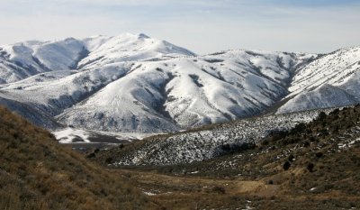
 Mountains of White, Western Nevada |
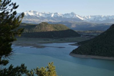
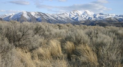
 Great Basin National Park |
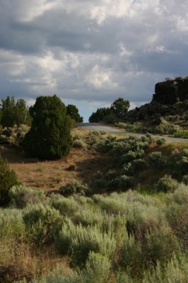
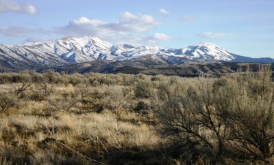
 Trailhead at road's end |
 |
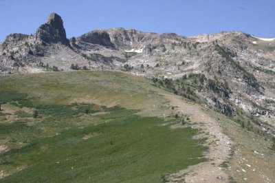
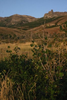
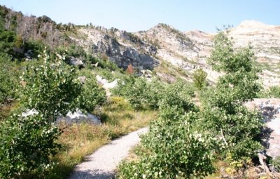
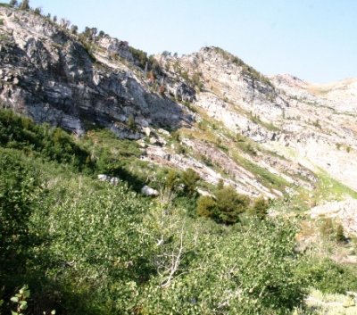
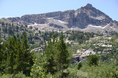
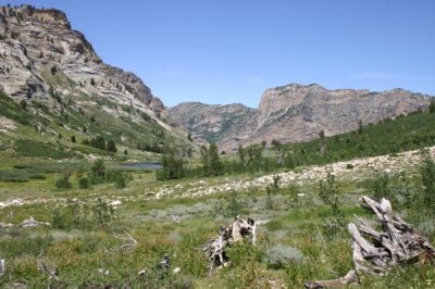
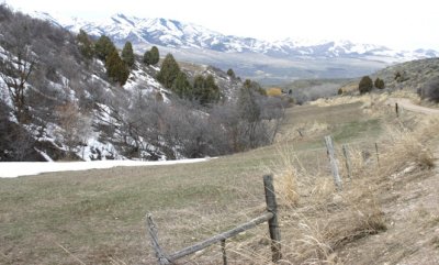
 Lamoille Canyon Wall |
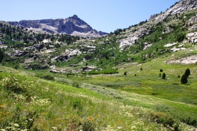
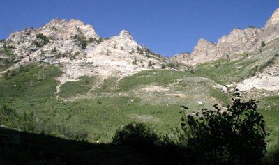
 View from the Ridge |
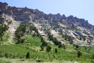
 It's all Slopes and Angles up Here |
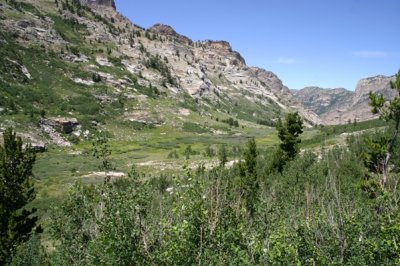
 From Ridge to Wilderness |
 The Ridge |
 Late Evening Light, Angel Creek |
 |
 Willow Gardens in the Chutes |
 Angel Lake from the Ridge Above |
 Chutes behind Angel Lake |
 |
 |
 |
 From the Thomas Creek Trail |
 |
 From Thomas Creek Trail to Ramparts Flanking Campground |
 Mt. Fitzgerald |
 Chutes...No Ladders |
 |
 |
 |
 |
 |
 Estero Road, 1971 |
 Fallen Hero |
 Hwy 4 |
 Mt. Hoffman Trail in Yosemite Nat'l Park |
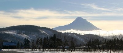
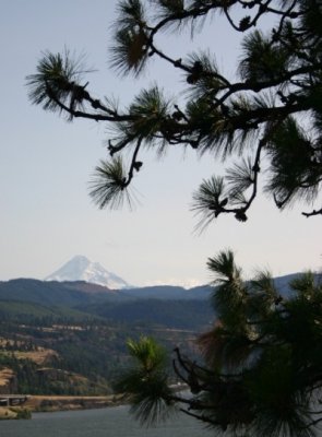 Mt. Hood from across the River |
 Mount Hood |
 From Cabbage Hill |
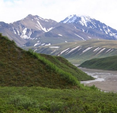
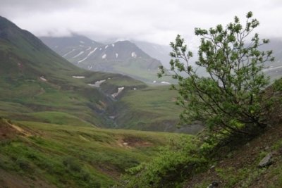 Denali National Park |
 |
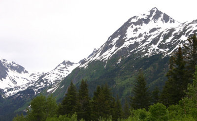 Approaching Seward |
 Pocatello Hills Through Window |
 Almost to the Mountains |
 Yellowstone National Park |
 |
 |
 Summerlit McCammon Hills |
 South from Kirkham Trailhead |
 Scout Mountain from Chinese Peak |
 |
 View of Scout Mountain |
 |
 |
 Bonneville Range from Chinese Peak |
 Toward Mt. Putnam from Chinese Peak |
 Northern end of Deep Creek Mountains |
|
 Deep Creek Peak |
 South Putnam Mountain |
 Northward from Castle Rocks |
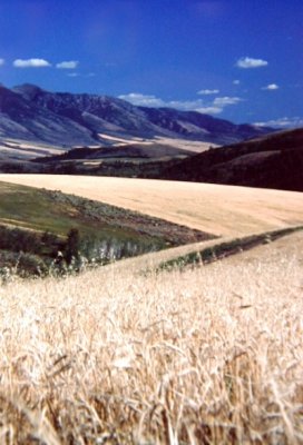
 Harvested Oatfield, Wood Canyon |
 |
 |
 |
 Toward Kinport Peak |
 Southeast from Pocatello's Western Hills |
 Last Rays on Portneuf Range |
 Toward Cusick Creek |
 Down in the Valley |
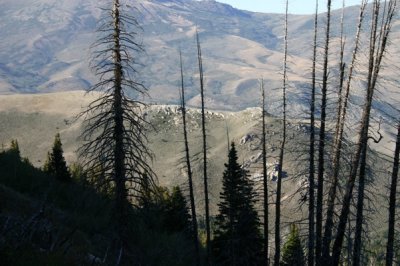 Burned Trees Screen Mt. Harrison |
 |
 |
 |
 The Blackfoot River is at the Bottom |
 Pocatello Range |
 |
 West of the Giants |
 Toward Fort Hall Mine Road |
 Across the Valley from Blackrock Canyon |
 Bannock Range |
 |
 Retreating from Spinners' Farm |
 |
 |
 Hiking trail around Dierke's Lake |
 |
 |
 |
 Those Decorated Slopes |
 Mink Creek Valley, Franklin Co |
 Looking East from City Creek Trail |
 |
 |
 |
 Ribbons of Distance |
 Wildhorse Mountain |
 Toward Kinport Peak from Barton Road |
 SW from Barton Road |
 Hilltop through Trees, Oneida County |
 Mt. Callaghan? from Campground |
 |
 |
 |
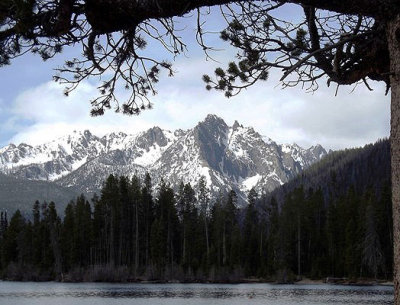 Sawtooths from Redfish Lake |
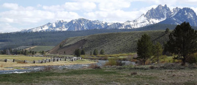 Sawtooth Mts. from Valley South of Stanley |
 |
 Jackson Creek Drainage |
 |
 Mountainous Luxury |
Away...and Away...and Away |
 Deep Creek Mountains |
 View from Morgan Creek |
Pahsimeroi Mountains at Pennal Gulch |
 Meadow Lake |
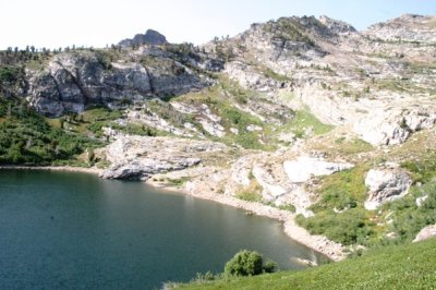
 Pond and Bog at 9500' |
Pocatello's Western Hills |
 Portneuf Range |
 |
 West from Scout Mountain's Summit Ridge |
 |
 |
 Late Light on Mt. Fitzgerald |
|
 Ruby Mountains |
 Portneuf Range |
 |
 Impressive Scarp |
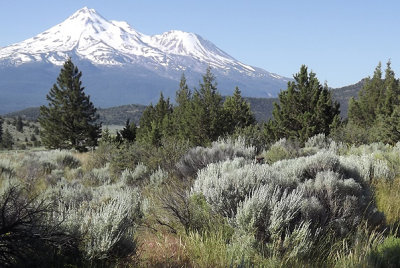 Mount Shasta |
Three Sisters |
 Pahsimeroi Mountains |
 Lost River Range |
 As Close as I got to Mineral King? |
 |
 |
 |
 Late-afternoon Light |
 View from Chimney Rock Trail |
 |
 |
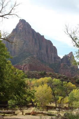 The Watchman Oversees Morning |
 |
 |
 |
 |
 |
 |
 |
 |
 |
 |
 |
 |
 Siskiyou Mountains in Oregon |
 |
 |
 |
 |
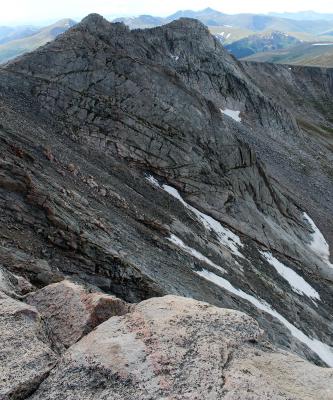 Mt. Bierstadt from Mt. Evans |
 |
 |
 |
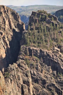
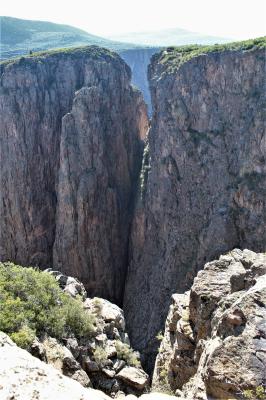
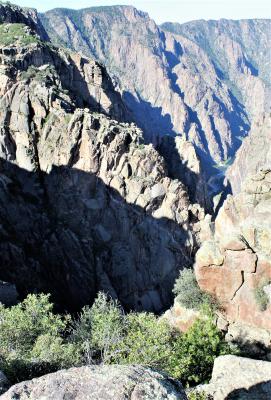
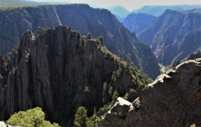
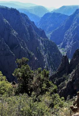
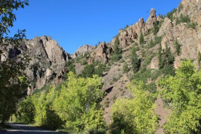 River Level, East Portal |
 |
 |
|
 |
 |
 |
 |
 |
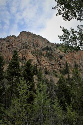
 Ute Mountain from Sheep Creek Canyon |
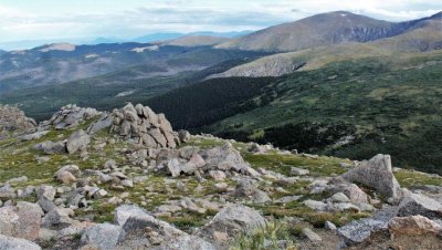
 Toward Mt Blue Sky |
 |
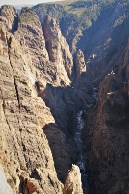
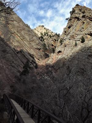 Climbers' Access Bridge |
 |
| comment |
| Gill Kopy | 25-Nov-2017 04:27 | |
| joseantonio | 15-Jul-2014 05:39 | |
| Eileen | 20-Apr-2010 10:41 | |