


|
|
|
|
|
|
| Dave Thomas | profile | all galleries >> Out and About in Southeastern PA >> Rail Trails, Etc. >> Schuylkill River Trail | tree view | thumbnails | slideshow |
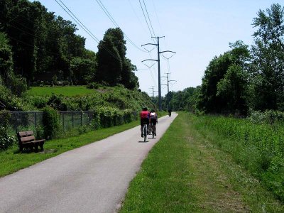
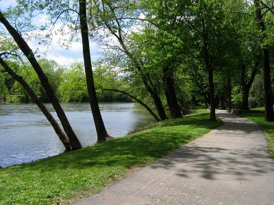
The Schuylkill River Trail has a few unfinished sections, but when completed will run more than 100 miles through five counties. The end points are Philadelphia and Pottsville. The trail is the backbone of the Schuylkill River Heritage Area and has come about through the cooperation of many state, county and municipal agencies and conservation groups.
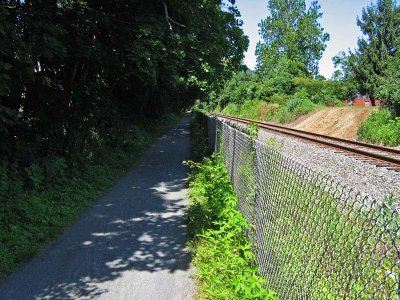
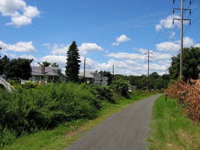
The trail is routed mostly over the right of way and bridges of the former Pennsylvania Railroad Schuylkill Branch. As of 2015, there are a number of incomplete sections and a few short stretches routed over public roads of low traffic density.
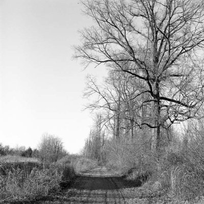
At Oaks, the trail intersects the southern terminus of the Perkiomen Trail, a recreational trail paralleling the Perkiomen Creek and largely routed over the former Reading Railroad Perkiomen Branch right of way. That trail is complete up to Green Lane, about 20 miles, over a route that connects several county and state parks, as well as some side trails.
:: Norristown to Oaks :: |
:: River Trail - Betzwood :: |

:: Oaks to Mont Clare :: |
:: Phoenixville Towpath :: |
:: Phoenixville to Pottstown :: |
:: Pottstown to Birdsboro :: |
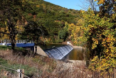
:: Birdsboro to Gibraltar :: |
:: Gibraltar to Reading :: |
:: Leesport North :: |
:: Kernsville Dam Wildlife Area :: |