


|
|
|
|
|
|
| Dave Thomas | profile | all galleries >> Out and About in Southeastern PA >> Rail Trails, Etc. >> Schuylkill River Trail >> Phoenixville Towpath | tree view | thumbnails | slideshow |
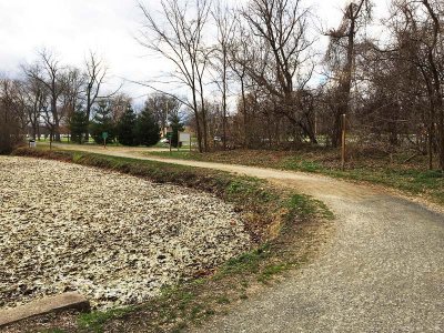
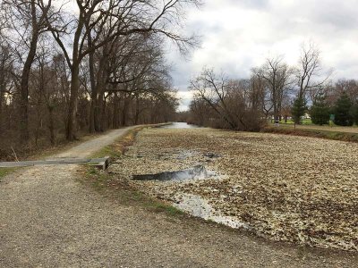
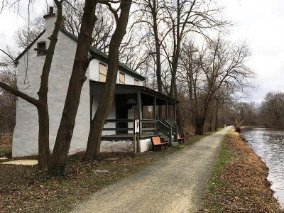
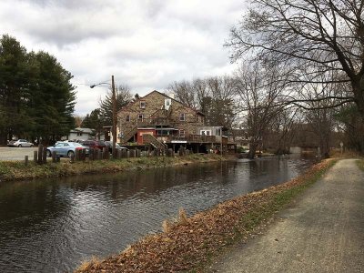
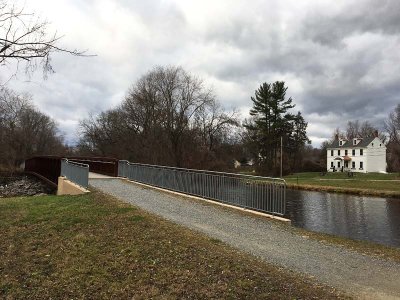
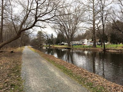
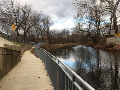
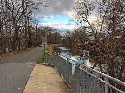
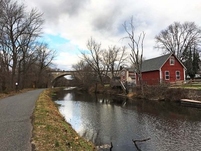
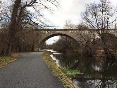
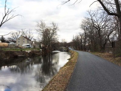
This stretch in Upper Providence opened in 2015, initially as a side trip off the main Schuylkill River Trail, but may be targeted to replace the on-road stretch approaching Phoenixville and Mont Clare. It runs between and parallel to the river and the canal which is extant and filled in this stretch. The path runs from the parking area off Longford Road near the Reynolds Dog Park, north/west to Lock 60 near Mont Clare and beyond. Further on, as the Upper Schuylkill River Trail, it goes all the way to Route 113 at Montgomery County's Upper Schuylkill Valley Park. The previous Schuylkill River Trail route was established to run on Upper Providence Road and Walnut Street to Mont Clare.
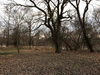
The first traverse of this trail Ye Olde Photographer was on foot checking his smart phone pedometer(!) on a warmer than normal, but somewhat brisk December day. He walked from the "the dog park" off Longford Road up to Bridge Street in Phoenixville and on to, and a short ways past, the former Pennsylvania Railroad concrete arch bridge. We'll catch the rest one of these days, probably with the bicycle, and maybe in a greener — and warmer — season.
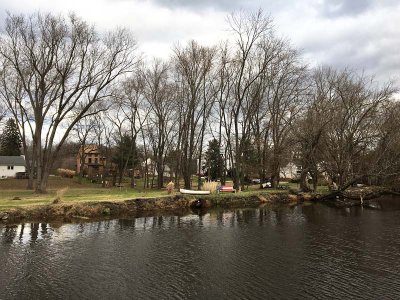
 Downstream End |
 |
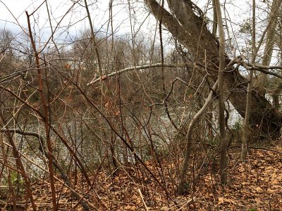
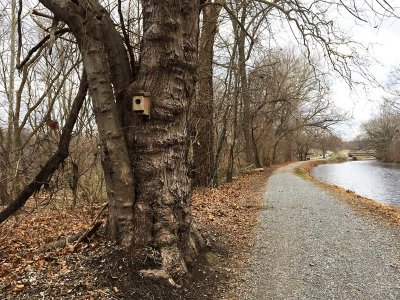
 Trailside Tree |
 |
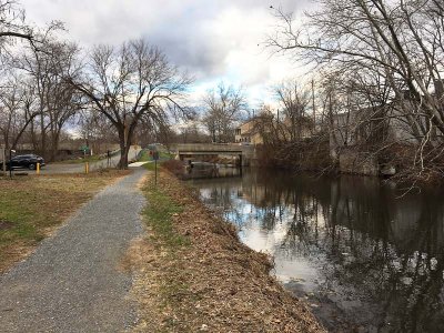
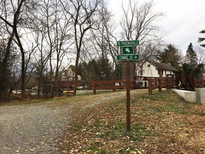 Decision Point |
 |
 |
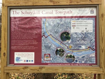 Info |
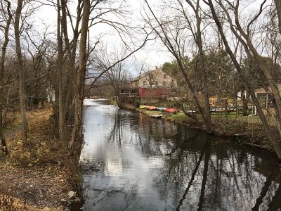
 Twixt the Waters |
 |
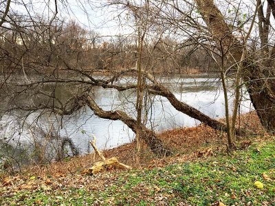
 Flood Plain |
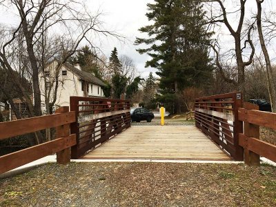
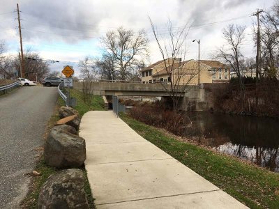
 Spillway Bridge |
 |
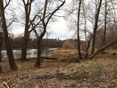
 River View |
 |
 |
 |
 |
 |
 Bridge Street |
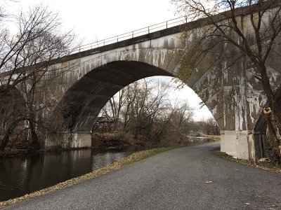
 From Under Bridge |
 Shared Use |
 |
 Railroad Bridge |
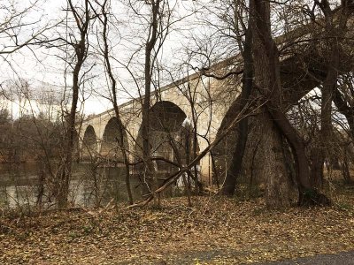 Over the Schuylkill |
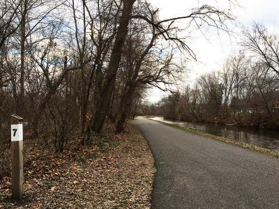 Milepost 7 |
 Looking Back |
 Bridge Street |
| joseantonio | 04-Dec-2016 20:58 | |