


|
|
|
|
|
|
| Dave Thomas | profile | all galleries >> Out and About in Southeastern PA >> Rail Trails, Etc. >> Schuylkill River Trail >> Oaks to Mont Clare | tree view | thumbnails | slideshow |
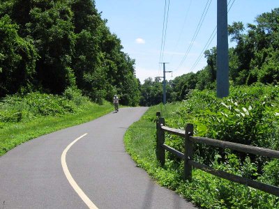
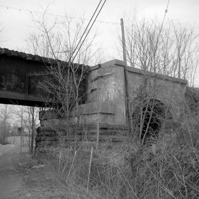
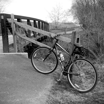
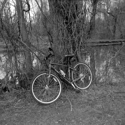
This section appears to deviate from the former Pennsylvania RR right of way, running closer to the Schuylkill River and looping around the former industrial sites in the vicinity of Oaks, PA. Currently, the trail makes the transition to lightly traveled roads going west from Longford Park (Upper Providence Twp.) Ye Olde Photographer has no idea if there may be plans to separate the trail. There are odds and ends of the bridges and former right-of-way still visible. The initial shots here were taken in B&W with a Perkeo II folding camera, working in conjunction with getting the aging body accustomed to a newly acquired Cannondale Quick 5, a machine far more suited to these trails than the venerable old Fuji road bike. The day was unseasonably warm in early April, though cloudy and bereft of greenery.
Mont Clare is across the Schuylkill from Phoenixville and is the site of a preserved stretch of the old Schuylkill Navigation canal and Lock Number 60.
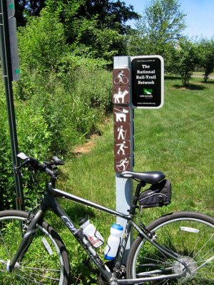 Sign |
 Looking East |
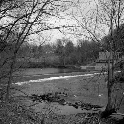 Dam on Perkiomen |
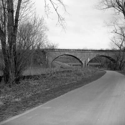 1910 PRR Bridge |
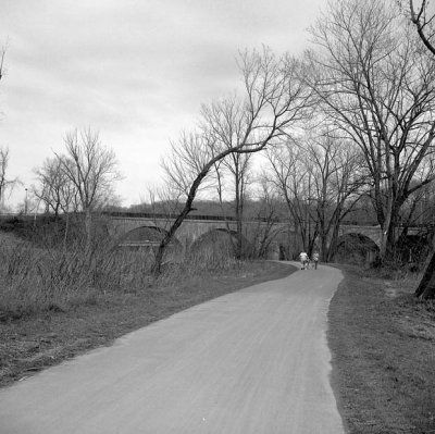 Trail Near Oaks |
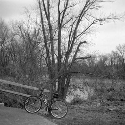
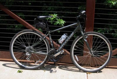 Quick 5 |
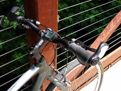 Quick 5 Bars |
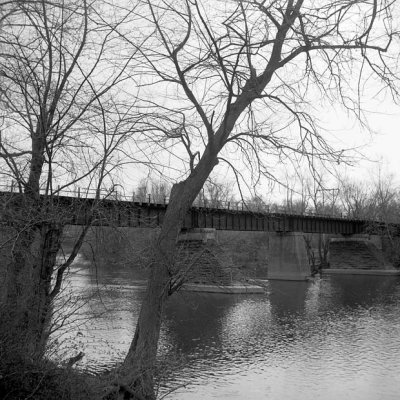
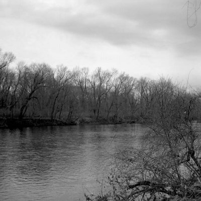
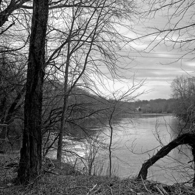 Schuylkill River |
 North End |
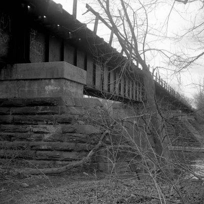 RR Bridge |
 Old RR Bridge |
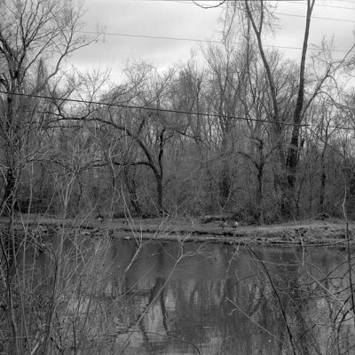
 Along the Schuylkill |
 A Quick Stop |
 Schuylkill River View |
 Schuylkill and Geese |
 Along the Schuylkill |