


|
|
|
|
|
|
| Don | profile | all galleries >> # more Australian landscapes # >> # Great South-West Road Trip # >> # Leeuwin-Naturaliste landscapes # | tree view | thumbnails | slideshow |
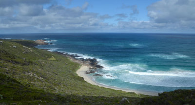 Indian Ocean coast |
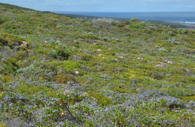
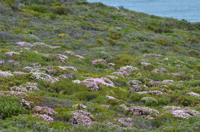
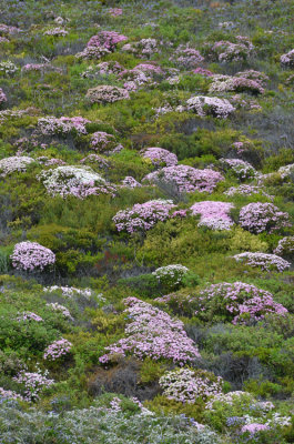
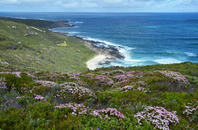 coastal heath |
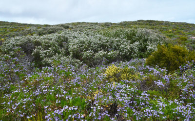
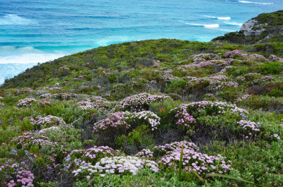 coastal heath |
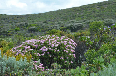 coastal heath |
Indian Ocean calm |
 coastal heath |
 coastal heath |
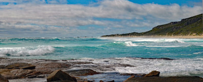
 Indian Ocean coast |
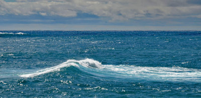
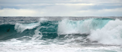
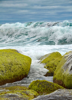
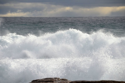
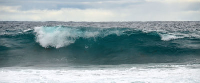
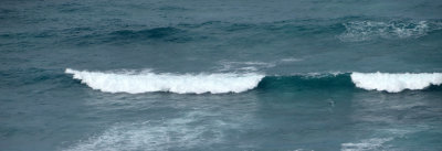 wave |
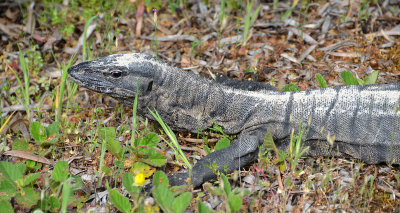 Heath Monitor (Varanus rosenbergi) |
 coastal heath |
 coastal heath |
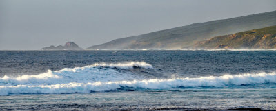
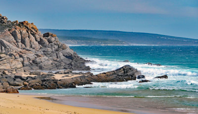
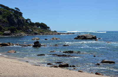
 beach and escarpment |
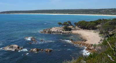
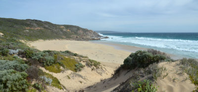
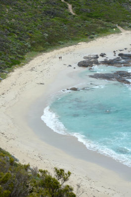 Conto Beach |
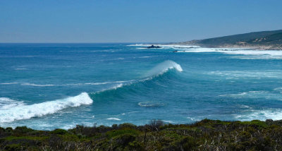
 Indian Ocean wave |
 coast |
 coast |
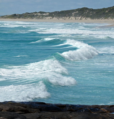
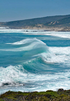
 wave |
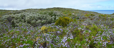 coastal heath pano |
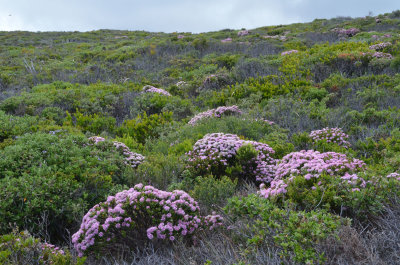 coastal heath |
 coastal heath |
 coast |
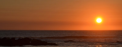
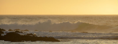 Yallingup sunset |
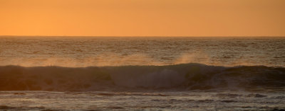 Yallingup sunset |
 Yallingup sunset |
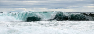
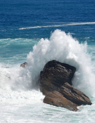 crash |
 Indian Ocean coast |
 Indian Ocean coast |
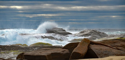
 breaking |
 Bunker Bay |
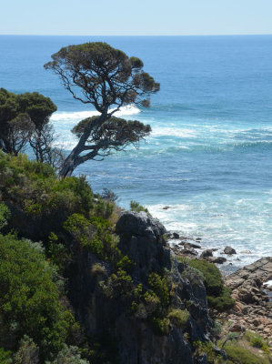
 Leeuwin-Naturaliste coast |
 Leeuwin-Naturaliste coast |
 Leeuwin-Naturaliste coast |
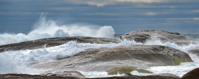
 wave1 |
 wave2 |
 Bunker Bay |
 Bunker Bay |
 Yallingup |
 Yallingup |
coastal heath |
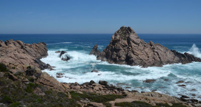 Sugarloaf Rock |
 breaker |
Yallingup sunset |
| comment |
| danad | 22-Aug-2020 08:21 | |
| George McCarten | 17-May-2020 02:31 | |
| Zoltán Balogh | 14-May-2020 07:32 | |
| Torben Jorgensen | 10-May-2020 14:50 | |
| Paolo Peggi (aka Bracciodiferro) | 09-May-2020 21:59 | |
| Nestor Derkach | 03-May-2020 14:31 | |
| Tom LeRoy | 02-May-2020 18:03 | |