20-Oct-2019
The Icecream Queue
This queue stayed long the entire afternoon.. seemed like there was only one person
serving, and she probably made the icecream herself, as there were some unusual flavours
offered. Must have been good! None from our group gave it a try - we didn't fancy waiting in that never ending queue. :)
This will be the last image for this gallery - my garden is bursting at the seams with
flowers, I'd better get the canon out and go for a wander on an overcast day!
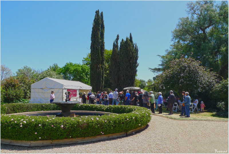
20-Oct-2019
Lily Pond
Directly in front of the station homestead was this lily pond surrounded by a circular rose hedge. Was amazing to see a water display in such a dry area for a garden.
Scroll back a couple of images to see the map of Anlaby homestead and garden.
20-Oct-2019
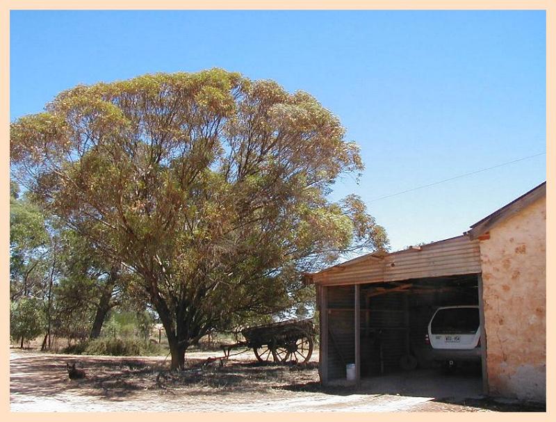
Cosy Corner
Someone obviously lived in this section of the outbuilding... the plants and TV aerial gave it away.
Fancy if it were me having only this much garden - I wouldn't survive!
BUT there was 10 acres of garden surrounding the homestead and outhouses. That's nearly
as much as our entire garden and paddocks combined.
20-Oct-2019
A popular horse
I had trouble managing to catch a photo of "Stormy" the Clydesdale without people
but at least you can see his face in this photo. I hope I don't have problems
taking photos of the 2 children here, but they were very keen to stay and cuddle
the horse. I tried again about an hour later and was successful but rather like this
image better.
20-Oct-2019
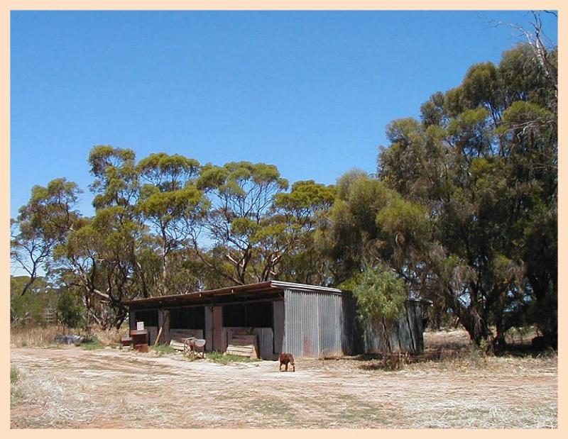
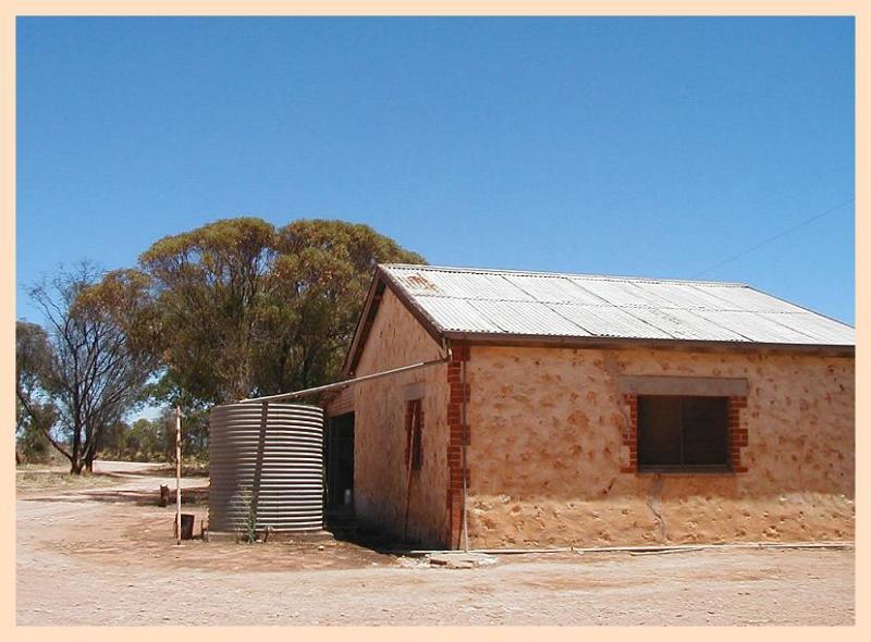
Workers Cottages
Some workers cottages as we entered the home paddock and gardens
of Anlaby Station homestead. We were there for an OPEN DAY to
view some country activities and enjoy the gardens that surround
the main house. A fair distance from any township, during
the horse and cart era people living here would have to live
off the land and only occasionally visit the nearest town.
Anlaby is the home of the oldest Merino Stud in South Australia
21-Oct-2019
Map of Anlaby Statiion
A rather large area for sheep grazing we visited for an OPEN DAY to see the
garden and watch some country activities in action.
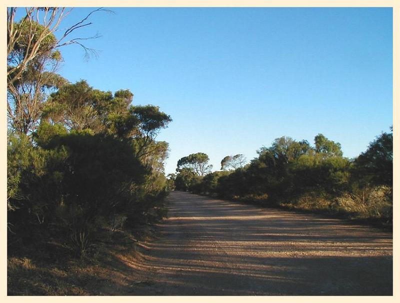
Jan 14 - 2004
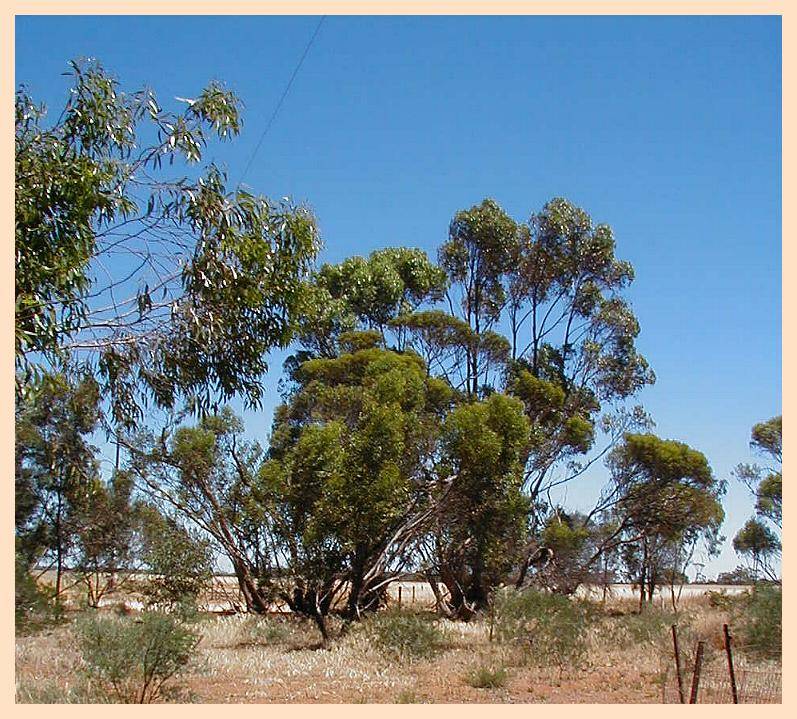
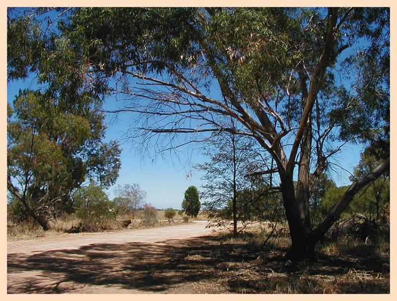
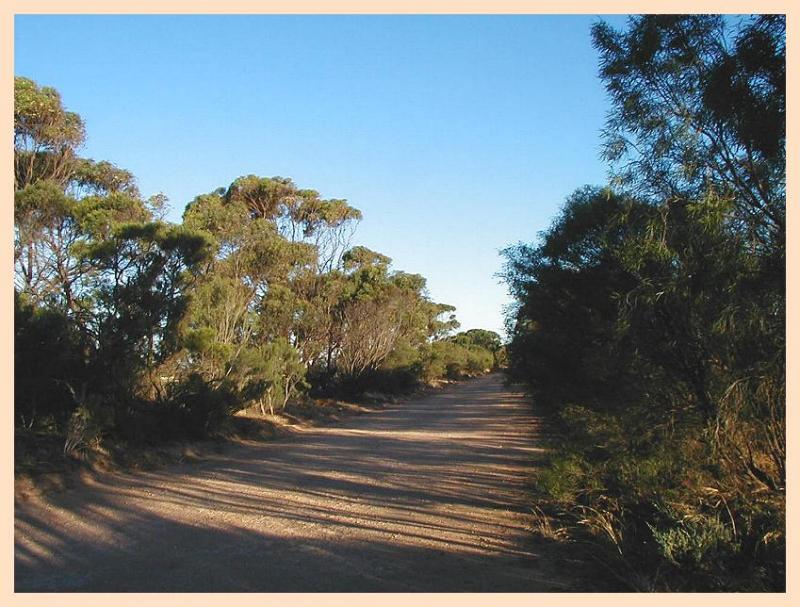
Country road
"Off the beaten track"
A typical country road in Southern Australia
Mallee gums lining the road verges
Jan 14 - 2004
Reapt paddocks
Flat plains under wheat or barley
Jan 14 - 2004
Kurrajong
Brachychiton populneus (syn. Sterculia d.)
commonly grown in small towns & in farm gardens
Jan 14 - 2004
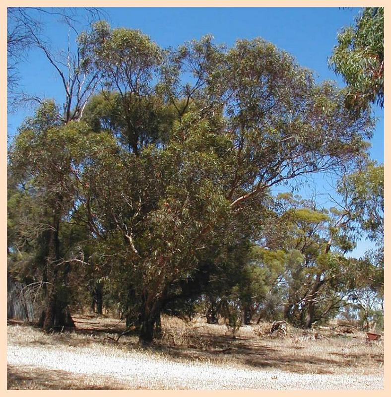
Eucalyptus torquata
Commonly grown in farming towns & as a garden tree
Country road - early evening
Country road - early evening
19-OCT-2005
Bales of Oat Hay near Mallala
A few miles up the road from our
pea-straw supplying friends the
lighting on this paddock of bales
caught my eye.
19-OCT-2005
Archway climber over the garden gate
19-OCT-2005
Marigold growing on the farm
19-OCT-2005
Potplants on the verandah
19-OCT-2005
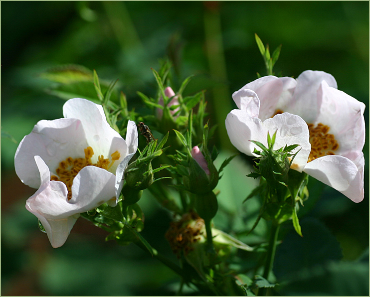
Rosa canina growing on the farm
...and soaking wet from 4" of rain...
09-SEP-2007
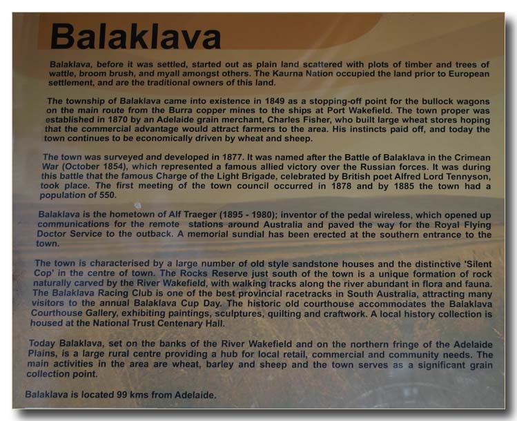
A story about Balaklava
This is the tiny country town in the middle of the wheat growing area most of the photos in this gallery have been taken.
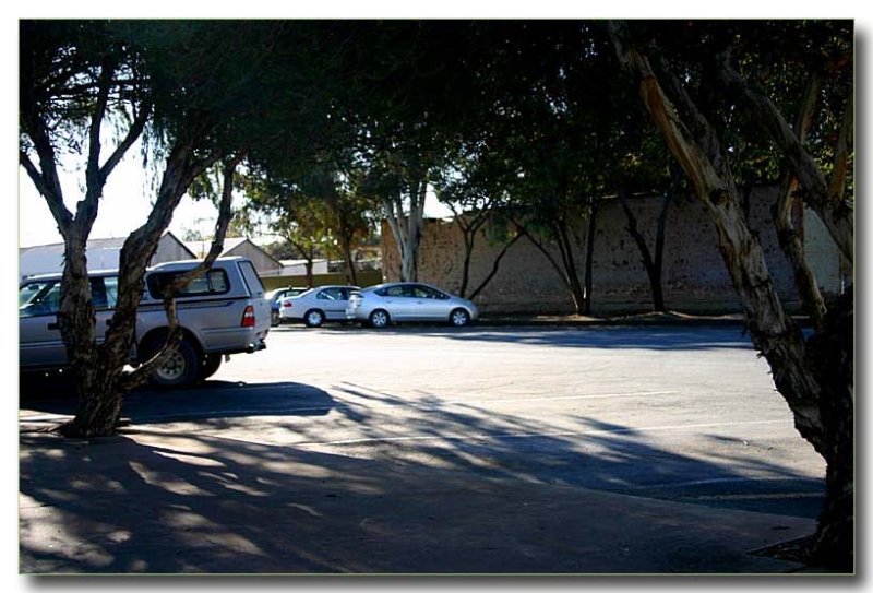
09-SEP-2007
Shady streets in the little township
The summers can be blisteringly hot here and the locals head for the shadiest places
to park their cars.
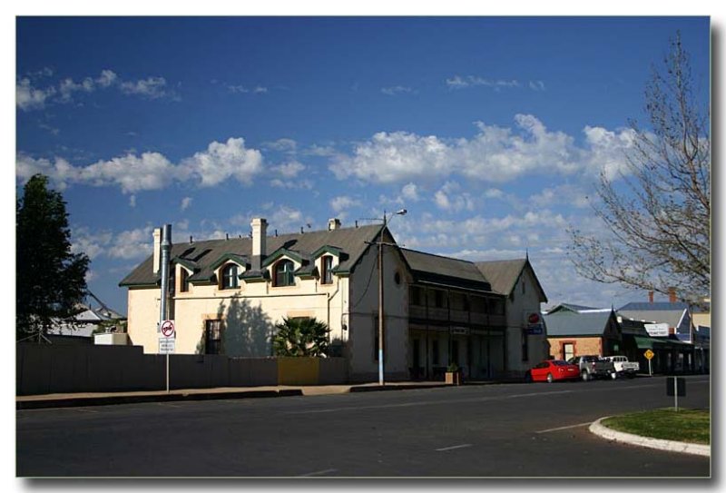
09-SEP-2007
Local hotel
A closer look at the building the pub is housed in
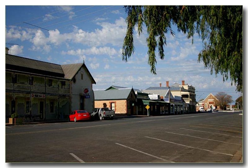
09-SEP-2007
The other side of the road
This includes one of the local pubs and a few other businesses
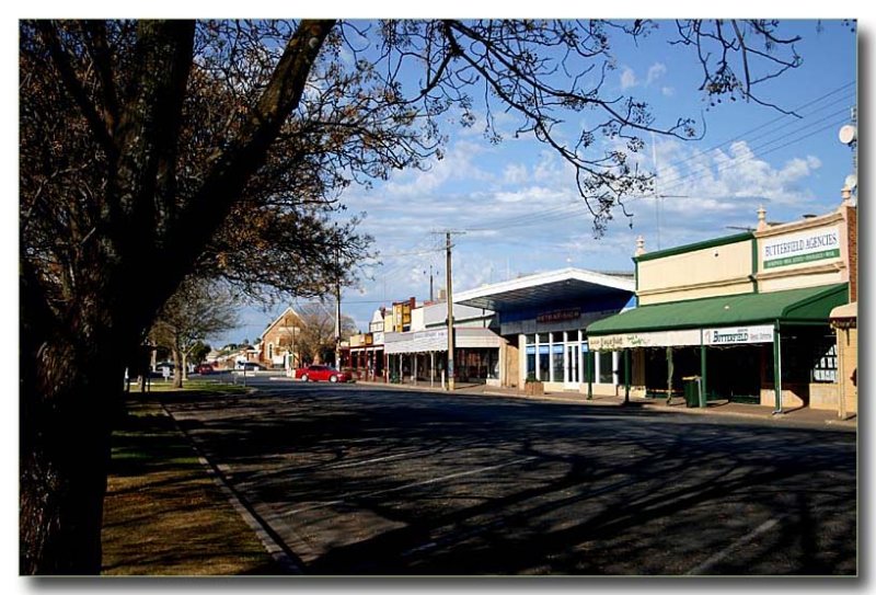
09-SEP-2007
Shopping precinct
Hardly a car on a Sunday, nothing is open, not even a deli!
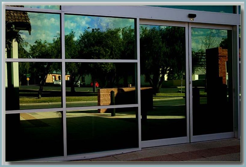
09-SEP-2007
Reflections
The council chambers glass doors on a Sunday
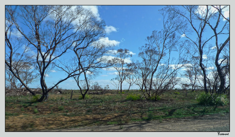
01-MAY-2016
Bushfire damage - a drive-by shot taken at 100-Kph on a fire damaged road.
November 2015 a massive bushfire went through this area, and here you can see some regeneration
happening on the verge of the road. This area is known for growing hard wheat, and in November
many crops were unreaped or partly reaped, with huge machinery often left in situ to follow on
the job the day after. So many crops were lost and the machinery burnt... and as I mentioned
with yesterday's photo..the following story.
We were at a fund-raiser recital for the unfortunate people who
lost everything in the summer fires in the Pinery area of South Australia.
91 homes were destroyed and 2 lives were lost in the blaze spanning more than 82,000
hectares (203,000 acres). Many livestock were killed, including more than 53,000 poultry,
nearly 18,000 sheep, 500 pigs, 87 cattle, 19 horses and five alpacas
Best viewed in original format.
Scroll back to see how this area looked before the fire.
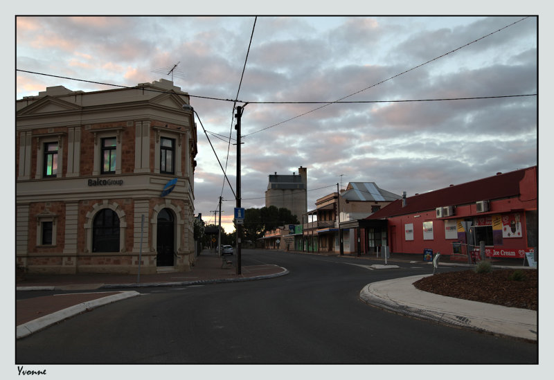
01-MAY-2016
Circling the round-about
Photo taken at almost sunset after the afternoon recital had finished. Balaklava township is north of the Pinery fireground and was saved from the fire by a wind change. It would be one of the main shopping precincts of this area. Of interest to me is how well roses grow in this area, you can just see roses hanging over a fence on the left-side of the street.
Since prehistoric times the Balaklava district has been near the boundaries of the Kaurna and Peramangk (aboriginal) peoples. The first Europeans to traverse the district weas in 1840. They discovered Diamond Lake and encamped near Owen. The first European settlers in the area were James and Mary Dunn who in 1850 opened a hotel to service bullock teamsters carting copper ore upon the Gulf Road between the Burra mine and the export port of Port Wakefield.
The Gulf Road copper ore traffic came to a sudden end in 1857 when a railway connected Gawler to Port Adelaide which provided a more economic path for exporting the ore. The teamster's loads were replaced by a flow of pastoral produce to Port Wakefield, mainly wool and grain. The town was laid out by Charles Fisher in 1869 and named it after the Battle of Balaklava. He built large grain stores on the tramway from Hoyleton to the port at Port Wakefield, intending to encourage farmers to settle near the town. The first Hotel erected in the new township of Balaklava was the Balaklava Hotel, later called the Royal. Thomas Saint borrowed the finances from Thomas James Manton and applied for the Hotel Keepers Licence on 17 November 1870 and was granted licence No.17 of 1871 on 4 April 1871.
Balaklava was first on the 1,067 mm (3 ft 6 in) narrow gauge Port Wakefield railway line which was an isolated horse-drawn tramway inland through Balaklava to Hoyleton. This was eventually taken over by South Australian Railways and converted to steam, as well as being extended at both ends. Balaklava was later considered to be on the Gladstone railway line, with a junction to Port Wakefield. The line to Balaklava from Hamley Bridge (connecting to Adelaide) opened in 1878. It was converted to 1,600 mm (5 ft 3 in) broad gauge in 1927 and still existed as far as Balaklava up to 2002. The last freight on the line was bulk grain in 2004.
As the Balaklava railway station was originally on the Port Wakefield to Hoyleton line, before the railway from Hamley Bridge was built, and that line entered the town from the southeast, trains travelling using the route between Gladstone and Adelaide needed to change direction at Balaklava, as both the north and south lines entered the station from the east, with Port Wakefield being to the west.
The name of the town was originally spelled Balaclava. [Wiki]