


|
|
|
|
|
|
| Tom Kenney | profile | all galleries >> Galleries >> San Gabriel | tree view | thumbnails | slideshow | map |
Images from Southern California's San Gabriel Mountains.
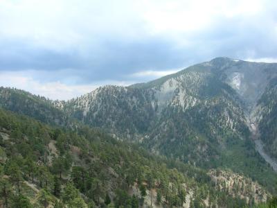
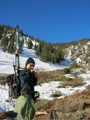
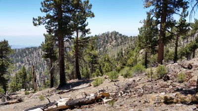
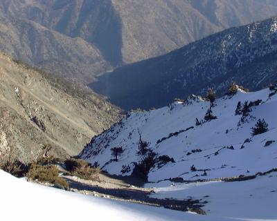 Mine Gulch, Mount Baden-Powell |
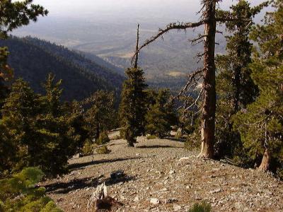
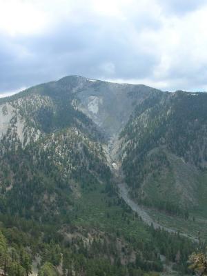
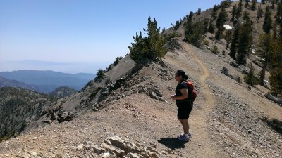
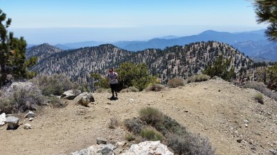
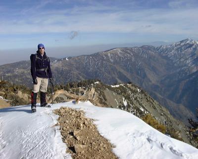 Summit Ridge, Mount Baden-Powell |
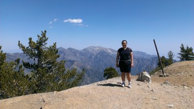
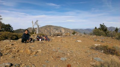
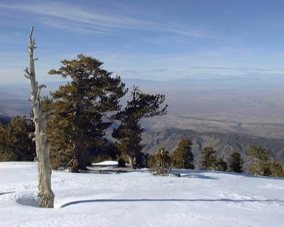 Summit, Mount Baden-Powell |
 Mount Islip in Winter |
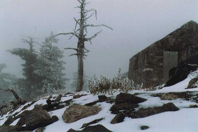
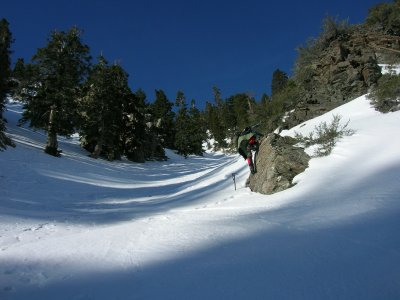
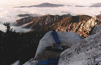 Ledge Camp, Twin Peaks |
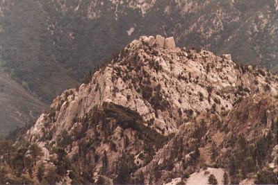 Triplet Rocks |
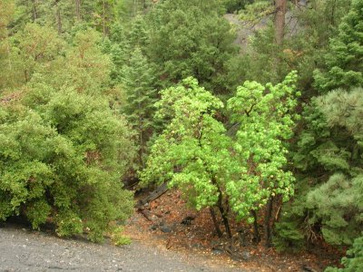
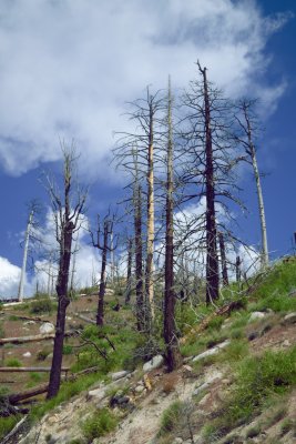
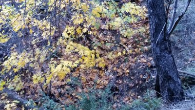
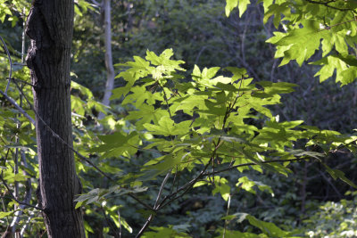
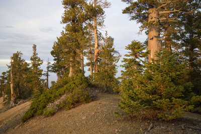
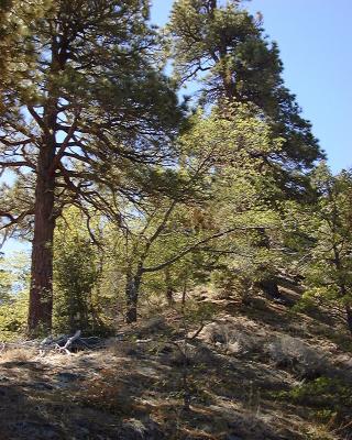 Ponderosa and Black Oak |
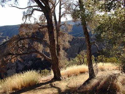
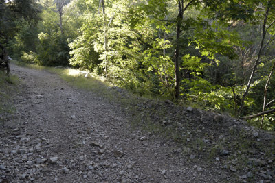
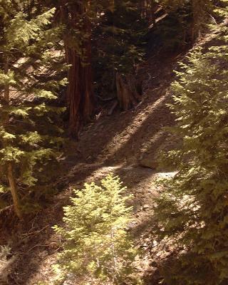 Shadows |
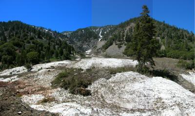
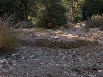
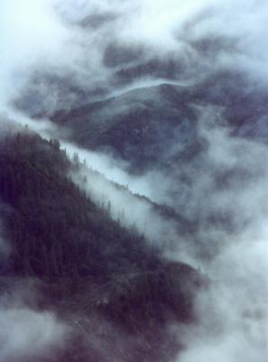
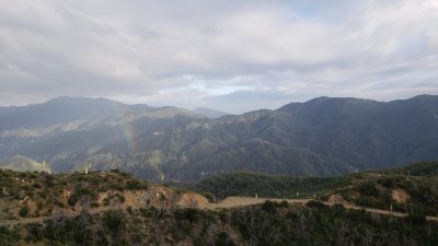
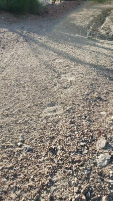
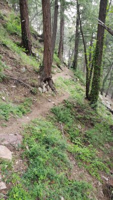
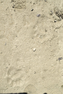
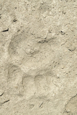
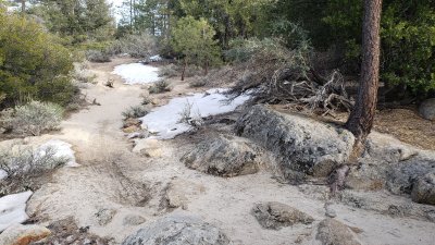
 Alluvium |
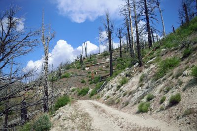
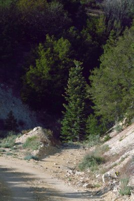
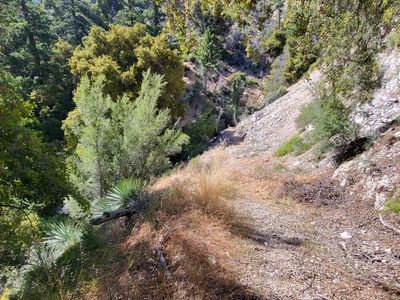
 Devil's Chair Trail |
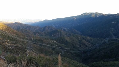
 View from the Tunnels, Angeles Crest Highway |
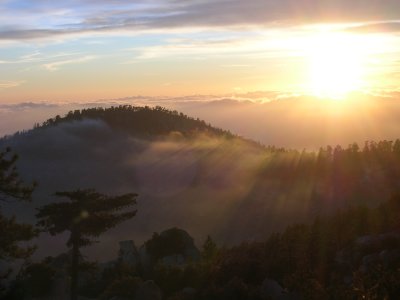
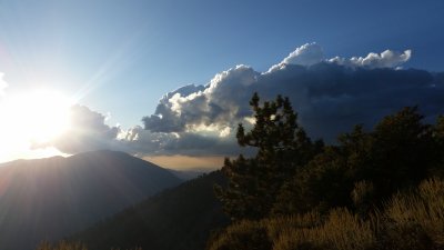
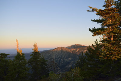
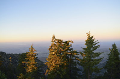
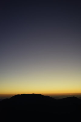
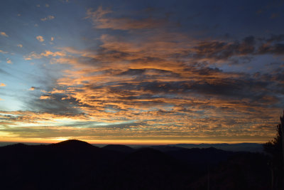
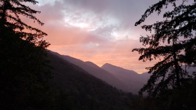
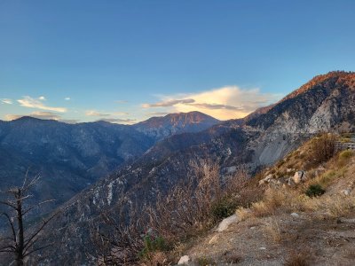
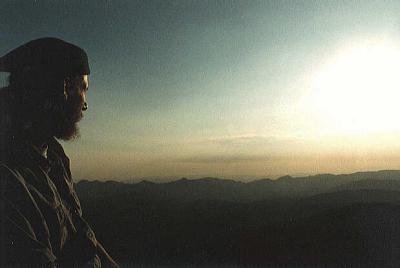 Mount Waterman Sunset |
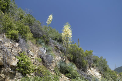
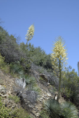
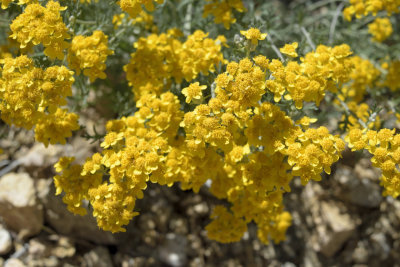
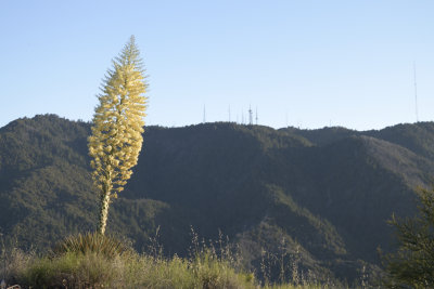
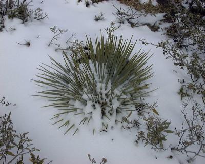 Yucca, Mount Gleason |
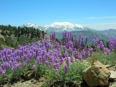
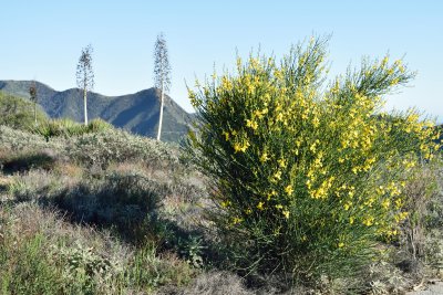
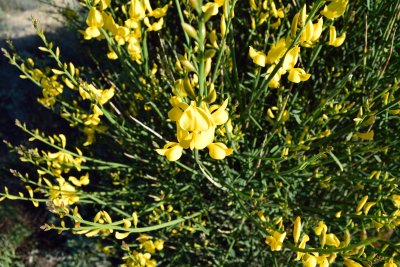
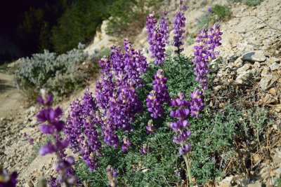
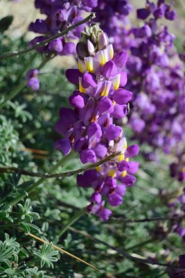
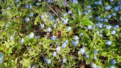
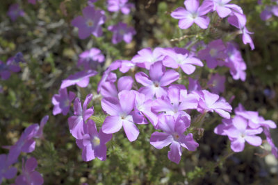
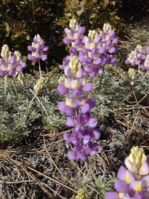 Lupine, Pacoima Canyon |
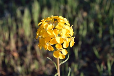
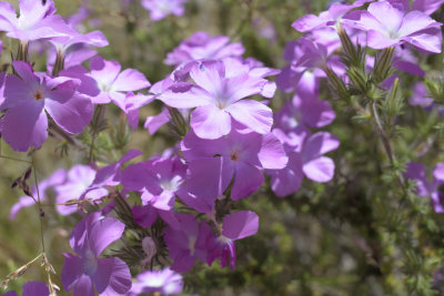
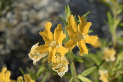
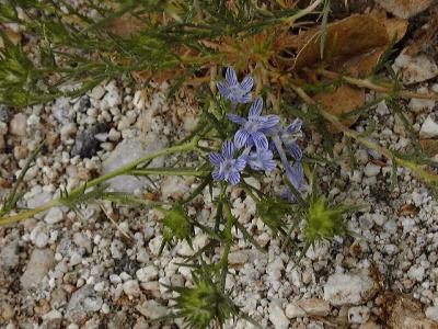 Wildflower, Pacifico Mountain |
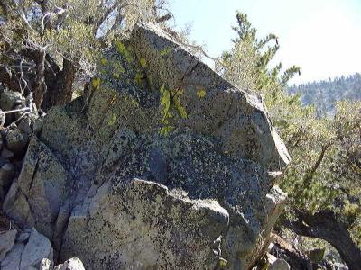 Lichens |
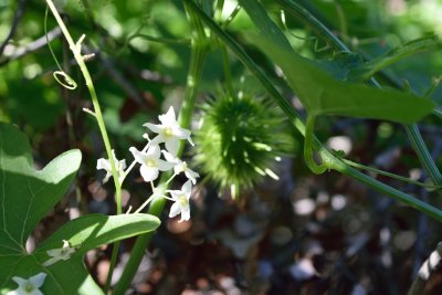
 Oasis! |
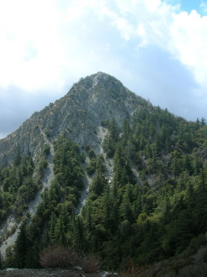
 Northwest Ridge of Mount Williamson |
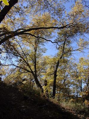
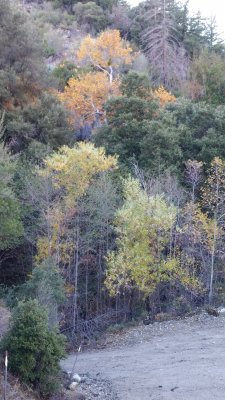
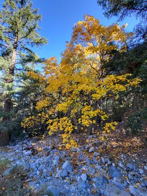
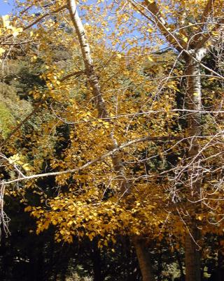 Fall Colors, Alpine Tavern, Mount Lowe Railway |
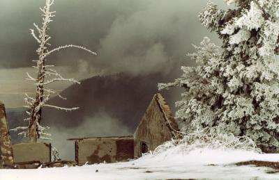
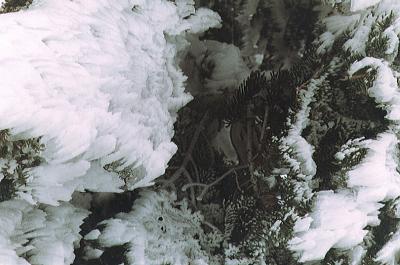 Rime Ice, Mount Islip |
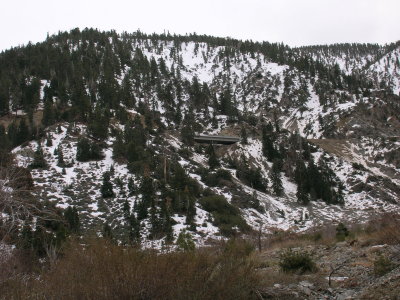
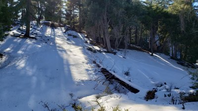
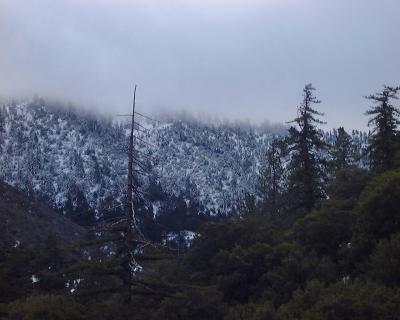 Snow on Pacifico Mountain |
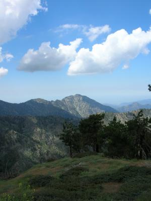
 Strawberry Peak |
 Snow on Disappointment Peak |
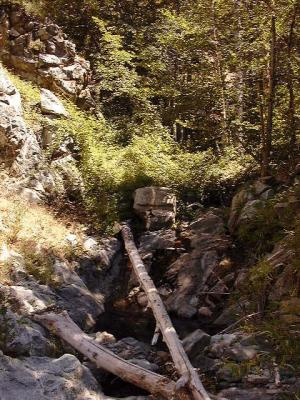
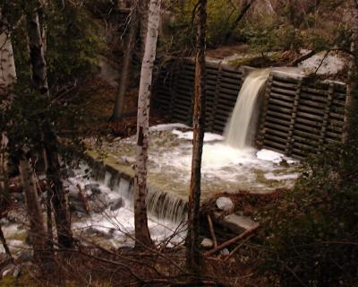 Flood Over Debris Dam, Gabrielino Trail |
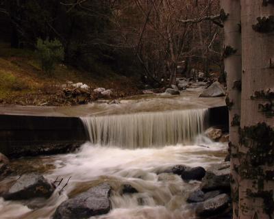 High Water at Switzer's Picnic Area |
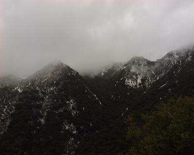
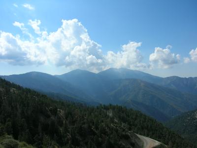
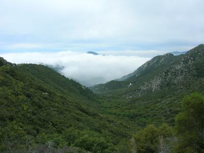
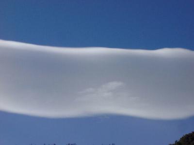
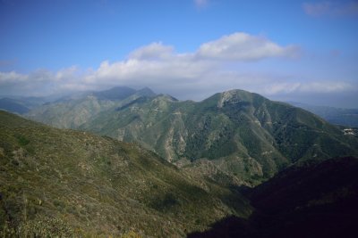
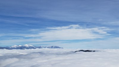
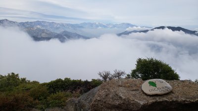
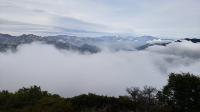
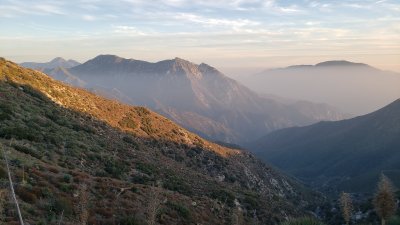
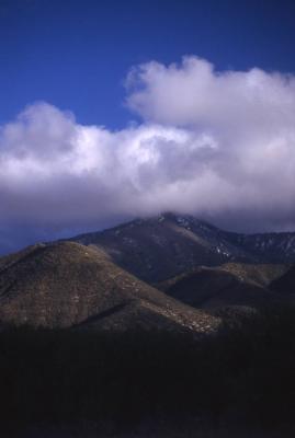 Clouds near Mount Gleason |
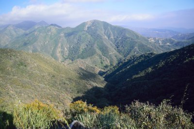
 View Northwest from Mount Gleason |
 View South from Mount Gleason |
 Western White Pine, Mount Gleason |
 Vetter View |
 Black Oaks |
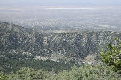
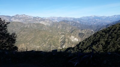
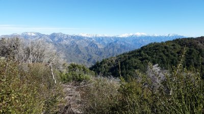
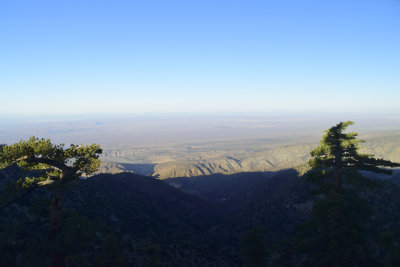
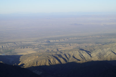
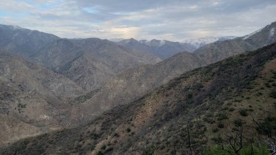
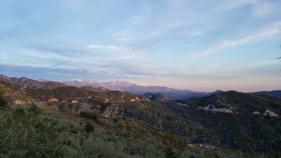
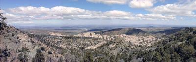 West Mojave Panorama |
 Punchbowl Creek 'Glacier' |
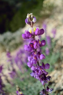
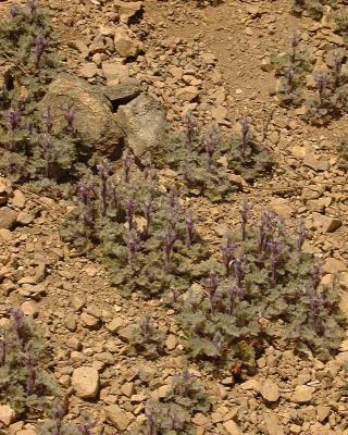 Baby Lupine |
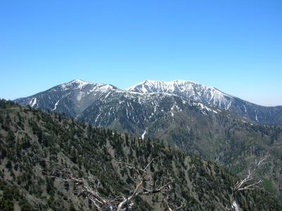
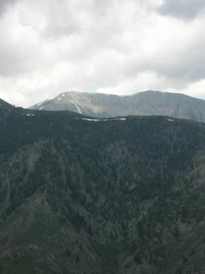
 Distant Mount Baldy |
 Avalanche Debris |
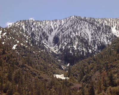
 Pine Mountain and Mount Baldy |
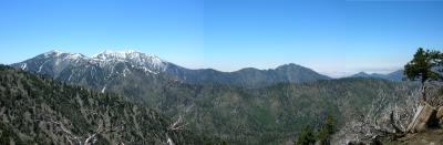 Mount Baldy Panorama |
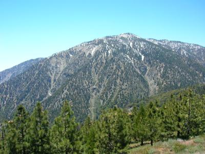 Mount Baden-Powell |
 DSCN0353.JPG |
 DSCN0355.JPG |
 DSCN0356.JPG |
 DSCN0361.JPG |
 DSCN0362.JPG |
 159_islip.jpg |
 DSCN0496.JPG |
 Flood Damage - Big Rock Creek |
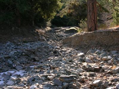 Flood Damage - Big Rock Creek |
 Winter Creek Trail |
 Bear Canyon |
 Smoothness! |
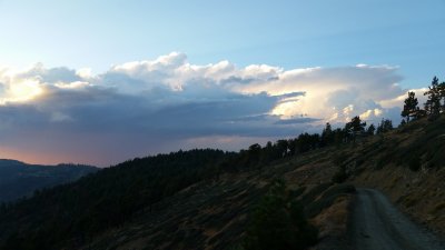
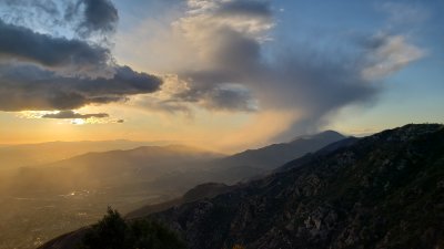
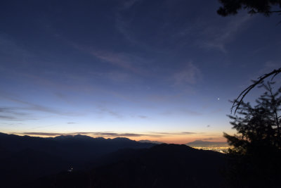
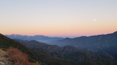
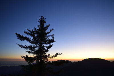
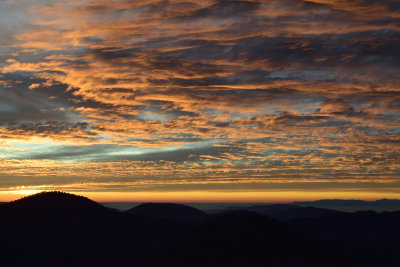
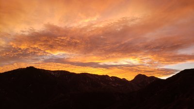
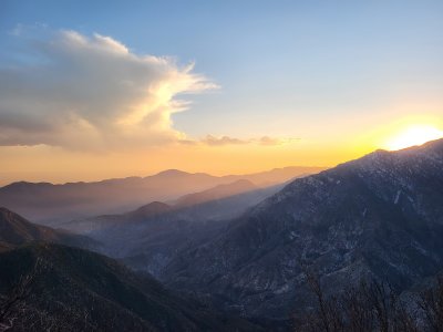
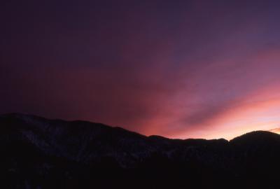 Winter Sunset, San Gabriel Mountains |
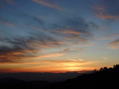 Sunset, Mount Gleason |
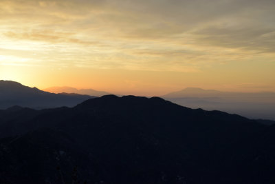
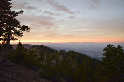
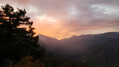
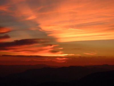 Sunset - Santa Clara Divide |
 173_sangab_clouds.jpg |
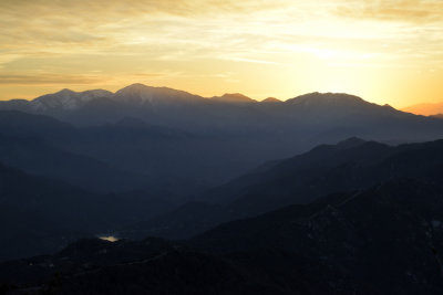
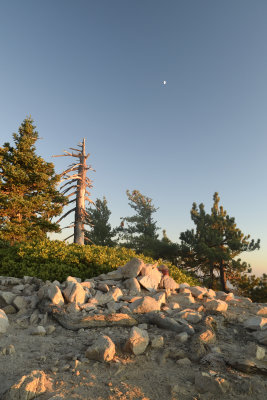
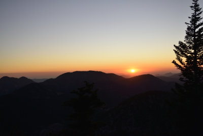
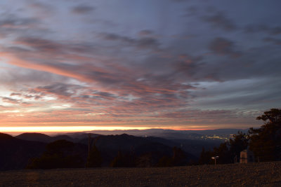
 Round Top Sunset |
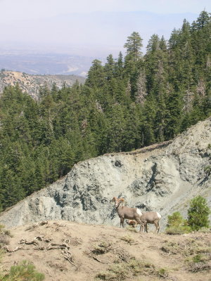 Bighorn Sheep on Wright Mountain |
 Storms Over The Mojave |
 Forest After A Storm |
 Stormy Weather! |
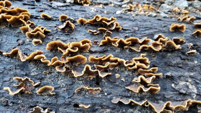
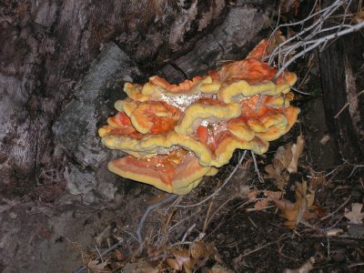 Forest Fungus |
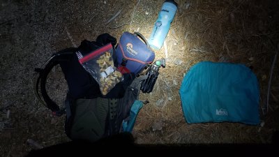
 Bad Idea #1 |
 Bad Idea #2 |
 Bad Idea #3 |
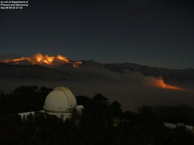 Waterman Mountain Engulfed in Flame |
 DSCN1650.JPG |
 Moody Canyon |
 Moody Canyon |
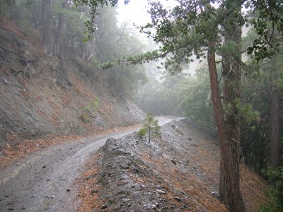
 Fall Creek Road |
 Fall Creek Road |
 Fall Creek Road |
 Fall Creek Road |
 Fall Creek Road |
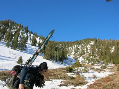
 Spring Snow on Baden-Powell |
 Final Summit Ridge |
 Baden-Powell Summit |
 Mount Markham |
 Bear Canyon |
 Mount Lowe Trail |
 Mount Lowe Trail |
 Jet Propulsion Laboratory |
 San Gabriel Peak |
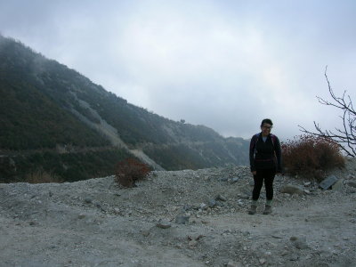 Happy Hiker |
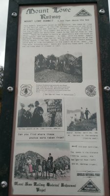 Mount Lowe Summit Marker |
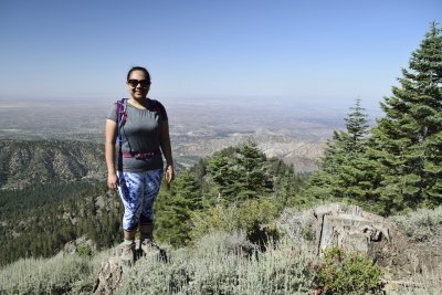
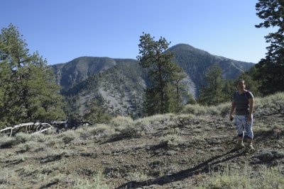
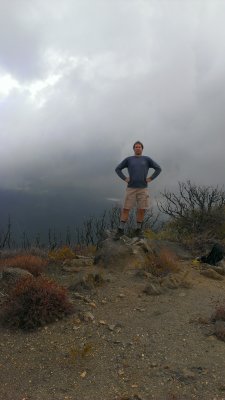 Hero Shot! |
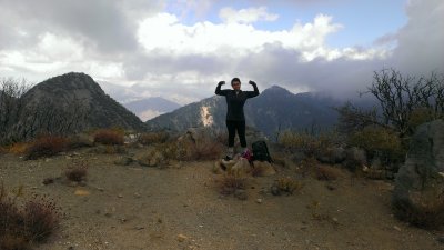 Heroine Shot! |
 Mount Hawkins |
 On The Summit of Mount Hawkins |
 Throop Peak Summit |
 DSC_0200.JPG |
 DSC_0218.JPG |
 DSC_0219.JPG |
 DSC_0223.JPG |
 DSC_0225.JPG |
 DSC_0205.JPG |
 DSC_0601_305_1920.JPG |
 DSC_0602_306_1920.JPG |
 DSC_0603_307_1920.JPG |
 DSC_0619_mod_313_1920.JPG |
 DSC_0620_mod_314_1920.JPG |
 DSC_0621_310_1920.JPG |
 DSC_0624_311_1920.JPG |
 DSC_0625_312_1920.JPG |
 DSC_0626_mod_315_1920.JPG |
 _DSC0981_1920.JPG |
 _DSC0982_1920.JPG |
 _DSC0987_1920.JPG |
 _DSC0989_1920.JPG |
 _DSC0984_1920.JPG |
 _DSC0985_1920.JPG |
 _DSC0986_1920.JPG |
 20170909_183258.jpg |
 20170909_185427.jpg |
 20180127_150541.jpg |
 20180127_165806.jpg |
 20181208_115455.jpg |
 20181208_133038.jpg |
 20181208_144405.jpg |
 20181208_144506.jpg |
 20181208_144733.jpg |
 20181208_144857_ROT.jpg |
 20190118_124509.jpg |
 20190118_124556.jpg |
 20190118_134645.jpg |
 20190118_134720.jpg |
 20190118_134740.jpg |
 20190118_135846.jpg |
 20190118_135953.jpg |
 20190118_140005.jpg |
 20190118_153351.jpg |
 20190118_154530.jpg |
 20190118_154545.jpg |
 20190118_165528.jpg |
 20190120_150552.jpg |
 20190218_171949.jpg |
 20190218_172006.jpg |
 20190218_173911.jpg |
 20190225_161835.jpg |
 20190225_162632.jpg |
 20190312_154705.jpg |
 MOD_DSC1395_1920.JPG |
 MOD_DSC1413_1920.JPG |
 MOD_DSC1414_1920.JPG |
 Sunrise Stuff |
 20190408_130654.jpg |
 20190503_172544.jpg |
 20190503_183759.jpg |
 20190505_182554.jpg |
 20190513_174252.jpg |
 20190515_165808.jpg |
 20190515_165842.jpg |
 20190515_172658.jpg |
 20190517_151643.jpg |
 MOD_DSC1447_1920.JPG |
 MOD_DSC1448_1920.JPG |
 MOD_DSC1449_1920.JPG |
 MOD_DSC1450_1920.JPG |
 MOD_DSC1451_1920.JPG |
 MOD_DSC1452_1920.JPG |
 MOD_DSC1453_1920.JPG |
 MOD_DSC1454_1920.JPG |
 MOD_DSC1458_1920.JPG |
 MOD_DSC1459_1920.JPG |
 MOD_DSC1460_1920.JPG |
 MOD_DSC1465_1920.JPG |
 MOD_DSC1467_1920.JPG |
 20190619_160513.jpg |
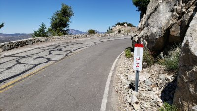 Mile Marker - Mt Wilson Road |
 20190813_194146.jpg |
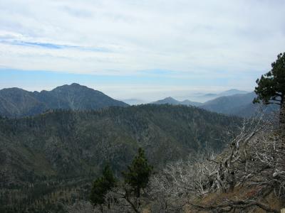
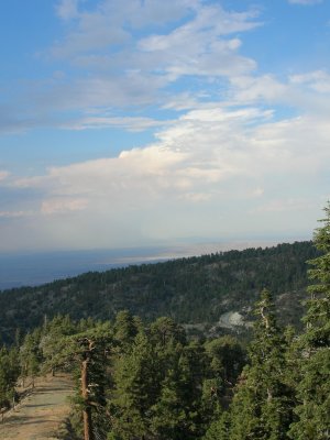
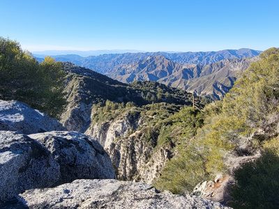
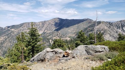 Mt Islip View East |
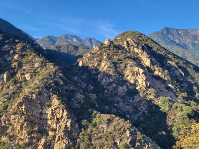
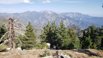 South Mt Hawkins View East |
 00000001.JPG |
 00000002.JPG |
 00000003.JPG |
 00000004.JPG |
 00000005.JPG |
 00000006.JPG |
 00000007.JPG |
 00000008.JPG |
 00000010.JPG |
 00000011.JPG |
 00000016.JPG |
 00000017.JPG |
 00000018.JPG |
 00000019.JPG |
 00000015.JPG |
 20191119_164721.jpg |
 20191119_164808.jpg |
 20191229_153141.jpg |
 20200101_142809.jpg |
 20200101_142850.jpg |
 20200101_170008.jpg |
 20200112_141857.jpg |
 20200114_164645.jpg |
 20200130_151254.jpg |
 20200130_152349.jpg |
 20200130_171235.jpg |
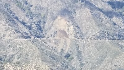
 Controlled Burn, Kenyon Devore Trail |
 20200128_161030.jpg |
 Rim Trail, Mount Wilson |
 20200326_155653.jpg |
 20200326_172553.jpg |
 Stoke reflector! |
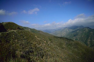
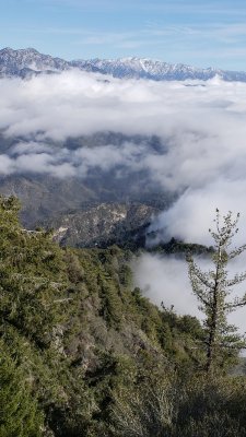
 View south from Mount Gleason |
 View to Mount Wilson from north |
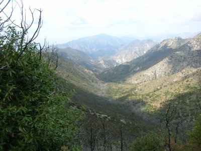
 West Fork San Gabriel River Canyon |
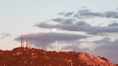
 East summit of Mt Wilson, looking SW to towers |
 Windy Gap Trail |
 Mt Islip View West |
 Mt Islip View North |
 Mt Islip View East |
 Bear Canyon Sunset |
 CA-39 and Mount Williamson |
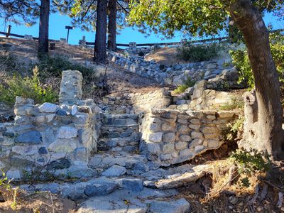 Gabrielino Trail stairs eastbound at Red Box Gap |
 Cool Contrast |
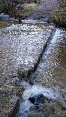
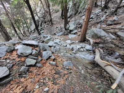 Seasonal stream, Mount Wilson |
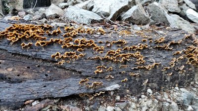
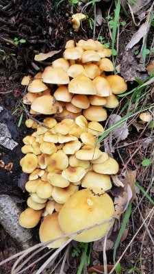
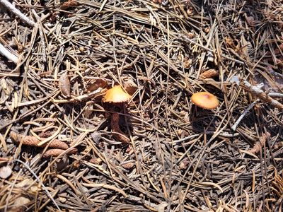 High Country Fungus |
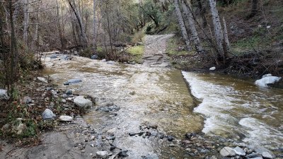
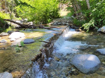 West Fork San Gabriel River |
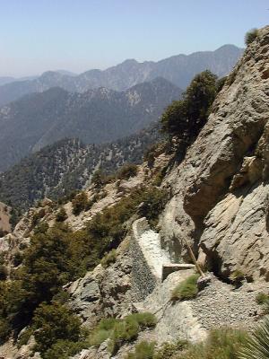
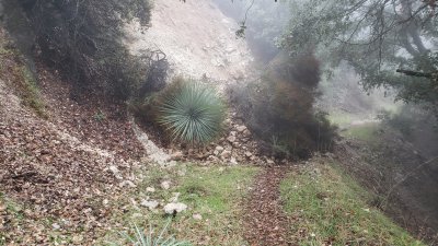
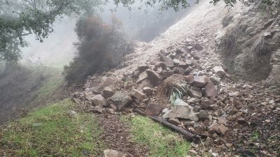
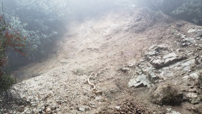
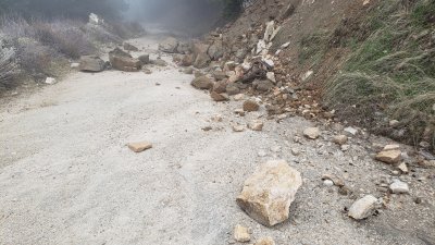
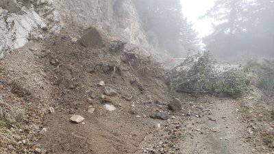
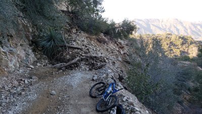
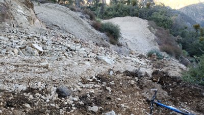
 Slide and temporary repair, Shortcut Road |
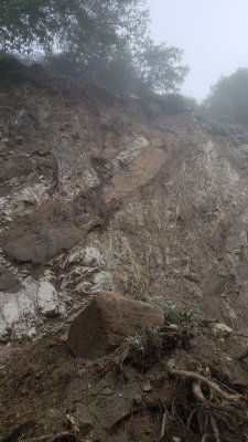
 Slide and temporary repair, Shortcut Road |
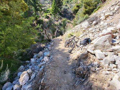
 Idlehour Trail |
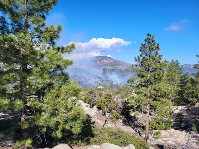 Horse Flats Controlled Burn |
 West Fork view to Red Box Gap |
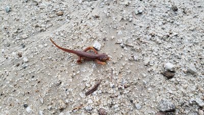
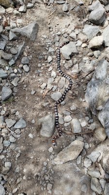
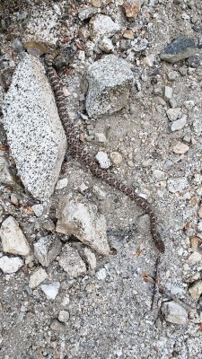
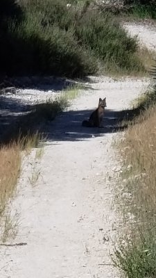
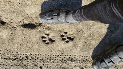
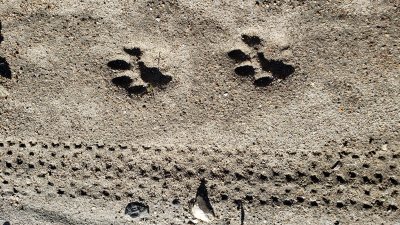
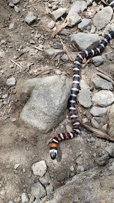 California Mountain King Snake |
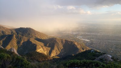
 Disappointing View |
| joseantonio | 01-Jun-2019 04:25 | |
| Paolo Peggi (aka Bracciodiferro) | 22-Jan-2010 06:49 | |
| Tom Kenney | 26-Jan-2005 05:48 | |
| Craig Gillette | 26-Jan-2005 05:24 | |