


|
|
|
|
|
|
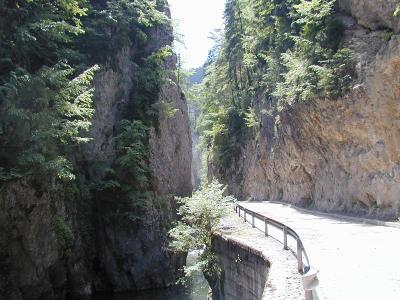
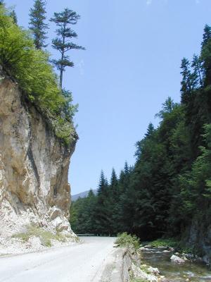
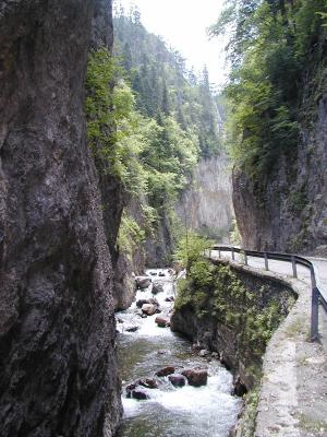
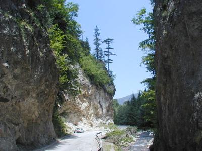
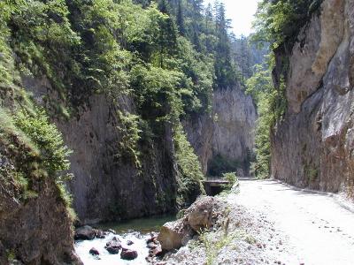
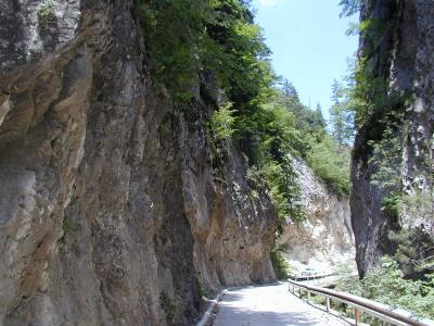
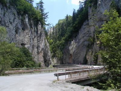
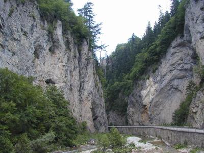
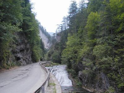
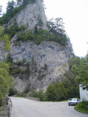
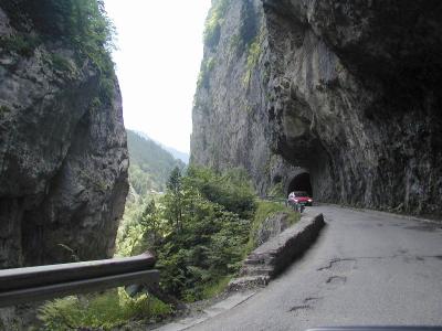
| Nikola Gruev | profile | all galleries >> Bulgaria >> Bulgarian roads and road maps >> The road to Trigrad (Satan's Throat Cave) | tree view | thumbnails | slideshow |
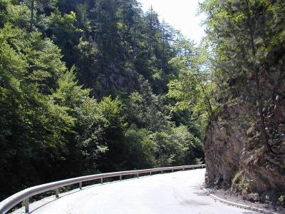 P7111975.JPG |
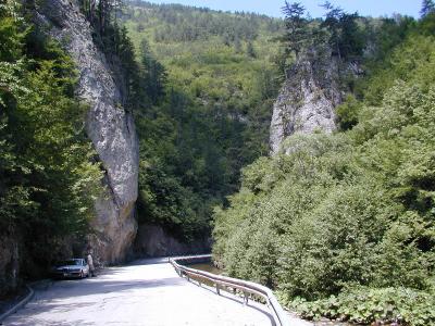 P7111976.JPG |
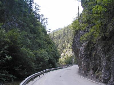 P7111978.JPG |
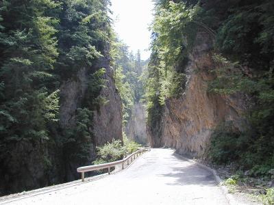 P7111981.JPG |
 P7111982.JPG |
 P7111983.JPG |
 P7111986.JPG |
 P7111987.JPG |
 P7111988.JPG |
 P7111990.JPG |
 P7111991.JPG |
 P7111992.JPG |
 P7111994.JPG |
 P7111996.JPG |
 P7111997.JPG |
| comment | share |