photo sharing and upload picture albums photo forums search pictures popular photos photography help login
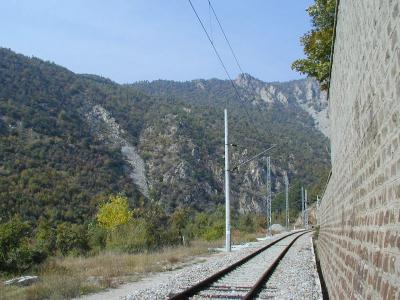
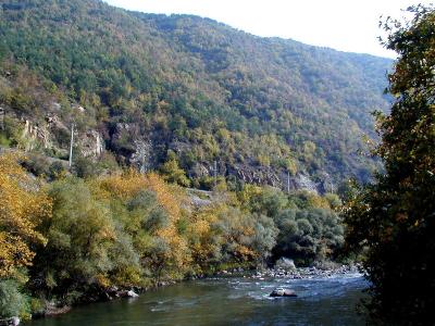
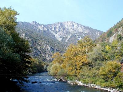
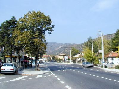
Nikola Gruev | profile | all galleries >> Bulgaria >> Bulgarian roads and road maps >> National road #1 or international #E79 [Sofia - Dupnitsa - Blagoevgrad - Sandanski - Kulata (to the south)] tree view | thumbnails | slideshow

Road maps of Bulgaria | The road to Maliovitsa | A2 Highway (Sofia - Varna) | E772 - Sofia - Veliko Tarnovo - Varna | National road #37 (Zlatichki prohod) | National road #86 (Plovdiv - Asenovgrad - Smolian) | National road #1 or international #E79 [Sofia - Vratsa - Montana - Vidin (to the north)] | National road #1 or international #E79 [Sofia - Dupnitsa - Blagoevgrad - Sandanski - Kulata (to the south)] | National road #1 or International road #E79 Pernik - Dupnitsa (The new Struma freeway) | The road to Zlatograd | The road to Yagodinska cave | The road to Trigrad (Satan's Throat Cave) | The road between Techel and Dospat | Momtchilovtsi's panoramic road | National road #5 or International E85 (Russe - Kurdjali) | National road #6 (Sofia - Burgas) | Rural road

National road #1 or international #E79 [Sofia - Dupnitsa - Blagoevgrad - Sandanski - Kulata (to the south)]

The pictures have been taken on the road south of Blagoevgrad, around the town of Simitli and further south. To see the map, please click the link -->[ https://pbase.com/ngruev/image/75188843
sPA228607a.JPG
sPA228607a.JPG
sPA228608.JPG
sPA228608.JPG
sPA228610.JPG
sPA228610.JPG
sPA228611.JPG
sPA228611.JPG
sPA228612.JPG
sPA228612.JPG
sPA228614a.JPG
sPA228614a.JPG
sPA228616a.JPG
sPA228616a.JPG
sPA228617.JPG
sPA228617.JPG
sPA228620.JPG
sPA228620.JPG
sPA228621.JPG
sPA228621.JPG
sPA228622.JPG
sPA228622.JPG
sPA228623.JPG
sPA228623.JPG
sPA228624.JPG
sPA228624.JPG
sPA228627.JPG
sPA228627.JPG
sPA228629.JPG
sPA228629.JPG
sPA228630.JPG
sPA228630.JPG