


|
|
|
|
|
|
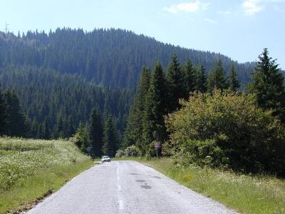
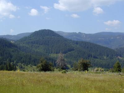
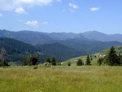
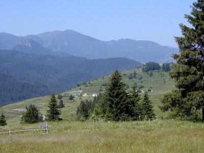
| Nikola Gruev | profile | all galleries >> Bulgaria >> Bulgarian roads and road maps >> The road between Techel and Dospat | tree view | thumbnails | slideshow |
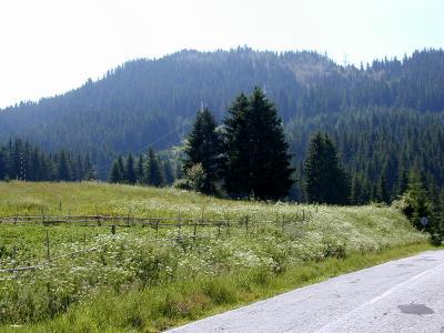
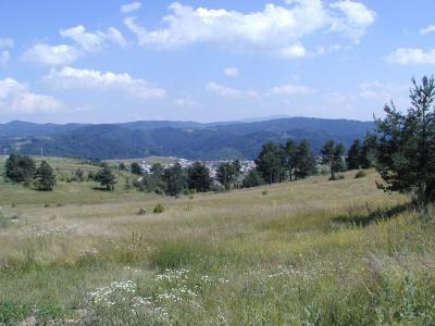
 P7111926.JPG |
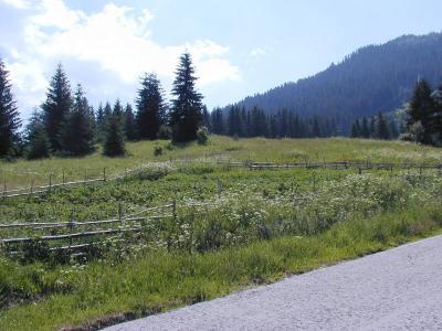
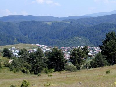
 P7111927.JPG |
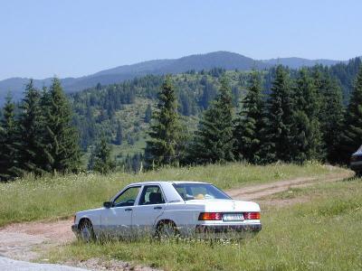
 P7111928.JPG |
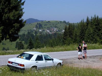
 P7111929.JPG |
 P7111930.JPG |
 P7111931.JPG |
 P7111932.JPG |
 P7111934.JPG |
 P7112050.JPG |
 P7112051.JPG |
| comment | share |