


|
|
|
|
|
|
| Nikola Gruev | profile | all galleries >> Bulgaria >> Bulgarian roads and road maps >> National road #6 (Sofia - Burgas) | tree view | thumbnails | slideshow |
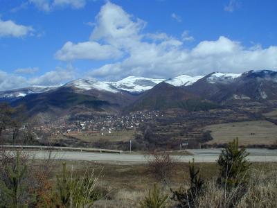 P1224503.JPG |
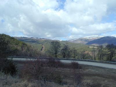 P1224507.JPG |
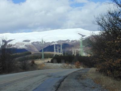 P1224509.JPG |
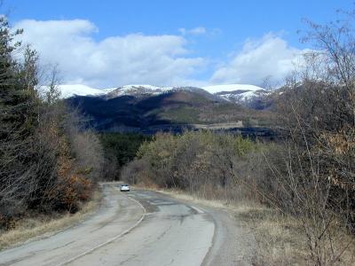 P1224511.JPG |
 P1224514.jpg |
 P1224515.JPG |
| comment | share |