


|
|
|
|
|
|
| Nikola Gruev | profile | all galleries >> Bulgaria >> Bulgarian roads and road maps >> National road #37 (Zlatichki prohod) | tree view | thumbnails | slideshow |
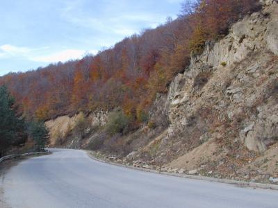 sPB016314.JPG |
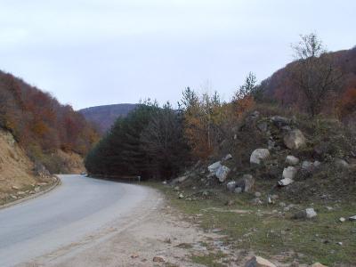 sPB016316.JPG |
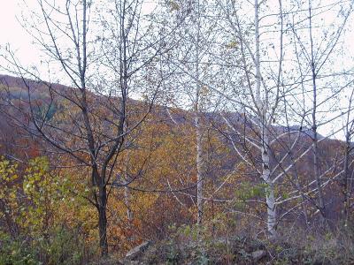 sPB016319.JPG |
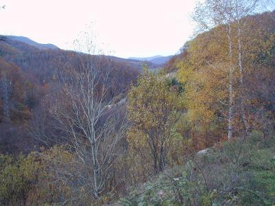 sPB016320.JPG |
 sPB016322.JPG |
 sPB016325.JPG |
 sPB016326.JPG |
 sPb016330.jpg |
 sPB016333.JPG |
| comment | share |