photo sharing and upload picture albums photo forums search pictures popular photos photography help login
Type your message and click Add Comment
It is best to login or register first but you may post as a guest.
Enter an optional name and contact email address. Name
Name Email
help private comment
Dave Beedon | profile | all galleries >> Places >> Utah >> Moab (environs) >> Shafer Trail >> Shafer Trail: Thelma and Louise Plateau tree view | thumbnails | slideshow

Shafer Trail: First Visit | Shafer Trail: Second Visit | Shafer Trail: Goose Neck Viewpoint | Shafer Trail: Shafer Camp | Shafer Trail: Thelma and Louise Plateau | Shafer Trail: Cross-Country Descent to the Colorado River | Ridge of Unknowns

Shafer Trail: Thelma and Louise Plateau

Thelma and Louise plateau (an unofficial name) is the place where the final scene of its
namesake movie was filmed (see https://pbase.com/listorama/2004ut_shafer_thelma ). It
is a mostly level, irregularly-shaped area inside a big bend of the Colorado River. At
its southeast edge there is a little prow pointed at the river; it is there that the
car in the movie went sailing into the abyss (the river canyon).

But the point is merely one aspect of this area; the plateau stretches away to the
south and west to the edges of stream canyons whose surface features, caused by
millions of years of erosion, boggle the mind. I came here initially just to inspect
the Goose Neck, but seeing the drainage features hooked me on the idea of exploring
the landscape on its own terms; this is covered in another gallery.
.
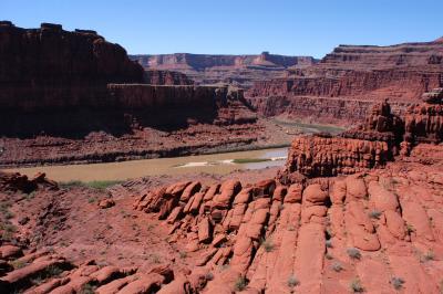
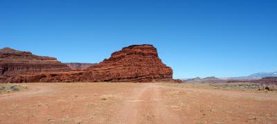
Car-launching pad for Thelma and Louise
Edge-of-plateau terrain
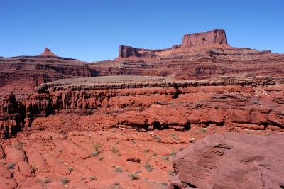
Layer cake
Layer cake
Sandstone rainbow
Sandstone rainbow
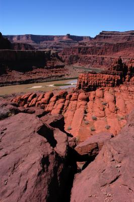
Sandstone joints point to the Goose Neck
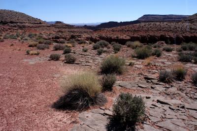
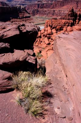
A feeble protest in green
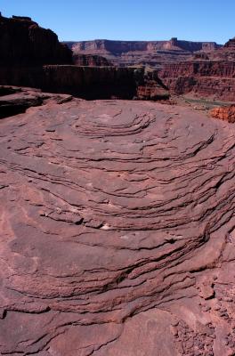
Contour lines on a topographic map