


|
|
|
|
|
|
| Dave Beedon | profile | all galleries >> Places >> Utah >> Moab (environs) >> Shafer Trail >> Shafer Trail: Goose Neck Viewpoint | tree view | thumbnails | slideshow | map |
 Morning inspection |
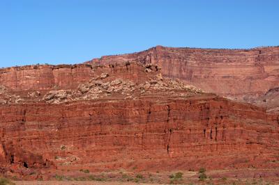
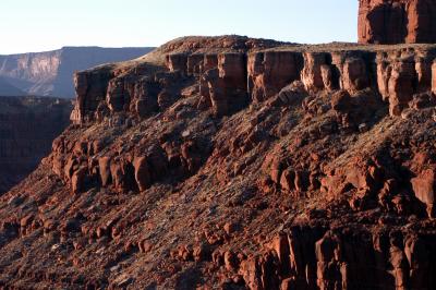 The north slope |
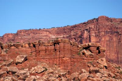
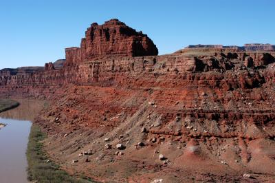
 Lighting reveals a problem with the route I had decided on two years earlier |
 Riverside vegetation |
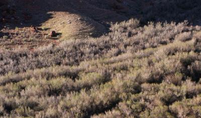 Shadows, game trails, and a jungle of tamarisk |
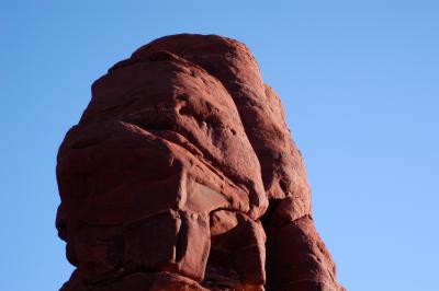 Unknown thing looming above me next to the road |
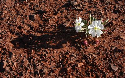 This dwarf evening primrose was about the only flower at the viewpoint |
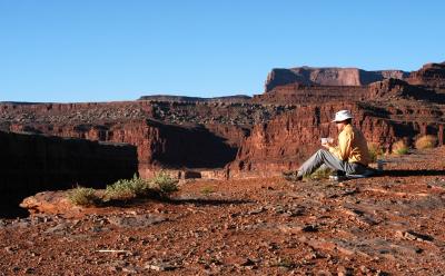 Breakfast at the precipice over the Colorado River |
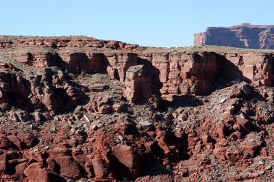
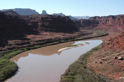
 View from below of the Goose Neck Viewpoint on the White Rim Trail |
 View from Shafer Trail of the Goose Neck Viewpoint on the White Rim Trail |
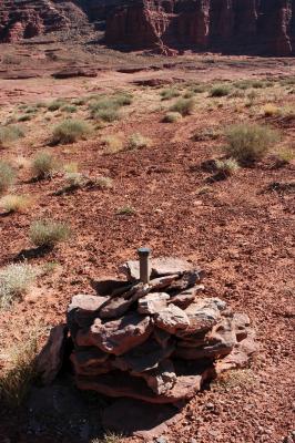 Survey marker with Shafer Trail in the background |
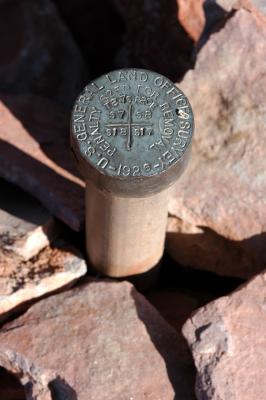 Survey marker up close |
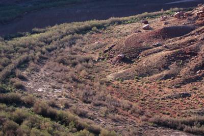
 Bench to left of river looks interesting |
 Slope of increased interest |
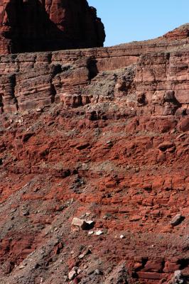 The "problem" |
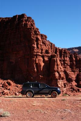 The blue beast waits for me |
| comment | share |