photo sharing and upload picture albums photo forums search pictures popular photos photography help login
Dave Beedon | profile | all galleries >> Places >> Utah >> Dead Horse Point State Park >> Dead Horse Point State Park: Rim hike tree view | thumbnails | slideshow

Driving to Dead Horse Point State Park | Facilities at the Overlook of Dead Horse Point State Park | Dead Horse Point State Park: eastern views | Dead Horse Point State Park: western views | Dead Horse Point State Park: Rim hike

Dead Horse Point State Park: Rim hike


(SCROLL DOWN TO SEE THUMBNAIL IMAGES THAT LEAD TO PHOTOS)


This was a hike in Dead Horse Point State Park that started at the park's visitor's center and followed the canyon rim eastward to a point overlooking the blue evaporation ponds of Intrepid Potash. The rim makes a clockwise arc in this area. My main goal was to get as close as possible to Point 5822, a prominent rock tower that stands above the ponds. The tower's name comes from its summit elevation as shown on topographic maps. That tower fascinates me. The park's visitor's center is at the center of this Wikimapia aerial view.

From the visitor's center I followed a hiking trail and a mountain-biking trail to two scenic overlooks: the Colorado River Overlook and the Great Pyramid Overlook (featuring a view of Pyramid Butte). For most of that way I hiked close to the canyon rim. From the second overlook I continued cross-country along the rim to the end of the mesa. After leaving the trails there were very few signs of human activity: a faint vehicle track leading to a hole drilled in the bedrock (uranium exploration?) and some faint boot prints farther along in one or two places. At the end of the mesa the only evidence of human presence was a crude cairn.

Before driving to Moab I had studied the route with Google Earth and printed out several views for navigating during the hike. Aerial views revealed two places along the rim that appeared to be very narrow and exposed (and maybe blocked). It was a pleasant surprise to find no such problems---hiking was easy and the rock ledges were wide enough that my fear of heights was never an issue.

I expected to find many animal tracks but saw few. Numerous lizards and a few birds were the only animals I encountered. Weather was weird. At the start of the hike it was sunny, but I could see clouds moving in from the south or southwest. The sky got dark now and then, threatening to rain. Fortunately only rain sprinkles fell on me, and then only briefly.

The views into the canyons were fantastic. I enjoyed looking down on places I had driven or walked during previous visits. The return hike was along the same route except for a slight variation at the end when I stayed on a mountain-biking trail instead of using the hiking trail. A surprise was the presence of bike racks at the two overlooks. They were set back a short distance from the precipice so visitors had to walk to the rim.
Overall it was a nice experience.

Photos are being added intermittently in chronological order.

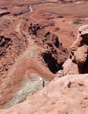
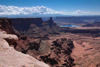
Goal of the hike... 20140524_5479
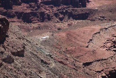
Water guzzler and (mining?) ruins... 20140524_5481
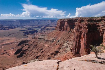
View from the rim... 20140524_5488
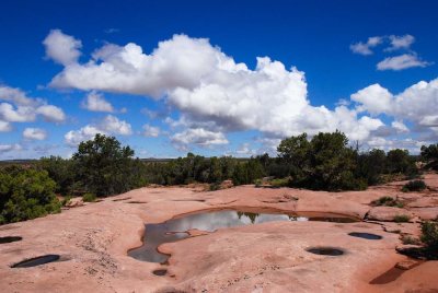
Clouds and puddles... 20140524_5494
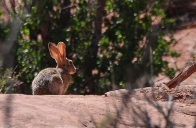
Big ears... 20140524_5502
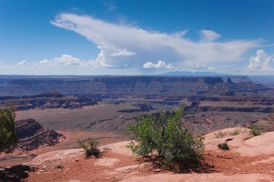
Weird cloud... 20140524_5515
Old mining road... 20140524_5549
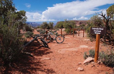
Colorado River Overlook... 20140524_5551
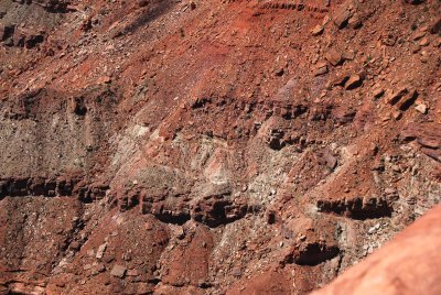
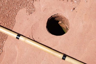
Hole... 20140524_5556
Water guzzler and ruins... 20140524_5568