


|
|
|
|
|
|
| John Barreiro | profile | all galleries >> The Czech Republic plus Bratislava & Budapest >> The Czech Republic >> Český Krumlov | tree view | thumbnails | slideshow |
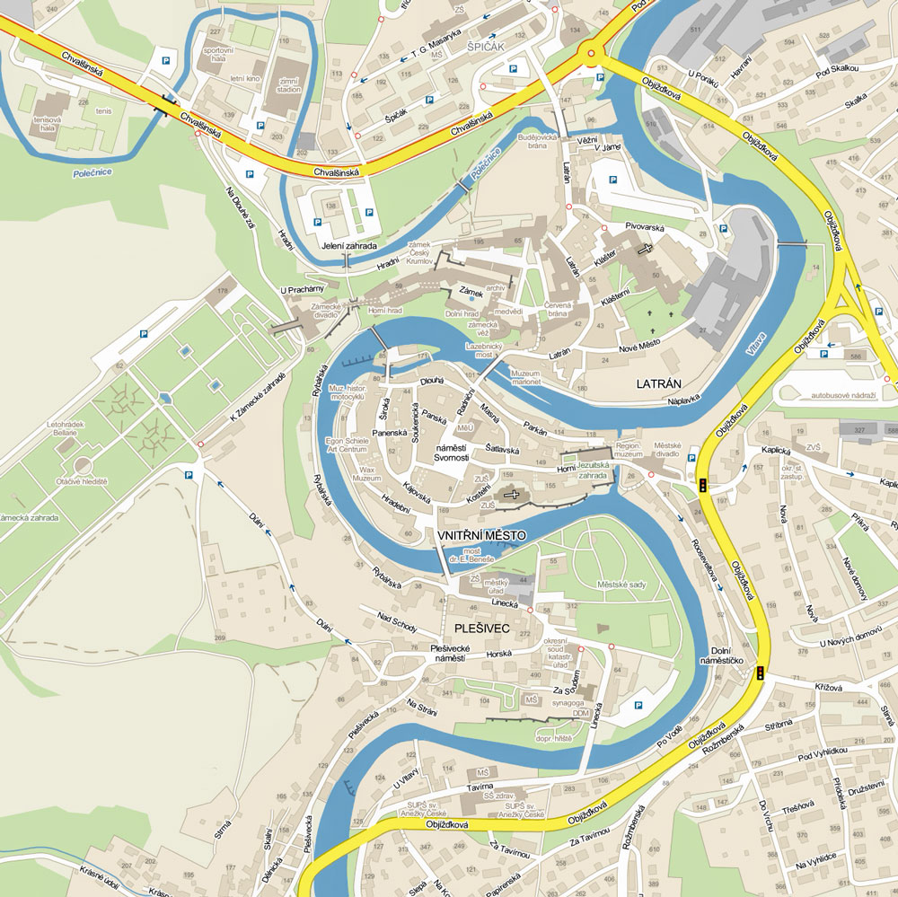
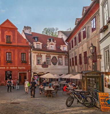
Founded in the 13th century, the original sections of Český Krumlov lie within three tight bends in the Vltava River. The river at this point is much narrower than it is by the time it reaches Prague. The Vnitřní město (inner town) lies within the center and tightest bend. It includes náměstí Svornosti, the main square. It and the surrounding streets are lined with Gothic, Renaissance and Baroque buildings which also fill Latrán, the area between the Castle and the river. |
After World War I, the mostly German-speaking town was occupied by the newly formed Army of Czechoslovakia and became part of that new country. Between 1938 and 1945, areas of Czechoslovakia with a German-speaking majority were annexed by Nazi Germany. Hitler visited the town which was later liberated by the American Army. During 1945 and 1946, the German-speaking population was expelled. The old town fell into disrepair under Communism. |
After the Velvet Revolution of 1989, Český Krumlov was restored. It has become one of the country's prime tourist destinations. Only Prague attracts more foreign visitors. |
:: Roaming Český Krumlov :: |
:: Český Krumlov - Circular Walk :: |
| comment | share |
| Georgia Roessler | 17-Jul-2015 23:22 | |