


|
|
|
|
|
|
| Paul Dudley | profile | all galleries >> 22 Overseas Trips >> Vietnam 2007 >> 11: Bach Ma National Park | tree view | thumbnails | slideshow |
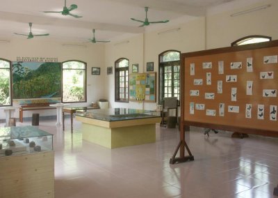 Visitor Centre |
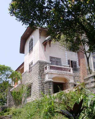 Our hotel |
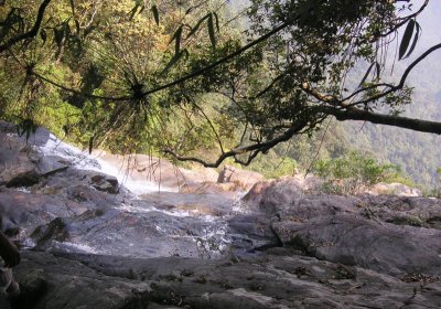
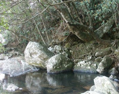 Pool just above the waterfall |
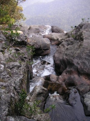
 At the top of the waterfall |
 Distant view from the waterfall |
 Frances and Thuong |
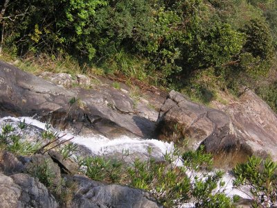
 Stream just before the waterfall |
 Waterfall rim |
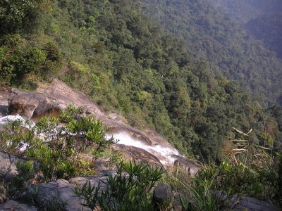
 Last tumble |
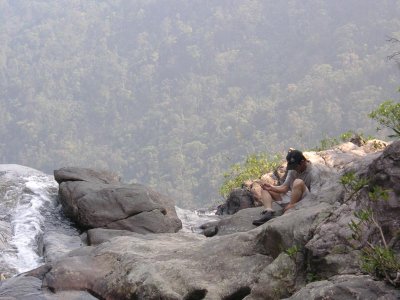
 The top of a 300 m fall |
 Last glimpse of falling water |
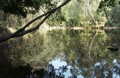 Forest Pool |
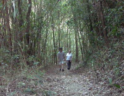 Rhododendron Walk |
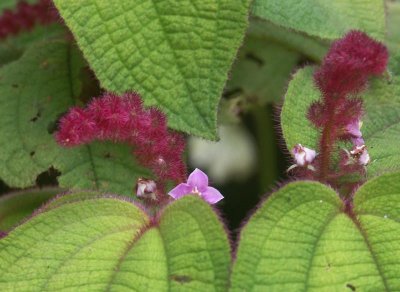 Flower seen along the Rhododendron Walk |
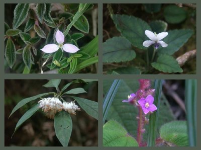 Four flowers seen on Rhododendron Walk |
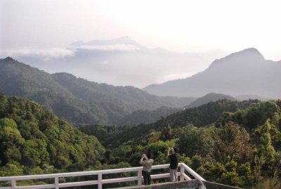 South from the mountain lookout |
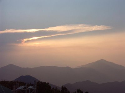 Waiting for sunset |
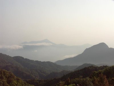 Long view south |
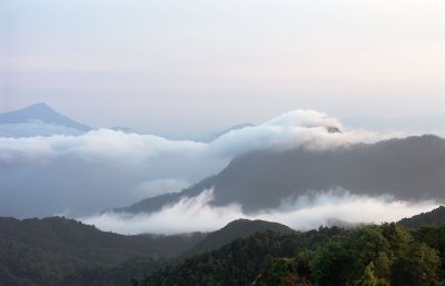 Clouds rising |
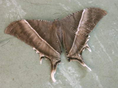 Large moth at breakfast |
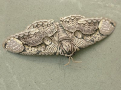 Example of mimicry |
| comment | share |